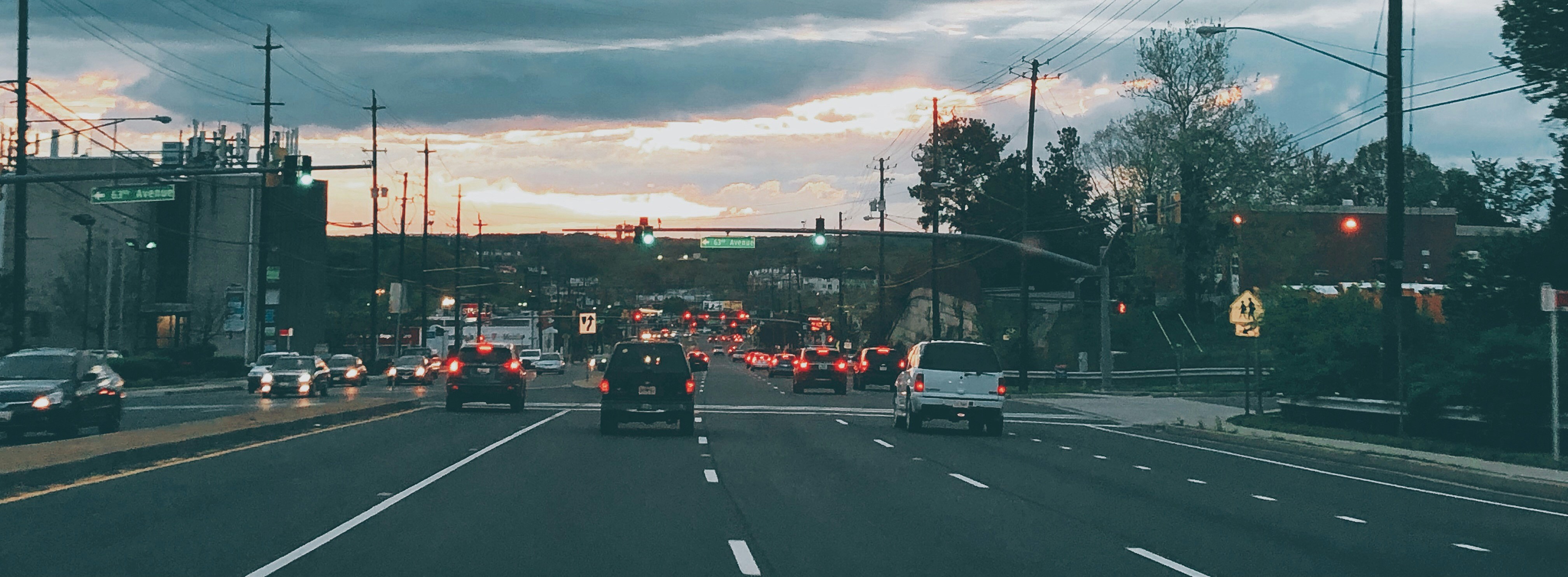
Part street, part road, stroads create risky roadway conditions for motorists, pedestrians, and cyclists alike. But why are stroads so dangerous, and how can we fix them? The answer starts with data.| StreetLight
COVID-driven speeding averages don’t help individual neighborhoods. See how a community measured vehicle volumes and speeds to diagnose the problem.| StreetLight
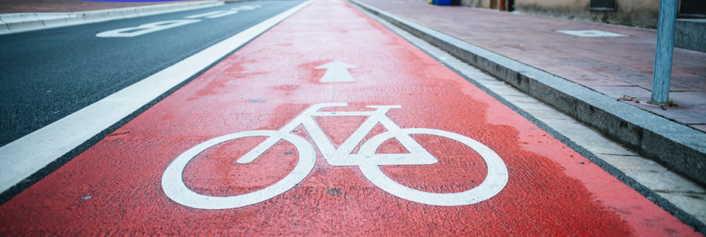
Ensuring roads are safe for all modes of travel starts with smarter infrastructure choices. Here are some of the key safety tactics for each mode and how data helps implement them effectively.| StreetLight
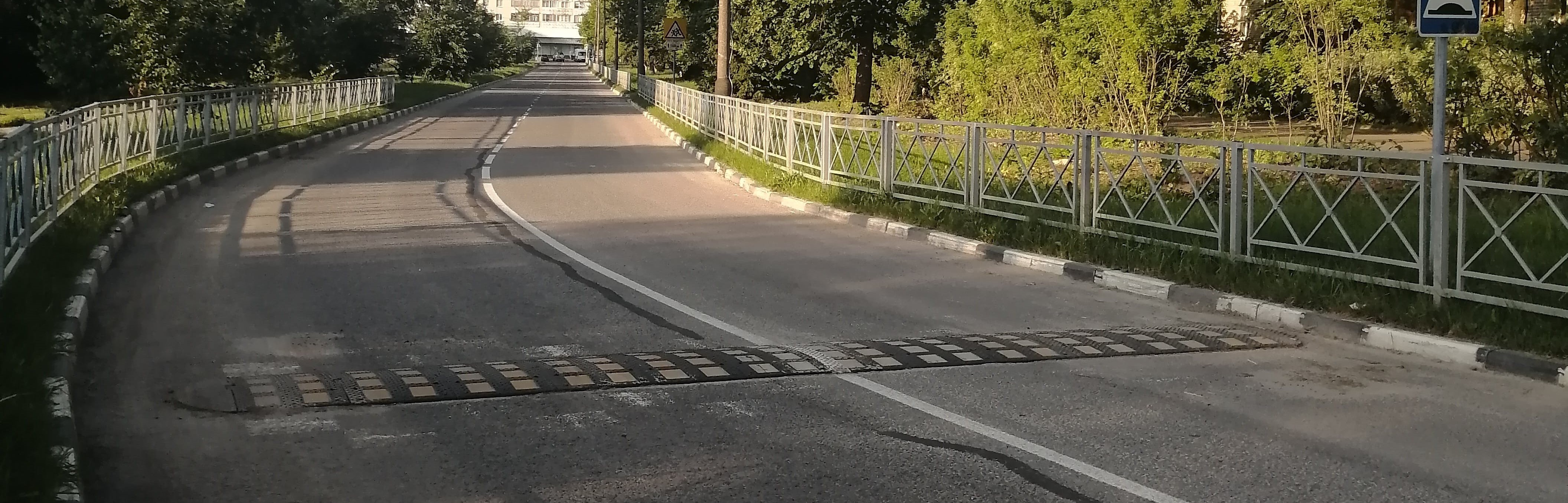
To improve road safety, traffic calming measures reduce vehicle speeds and encourage responsible driving. See how they work and the data behind their success.| StreetLight
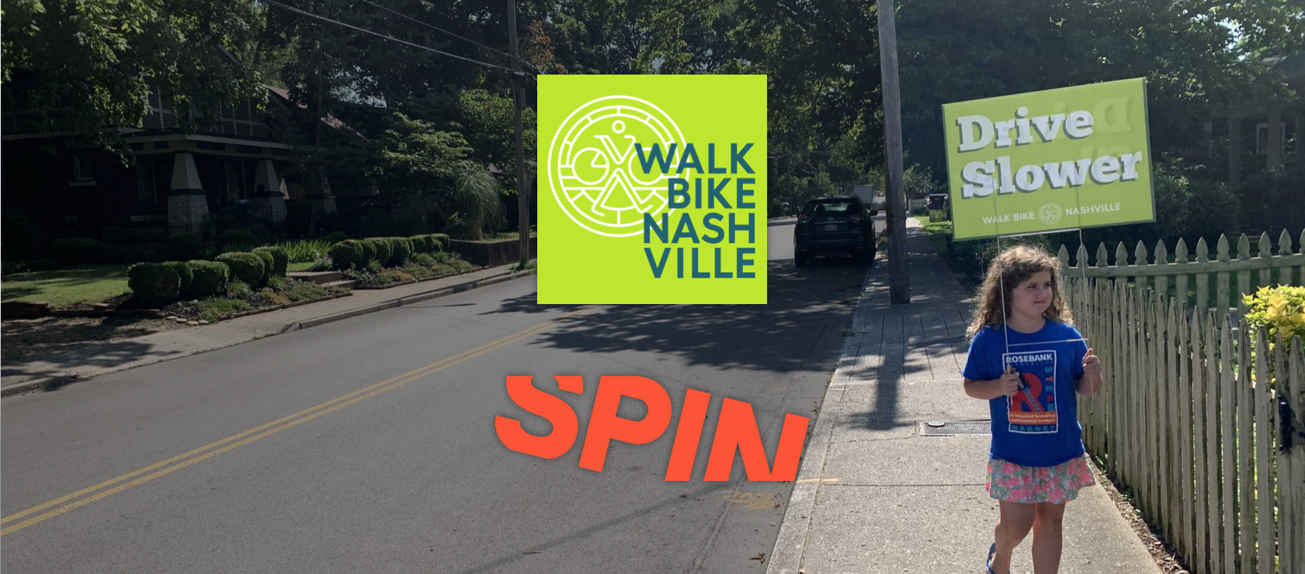
In a push for people-first transportation, vulnerable road users outside vehicles are starting to get more attention. But what is a vulnerable road user exactly, and can this safety classification actually save lives?| StreetLight
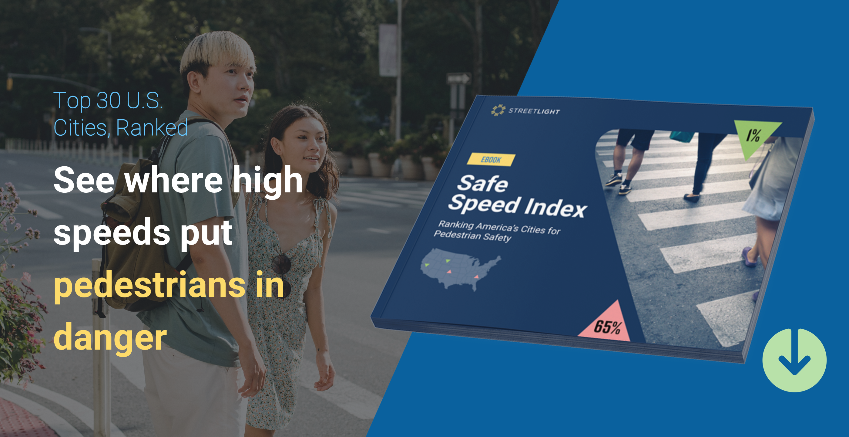
See where the top 30 American cities rank on unsafe traffic speeds and learn how you can use speed data to advance pedestrian safety.| learn.streetlightdata.com
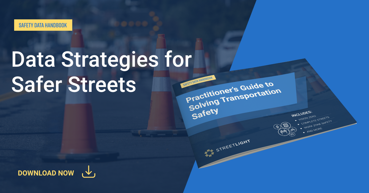
This handbook shows how vehicle, bicycle, and pedestrian analytics can power transportation safety initiatives like Vision Zero, Complete Streets, MIRE, and work zone safety.| learn.streetlightdata.com