The map offers a quick snapshot of current trail and campsite status. Below the map is more detailed information regarding the condition of the trail, further descriptions of trail closures, warnings, and known hazards. Please make sure to review both the backcountry conditions map and the Area Conditions Detail Section of this page| www.nps.gov
Yellowstone National Park covers nearly 3,500 square miles in the northwest corner of Wyoming (3% of the park is in Montana and 1% is in Idaho).| www.nps.gov
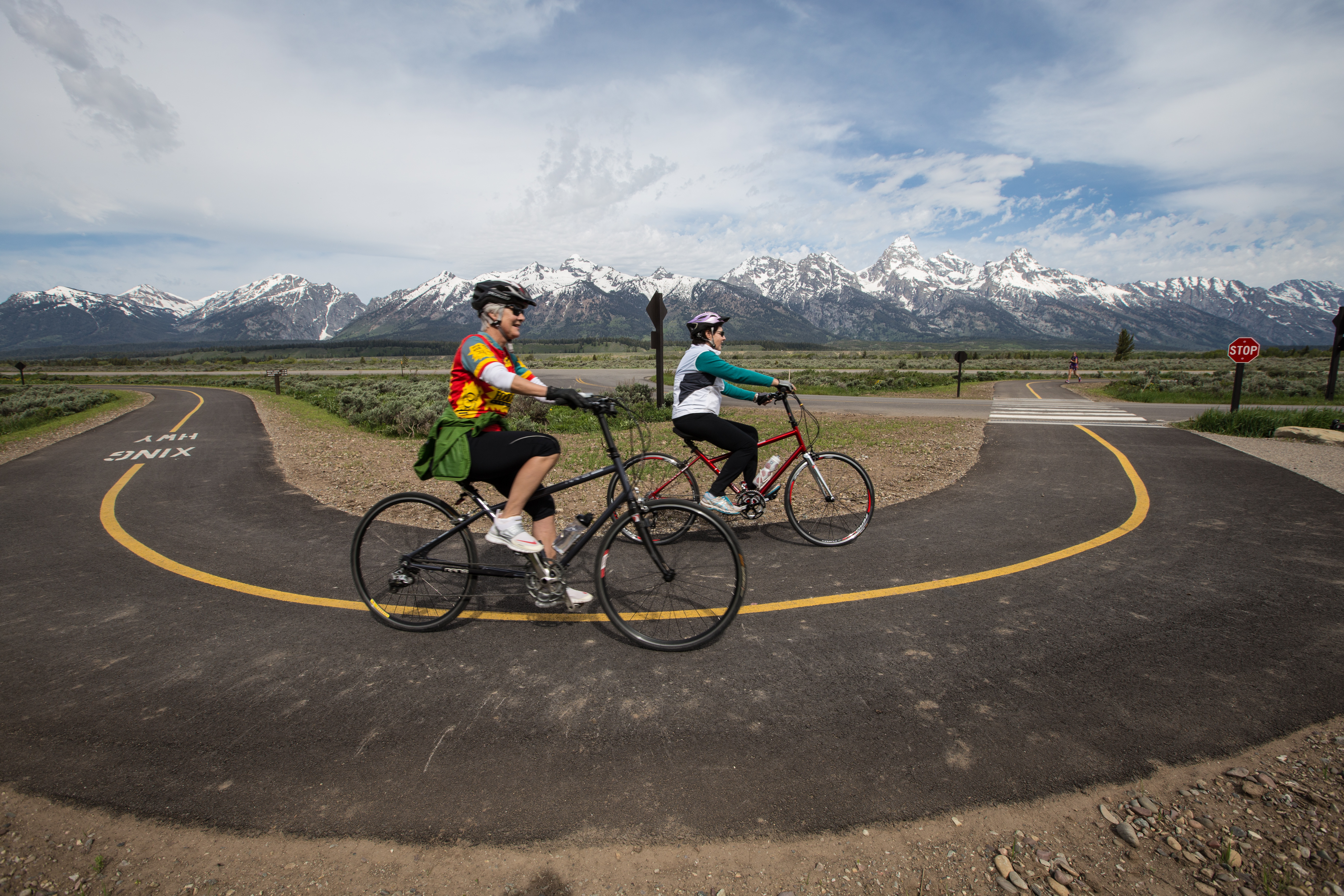
Grand Teton National Park covers nearly 310,000 acres of mountains, lakes, and plains including the major peaks of the Teton Range and the northern half of the valley of Jackson Hole. Grand Teton is open all year, though some areas of the park are inaccessible by car from approximately November through May due to seasonal winter closures.| www.nps.gov