
Proceq GS8000 | Subsurface mapping
Discover our most advanced GPR for utility mapping, subsurface detection and underground visualisation.| www.screeningeagle.com
Discover our most advanced GPR for utility mapping, subsurface detection and underground visualisation.| www.screeningeagle.com

GPRS | Read about: The Common Ground Alliance issues a DIRT (Damage Information Reporting Tool) report annually. The 2020 report analysis was released in Sept. of 2021, and we have taken some time to understand the report and present the key findings.| www.gp-radar.com

Utility Locating: Vacuum Excavation vs. Ground Penetrating Radar and Electromagnetic Location| Dig Different

Discover the power of RTK networks in precision location and navigation. Explore what RTK is, how it works, and how to choose the right network.| pointonenav.com
Ground penetrating radar (GPR) is a shallow, high-resolution geophysical method that uses high-frequency, pulsed, electromagnetic waves to image the subsurface. A GPR unit transmits electromagnetic energy into the ground which is reflected, refracted, or scattered back to the surface depending on the features it encounters (such as changes in geologic media or buried objects). Typically GPR is limited to depths of approximately 10 meters, but in highly resistive subsurface materials, such as ...| clu-in.org
Unlock location precision with RTK positioning. Learn all about real-time kinematic positioning to access the ultimate accurate, reliable location data.| pointonenav.com
The API for Precise Positioning. Enabling safe and reliable location for vehicles, robots, and devices.| app.pointonenav.com

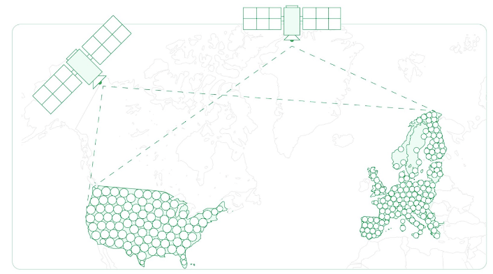
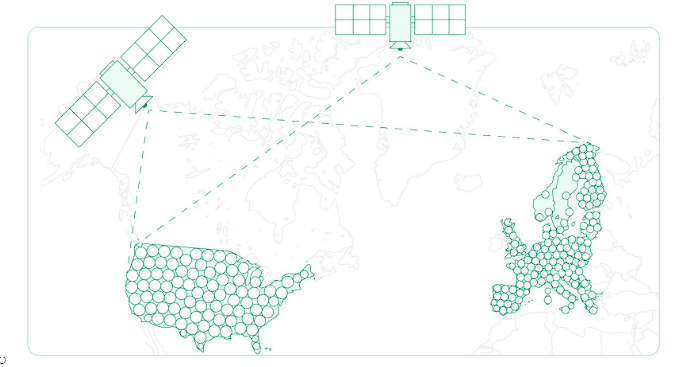
Get cm-accurate positioning with Polaris RTK Corrections Network. Achieve reliable GNSS accuracy for autonomous vehicles, robotics, and more. Learn more now!| pointonenav.com

Discover the top RTK and NTRIP service providers in the US and around the world. Access precise GNSS data in 2024.| pointonenav.com
RTK GPS, or Real-Time Kinematic Global Positioning Systems, represent a significant leap in geospatial positioning technology.| pointonenav.com
