
LiDAR Data Stitching for Precision | Point One Nav
Learn about SLAM LiDAR and how to global georeferencing LiDAR scans without stitching to create a universal reference frame at global scale.| pointonenav.com
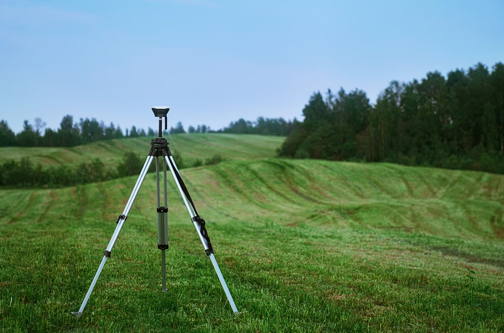
Trilateration is an alternative to triangulation that relies upon distance measurements only. Electronic distance measurement technologies make trilateration a cost-effective positioning technique for control surveys. Not only is it used by land surveyors, trilateration is also used to determine location coordinates with Global Positioning System satellites and receivers.| www.e-education.psu.edu
Regulation & legislation relating to positioning, navigation & timing, one of the most central elements to modern technology systems that we rely on daily.| ANGELS
Learn about SLAM LiDAR and how to global georeferencing LiDAR scans without stitching to create a universal reference frame at global scale.| pointonenav.com

Discover the precision of Inertial Navigation Systems (INS). Learn how INS technology guides vehicles without external references.| pointonenav.com
Discover top tips to select the best RTK in 2024 for unbeatable location accuracy. Enhance your precision tech with our expert guide.| pointonenav.com

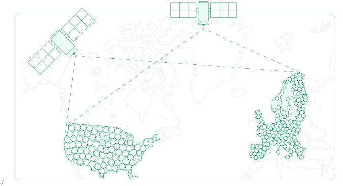
A global positioning system (GPS) is a network of satellites and receiving devices used to determine the location of something on Earth. Some GPS receivers are so accurate they can establish their location within 1 centimeter.| education.nationalgeographic.org

Learn everything there is to know about how to build your own RTK base station–and whether it’s really worth it.| pointonenav.com

Learn all about drone RTK technology and how it's used for positioning accuracy across various industries, from agriculture to damage prevention.| pointonenav.com

Get cm-accurate positioning with Polaris RTK Corrections Network. Achieve reliable GNSS accuracy for autonomous vehicles, robotics, and more. Learn more now!| pointonenav.com

Discover the top RTK and NTRIP service providers in the US and around the world. Access precise GNSS data in 2024.| pointonenav.com
See why dead reckoning and inertial sensors are essential components of high-precision positioning tech stacks for AVs, navigation systems, fleets, & more.| pointonenav.com

Unlock location precision with RTK corrections. Learn how it refines location accuracy for flawless navigation, surveying, and more.| pointonenav.com
RTK GPS, or Real-Time Kinematic Global Positioning Systems, represent a significant leap in geospatial positioning technology.| pointonenav.com
