Industry-leading data sharing partnership announced - British Geological Survey
A data sharing partnership has been agreed between BGS and Ossian, to advance its knowledge of the rock and soil conditions under the seabed.| British Geological Survey
A data sharing partnership has been agreed between BGS and Ossian, to advance its knowledge of the rock and soil conditions under the seabed.| British Geological Survey
An international team of researchers, including BGS geoscientists, have succeeded in acquiring a continuous record of environmental data using fossilised coral from Hawai’i.| British Geological Survey
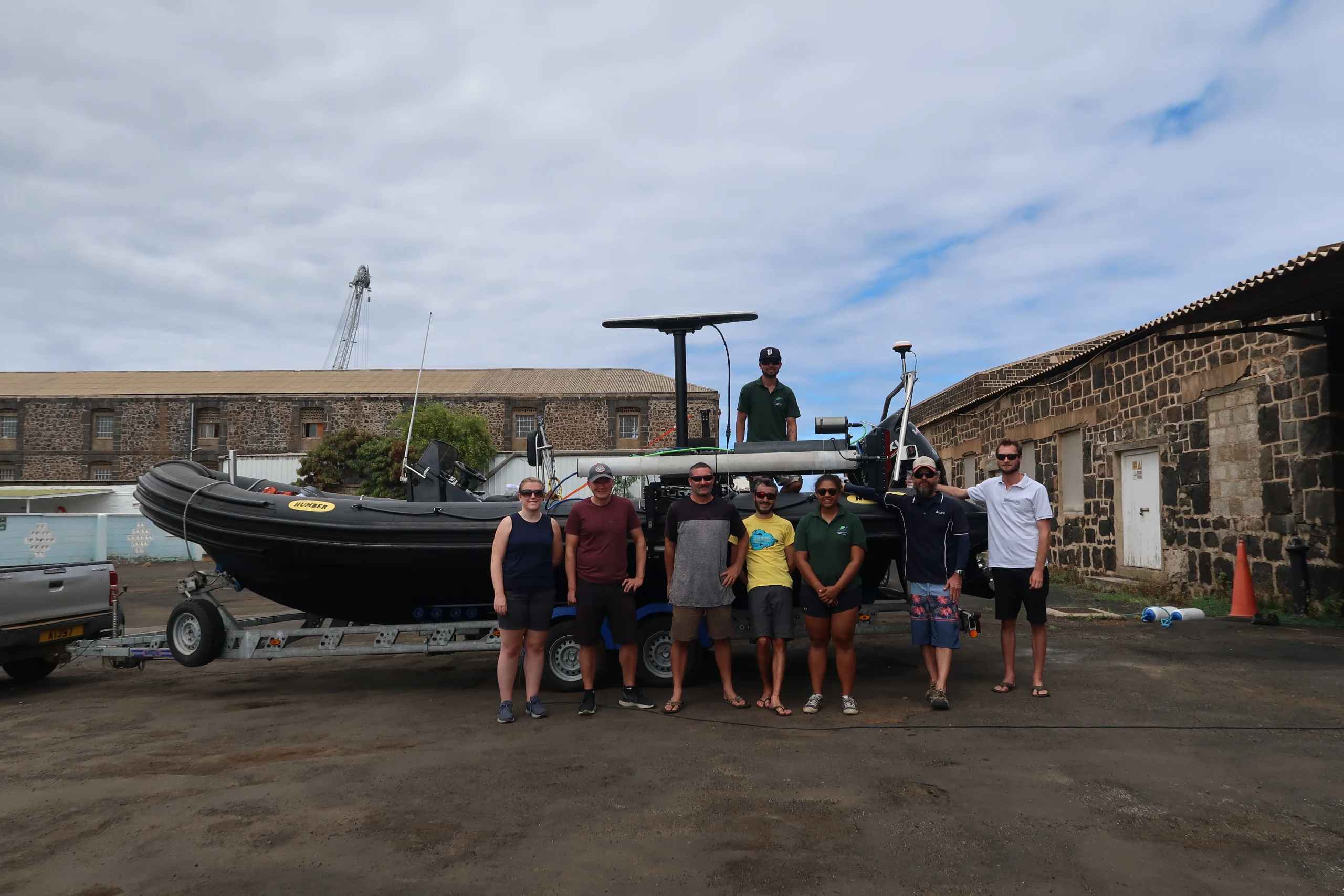
A photo blog by members of the BGS Marine Survey team, who recently completed marine surveys around Ascension Island in the South Atlantic Ocean.| British Geological Survey

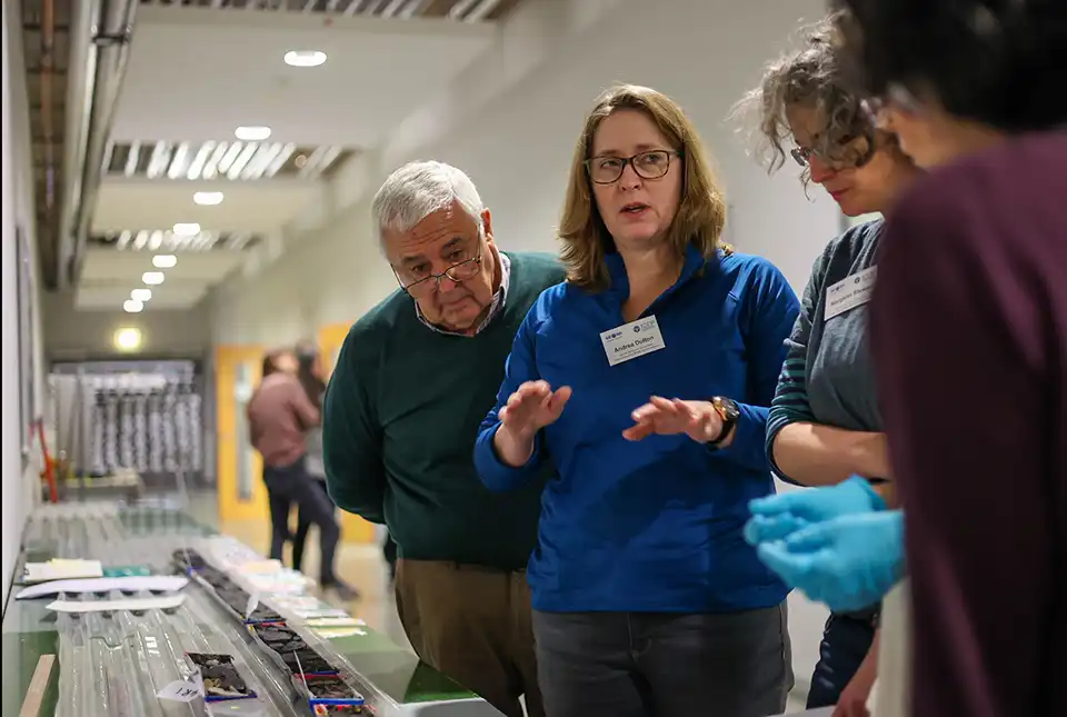
The marine geoscientists at BGS provide independent and expert geological advice, research and data acquisition to anyone working in the marine environment.| British Geological Survey
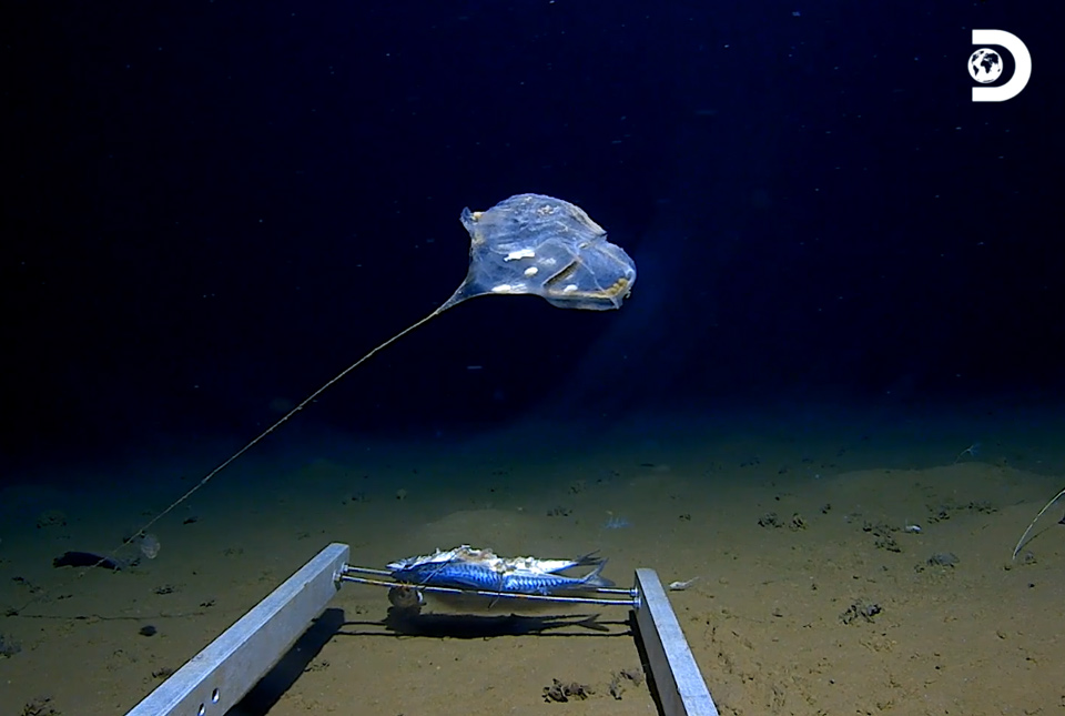
New technology has enabled marine scientists to capture some of the world’s first images of previously unexplored habitats in the deepest point of the Indian Ocean.| British Geological Survey
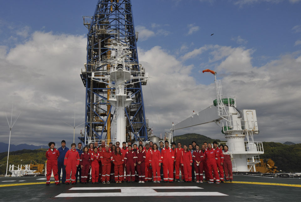
Experts from the BGS marine team are part of a major international marine research collaboration to understand more about earthquakes associated with the Japan Trench.| British Geological Survey

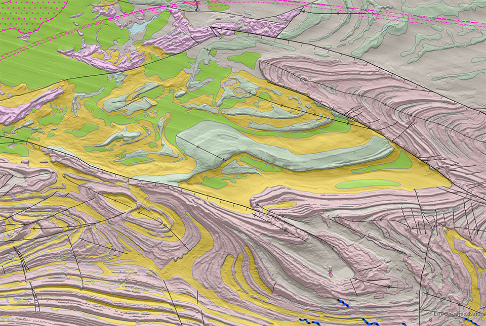
Offshore Yorkshire is the latest map to be released in BGS's series of fine-scale digital seabed maps.| British Geological Survey

BGS has released a new high-resolution digital map featuring the seabed geology of offshore Anglesey (also known as Ynys Môn in Welsh)| British Geological Survey
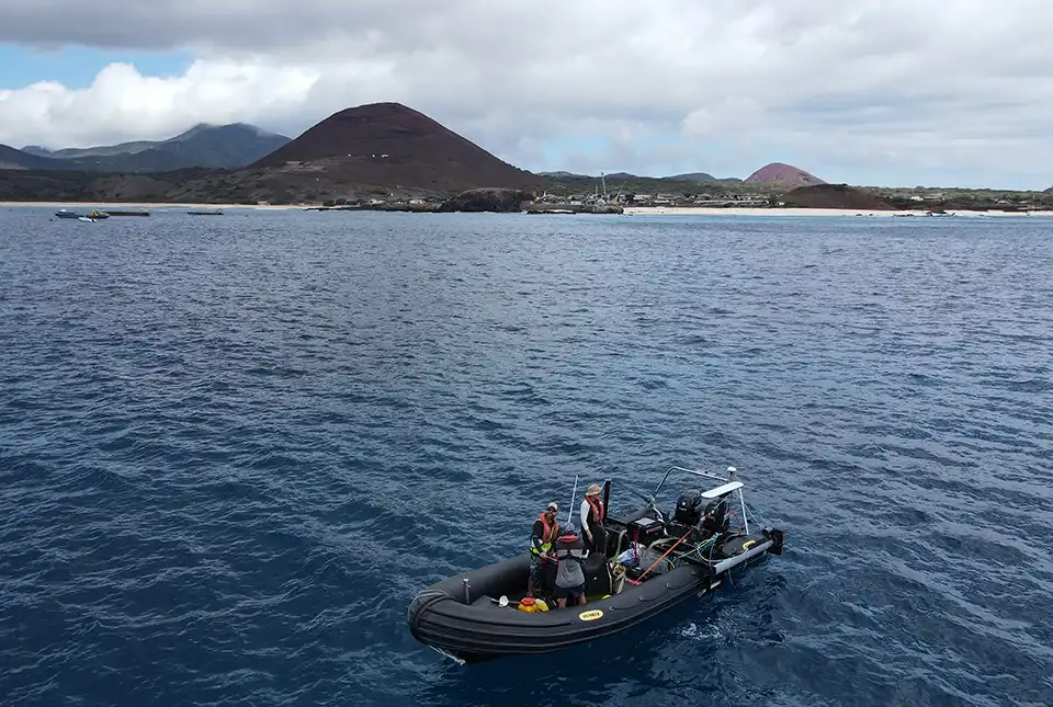
BGS marine geoscientists travelled to Ascension Island to support its government with an ongoing, conservation-driven mapping programme.| British Geological Survey
37 results for "marine geoscience"| British Geological Survey
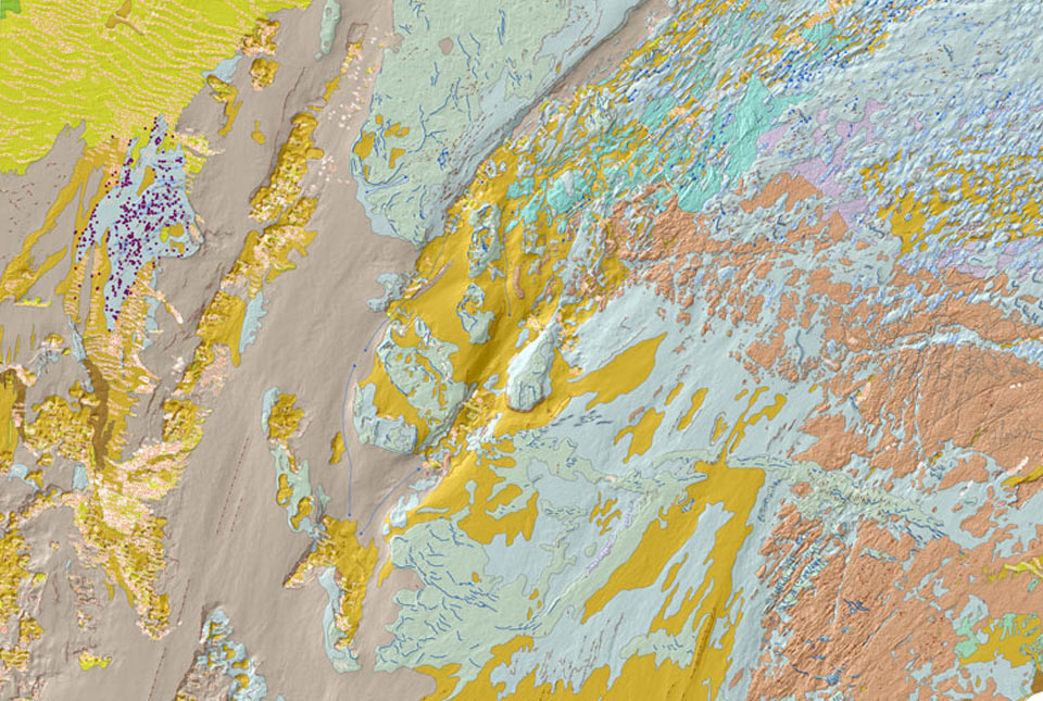
A Seabed Geology mapping programme on the UK’s continental shelf, detailing the Substrate Geology, Structural Geology and Seabed Geomorphology.| British Geological Survey