In the GeoCoast launch webinar, you will gain insights into the content of the data and why it is important to understand the natural geological conditions, and learn more about our development of coastal erosion data and its potential uses.| British Geological Survey

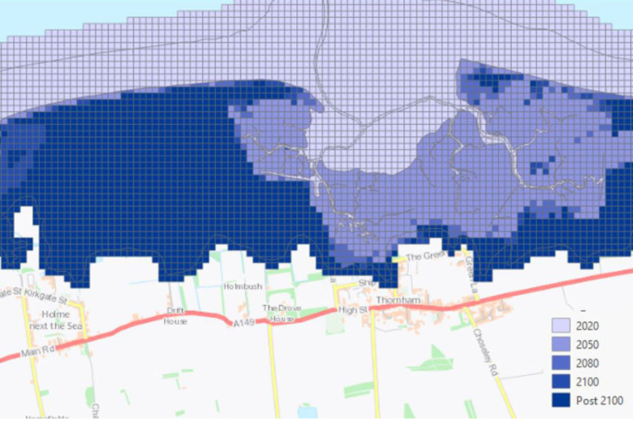
GeoCoast is an integrated GIS package of datasets designed to inform and support coastal management and adaptation.| British Geological Survey
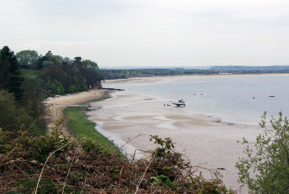
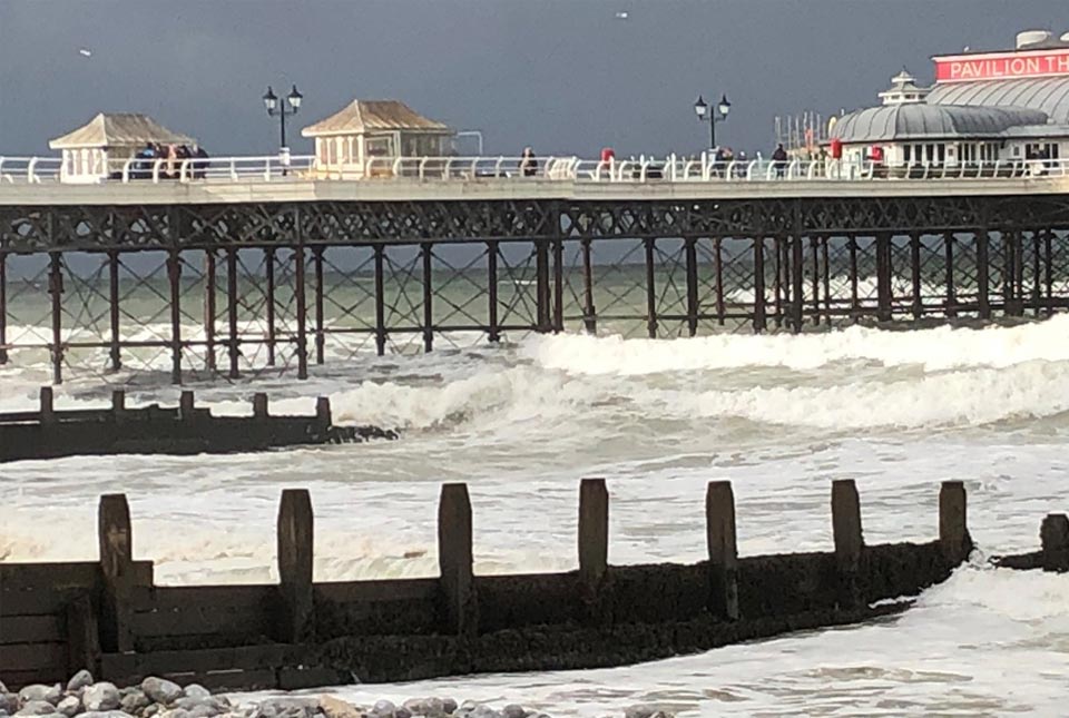
We explore how parts of the British coastline are changing and what important factors we should consider in terms of natural hazards, adaptation and resilience.| British Geological Survey
How much of an issue are coastal vulnerabilities and what do we need to consider to increase our resilience to future events?| British Geological Survey
56 results for "climate change"| British Geological Survey
48 results for "digital data"| British Geological Survey