As OGC’s Chief Innovation Officer, Cassie Lee will leverage her expertise in aerospace, emerging technology, and geospatial AI to drive innovation and expand the Consortium’s impact.| Open Geospatial Consortium
Discover OGC's approval of API Maps Part 1: Core as an official standard, enhancing geospatial map delivery and integration capabilities.| Open Geospatial Consortium
Learn about OGC's approval of API Features Part 3: Filtering as an official standard, enhancing geospatial data query and retrieval capabilities.| Open Geospatial Consortium
OGC approves two new Abstract Specification Topics on Coverages, enhancing geospatial data frameworks and supporting future implementation standards.| Open Geospatial Consortium
The virtual Code Sprint will be held held March 25-27, 2025. All OGC Standards are in scope for this code sprint, including OGC API Standards.| Open Geospatial Consortium
Learn about BNETD becoming an OGC Principal Member to contribute to advancing open geospatial standards and fostering global collaboration.| Open Geospatial Consortium
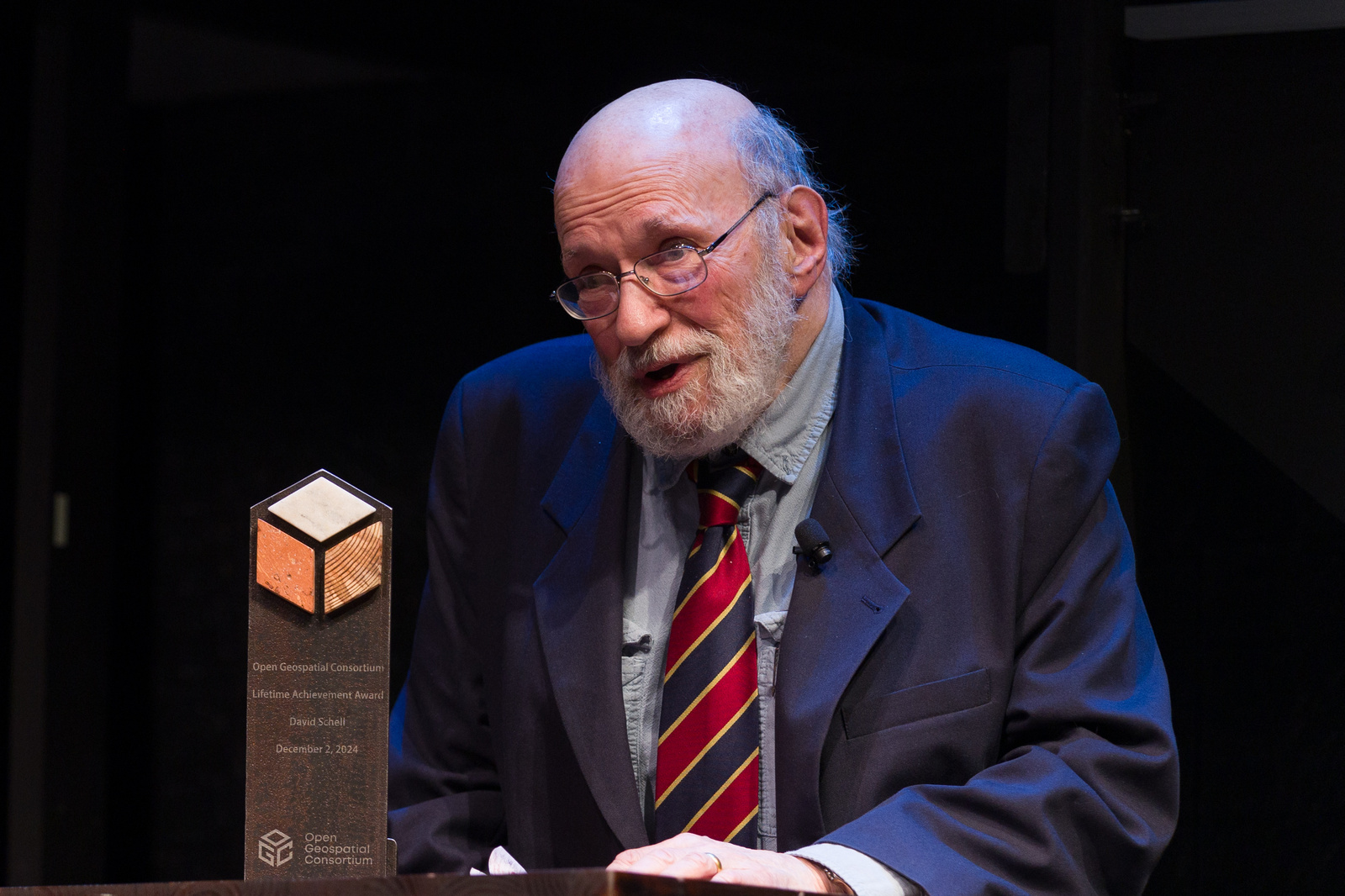
Celebrate OGC's 30th Anniversary as geospatial leaders and contributors are honored for advancing geospatial standards and innovation.| Open Geospatial Consortium
Learn about the approval of OGC API Moving Features Part 1 as a standard, advancing the handling of dynamic geospatial data.| Open Geospatial Consortium
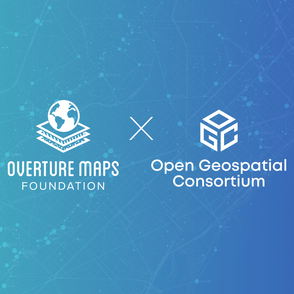
The Overture Maps Foundation joins OGC to strengthen the global geospatial community, advancing open standards and collaborative innovation.| Open Geospatial Consortium