ZIP Code Tabulation Areas (ZCTAs)
Information about ZIP Code Tabulation Areas (ZCTAs), which are generalized areal representations of United States Postal Service (USPS) ZIP Code service areas.| Census.gov
Information about ZIP Code Tabulation Areas (ZCTAs), which are generalized areal representations of United States Postal Service (USPS) ZIP Code service areas.| Census.gov
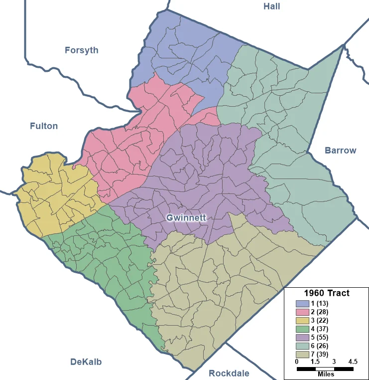
We take a close look at the past and present of census tracts, a key reporting unit for Census data--and critical geography for figuring out (along with those data) eligible areas for grant funding.| 33n
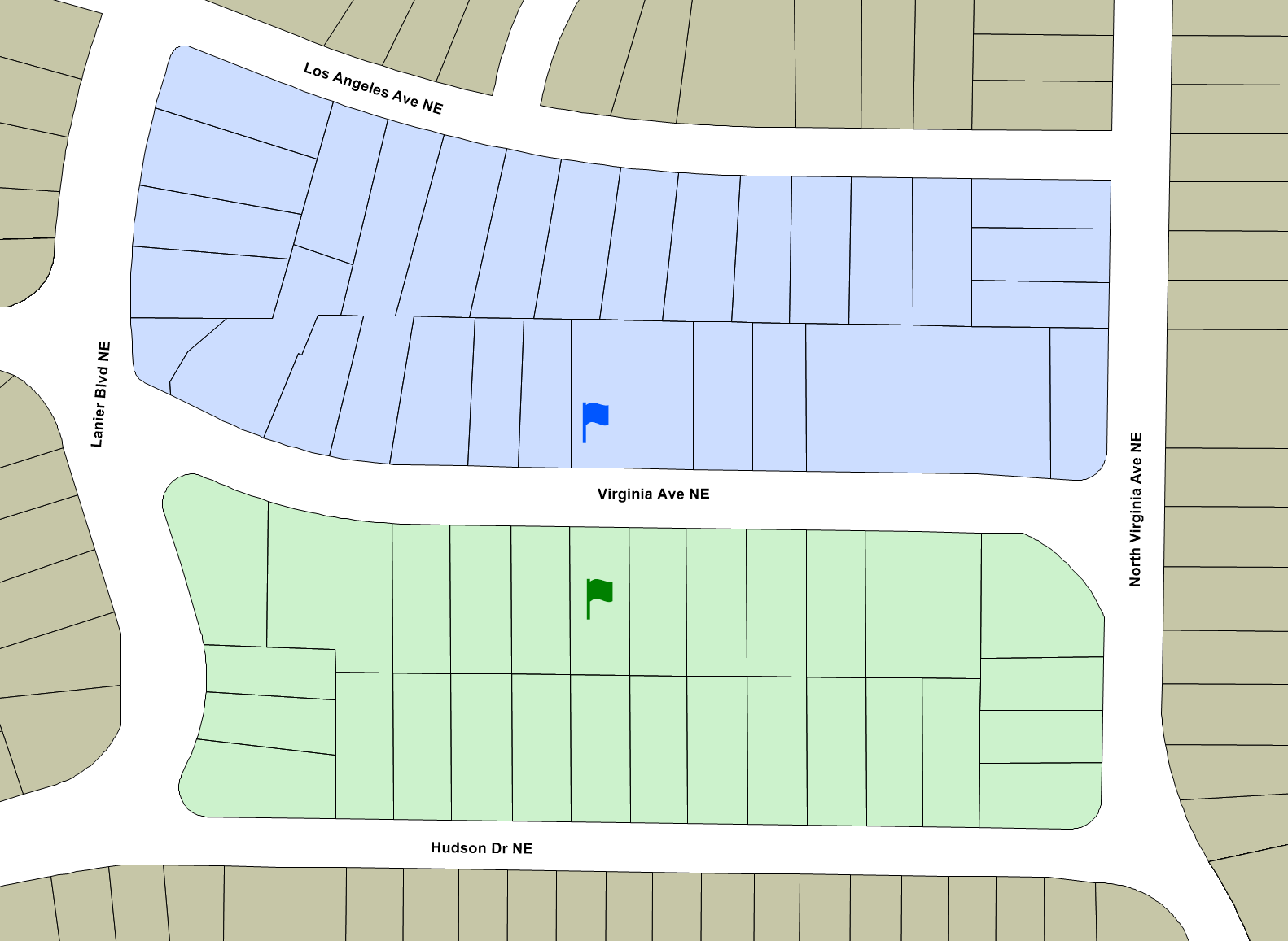
Understanding Census geography is critical to evaluating findings that use Census data. As the first in a series: how is a city block different from a Census block?| 33n
