
Drones in Mapping and Surveying | FlyGuys
Land surveying and mapping are closely related fields often used together to create accurate and reliable maps of the Earth’s surface. Land surveying provides the foundational data and measurements…| FlyGuys
Land surveying and mapping are closely related fields often used together to create accurate and reliable maps of the Earth’s surface. Land surveying provides the foundational data and measurements…| FlyGuys
Get professional drone services from our nationwide company including mapping, inspection, photography, & more. Contact Us Today!| FlyGuys
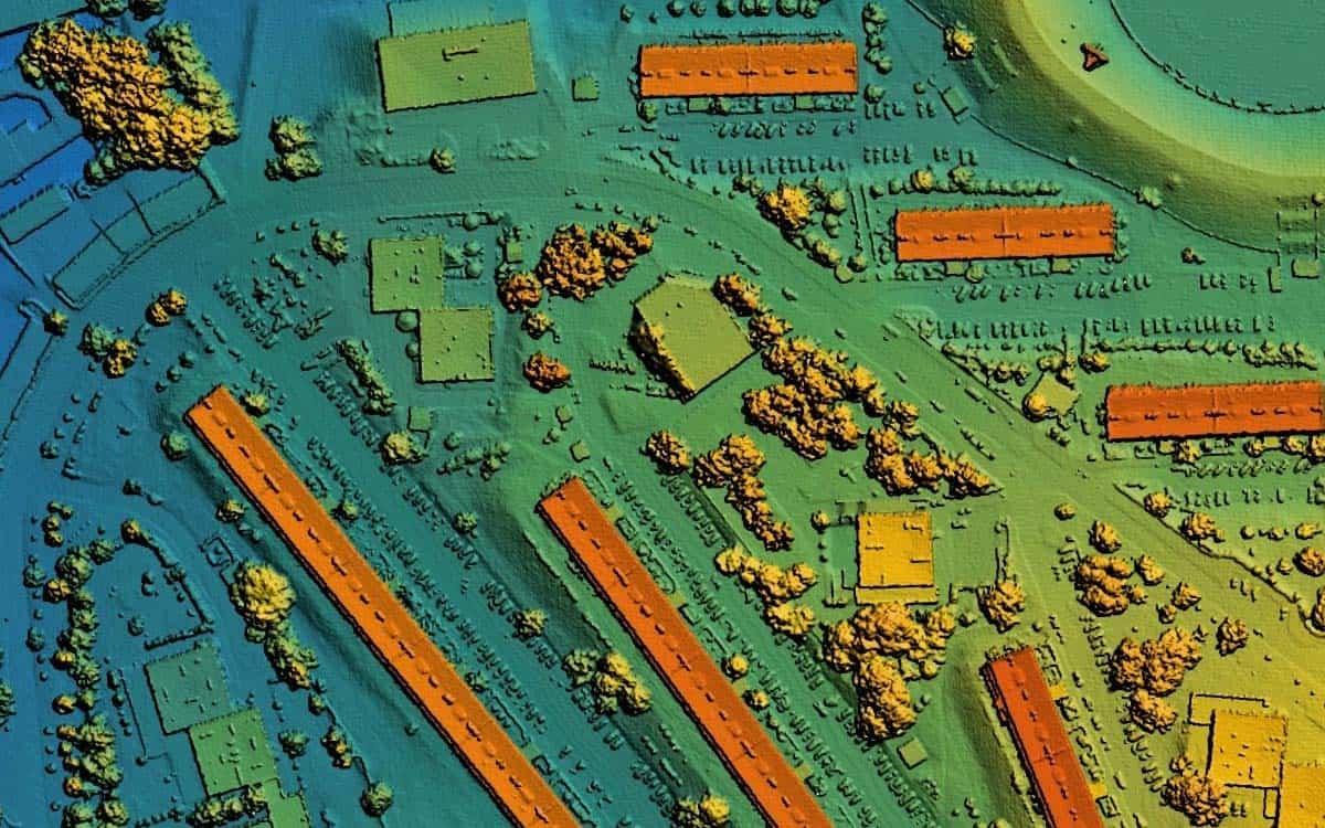
Discover the future of urban planning with LiDAR. Explore how it creates stunning 3D city models and empowers data-driven decisions.| FlyGuys
Read how reality data capture is crucial for the engineering industry. Learn how the technology enables 3D modeling.| FlyGuys
