Oriented Imagery, Integrated into ArcGIS
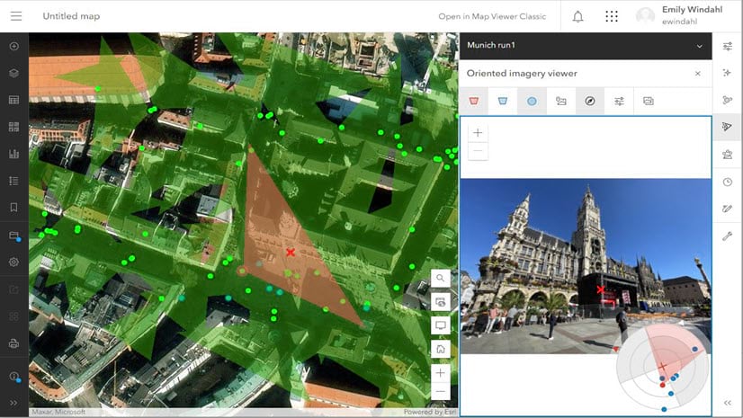
Oriented imagery, used to manage and visualize all kinds of imagery as part of your GIS, is being integrated into ArcGIS.| ArcGIS Blog
Oriented imagery, used to manage and visualize all kinds of imagery as part of your GIS, is being integrated into ArcGIS.| ArcGIS Blog
Python toolboxes are geoprocessing toolboxes created in Python.| pro.arcgis.com
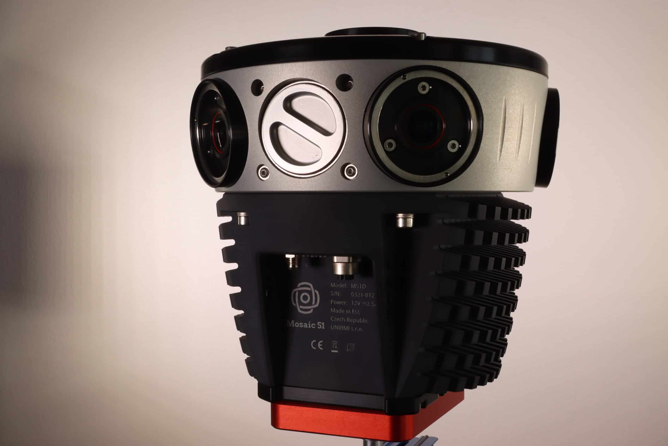
The Mosaic 51 camera, a panoramic mobile mapping camera, for the highest quality images in a single device. Onboard CPU/GPU, storage, & GNSS.| Mosaic51.com
