Maps From the White Mountains in Alaska to the Jupiter Inlet Lighthouse in Florida, map and geospatial products inform our management decisions. A growing selection of those maps are available for your public lands adventures and business. Explore BLM lands with the National Data map viewer: Other featured map products: BLM Recreation Opportunities Interactive Map Georeferenced PDF Maps BLM's Web App Gallery Frequently requested maps BLM Geospatial Program BLM Geospatial Business Platfo...| Bureau of Land Management
Traveling through bear habitat poses a special set of challenges for touring cyclists, especially if you’re primarily camping. While bears really aren’t interested in you, per se, they’re always on the […]| Adventure Cycling Association
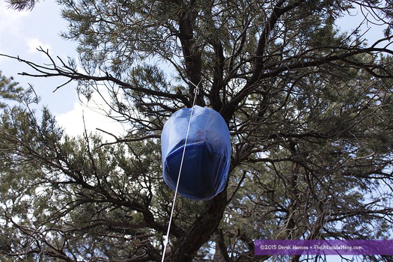
There are multiple techniques to hang a bear bag, but when I first learned the Pacific Crest Trail (PCT) method, it’s been my favorite option. The PCT method is actually pretty simple to set up, but is very effective to deter animals trying to get at your food. The PCT method uses a single rope that is tossed over a high, sturdy branch and is then clipped to the bear bag with a mini carabiner. The standing end of the rope is clipped back through the carabiner and then the bear bag is hoiste...| The Ultimate Hang