Drone Services for Surveyors & Mappers | Drone Data Collection
We offer drone data collection services for surveyors and mappers. Start saving time, money and resources today. Deployed nationwide.| FlyGuys
We offer drone data collection services for surveyors and mappers. Start saving time, money and resources today. Deployed nationwide.| FlyGuys
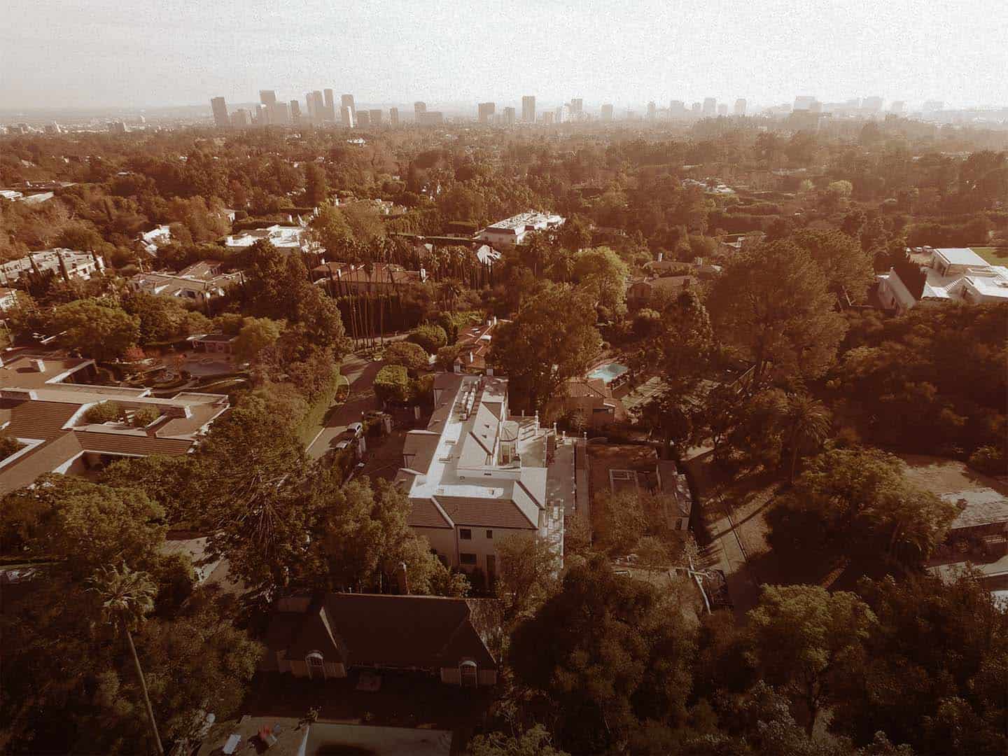
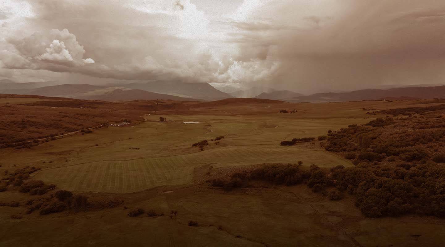
Aerial imaging helps gain new insights with thermal, infrared, and HD tools. Contact us for a free consultation.| FlyGuys
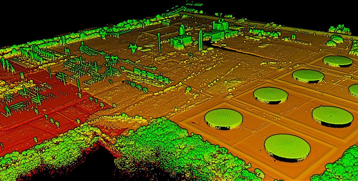
Using LiDAR, we offer commercial remote sensing services. With a vast network of pilots we scan unlimited acres. Contact Us Today!| FlyGuys