OGC, Khronos, Esri, Cesium, and Niantic are integrating 3D Gaussian Splats into glTF via new extensions and SPZ compression for interoperable, photorealistic geospatial data.| Open Geospatial Consortium
Explore how Alan Leidner’s 9/11 experience shaped global underground data standards and led to the creation of MUDDI with OGC.| Open Geospatial Consortium
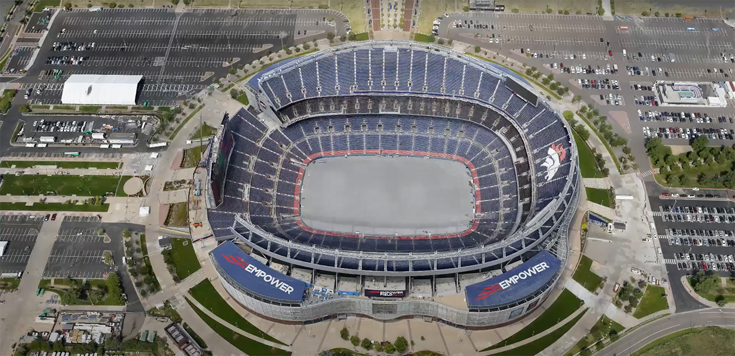
Discover how geospatial systems are evolving into smart, interconnected ecosystems—and why this shift is critical for data, resilience, and digital transformation.| Open Geospatial Consortium
Undersea cables carry 99% of internet traffic. Learn how OGC’s geospatial standards help protect this critical infrastructure from risks and disruptions.| Open Geospatial Consortium
Discover how the OGC Simple Features Standard enables seamless geospatial data exchange, powering navigation apps, smart cities, and disaster response systems.| Open Geospatial Consortium
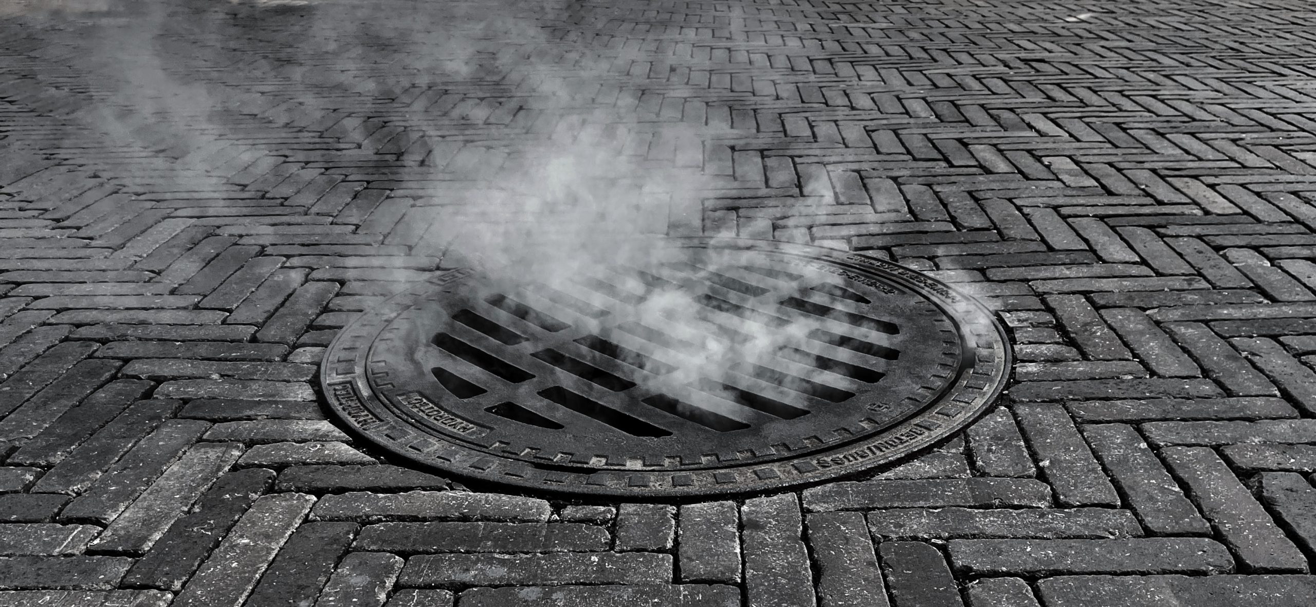
Discover how the MUDDI standard is transforming underground infrastructure data to build safer, smarter, and more resilient cities from the ground down.| Open Geospatial Consortium
Explore how GeoPose is driving geospatial standards adoption through key outreach events with W3C and Khronos, enabling open, XR-ready spatial web platforms.| Open Geospatial Consortium
Esri integrates Google’s Photorealistic 3D Tiles into ArcGIS, driving open standards, real-time data access, and innovation across industries worldwide.| Open Geospatial Consortium
Explore how OGC is enabling trusted, interoperable space data systems for a rapidly evolving space economy. Learn why alignment, AI, and open standards matter more than ever.| Open Geospatial Consortium