

A study published on ScienceDirect evaluates the capability of LLMs to mimic human-like decision-making patterns in parking scenarios. Through experiments, researchers reproduce realistic trade-offs between cost, distance, and availability, while reflecting sociodemographic influences and bounded rationality.| GIScience Blog
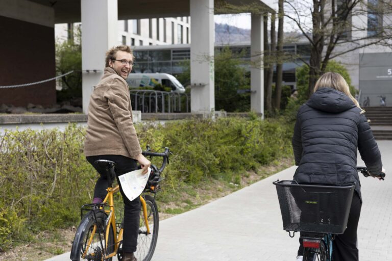
This year, the team from HeiGIT is once again participating in the nationwide cycling initiative STADTRADELN. For 21 days, teams across Germany collect bicycle kilometers, raising awareness for climate protection, sustainable mobility, and improved cycling infrastructure. The campaign promotes environmentally friendly transportation – not only in the everyday lives of the participants but also as a signal to policymakers to strengthen cycling infrastructure in cities.| GIScience Blog
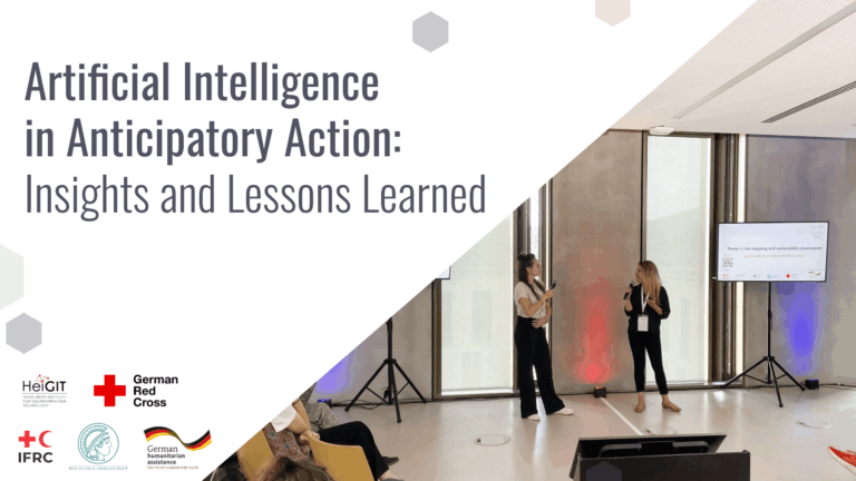
Artificial Intelligence holds great promise for strengthening Anticipatory Action by improving hazard forecasting, vulnerability mapping, and decision support, but must be tailored to real-world humanitarian contexts to really be of benefit. A recent workshop brought together practitioners, researchers, and tech experts to identify gaps, share learnings, and explore how AI can be responsibly and effectively integrated into anticipatory humanitarian efforts.| GIScience Blog
The Peruvanian Andes are among the world’s most impressive cultural landscapes of traditional terrace farming. The lecture explores these pre-Columbian terrace systems as long-term strategies for resource use and adaptation to semi-arid environmental conditions. The focus is on new geoarchaeological findings from the Laramate region (southern Peru), which provides insights into the construction, use and soil-ecological effects of pre-modern terrace systems. The results illustrate how local ...| GIScience Blog
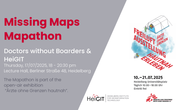
The lack of geographical data makes providing humanitarian aid more difficult. This is particularly the case in situations of disaster, when geographical data and routing data are crucial for coordinating help. In certain regions, however, this data still remains incomplete. During Mapathons, volunteers map these areas and provide the missing data.| GIScience Blog
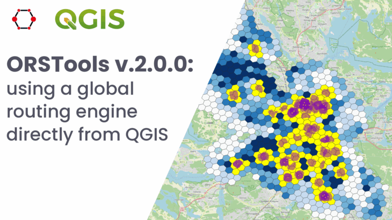
What is ORSTools?| GIScience Blog
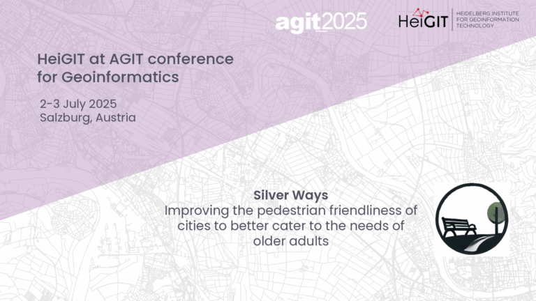
At the AGIT Conference, researchers, practitioners, and the industry experts talk about their papers on advancements, innovations, and applications in geoinformation and geospatial technologies. GIScience HeiGIT will present a paper about Silver Ways, a project to develop an empirically informed and validated routing system for older people. We will explore the process of developing the routing mechanism and demonstrate how our findings can inform urban policy and planning improvements in col...| GIScience Blog
The diverse geomorphological and geological conditions of Southeast Asia with its wide river deltas, karst landscapes and highlands have a lasting impact on social development and land use in Vietnam. As a result of anthropogenic climate change, the country is subject to strong processes of change and an increased risk of natural disasters. Climate shifts and changing environmental conditions can be reconstructed in paleoarchives over thousands of years. Beyond climate and geology, historical...| GIScience Blog
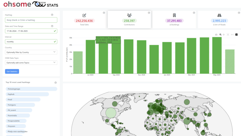
The enhanced ohsomeNow Stats dashboard now provides near real-time access to all OpenStreetMap contributions since 2005, enabling more flexible and detailed analysis of global mapping activities.| GIScience Blog
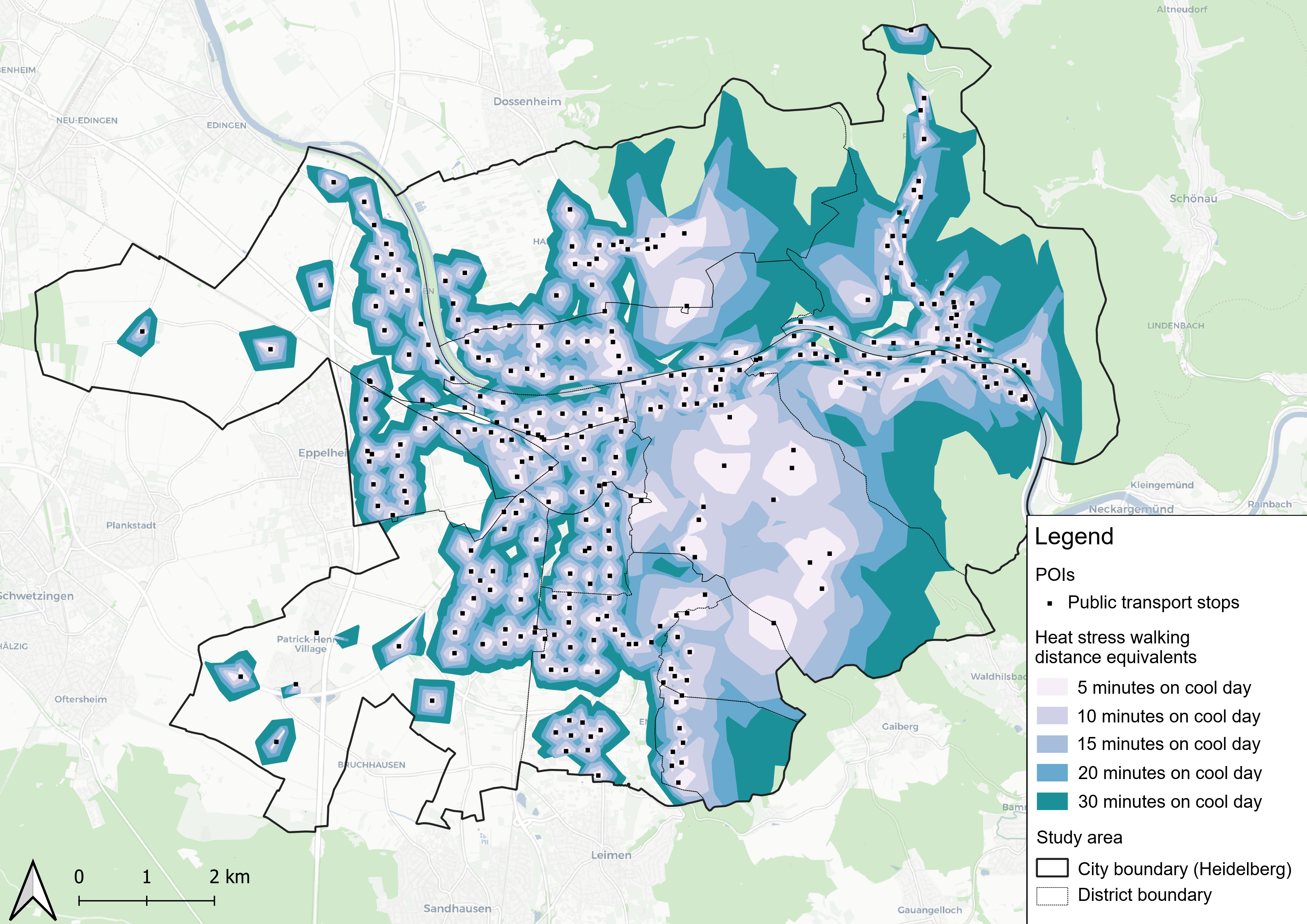
This study introduces the isocalor approach to assess how solar exposure and heat stress impact pedestrian access to essential services in Heidelberg, using OpenStreetMap data and a customized openrouteservice routing engine.| GIScience Blog
Students of the Institute of Geography at Heidelberg University explored local perceptions of urban heat in Heidelberg’s old town as part of a 2024 seminar on GIS for Disaster Risk Reduction and Humanitarian Aid. The project, supported by Heidelberg Institute for Geoinformation Technology (HeiGIT), tested participatory mapping using the Sketch Map Tool combined with KoboToolbox. | GIScience Blog