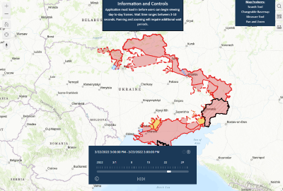
Interactive Time-lapse: Russia's War in Ukraine
This interactive time-lapse complements static control-of-terrain maps that ISW produces by showing a dynamic frontline.| ArcGIS StoryMaps
This interactive time-lapse complements static control-of-terrain maps that ISW produces by showing a dynamic frontline.| ArcGIS StoryMaps
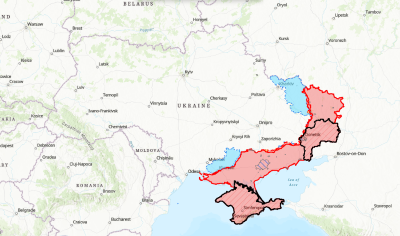
This interactive map complements the static control-of-terrain maps that ISW daily produces with high-fidelity.| ArcGIS StoryMaps
