The newest release of BGS BritPits provides information on an additional 6500 surface and underground mineral workings.| British Geological Survey
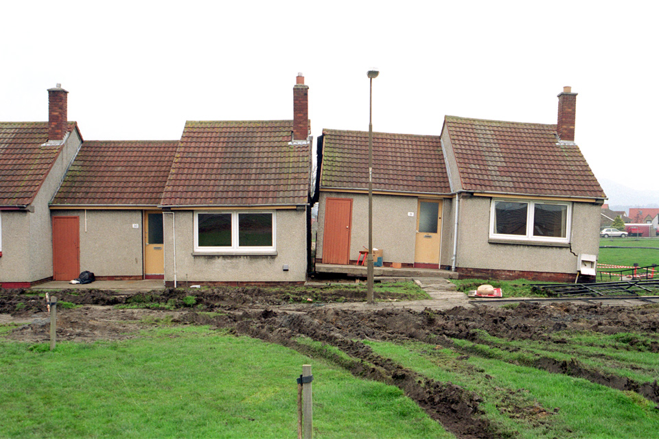
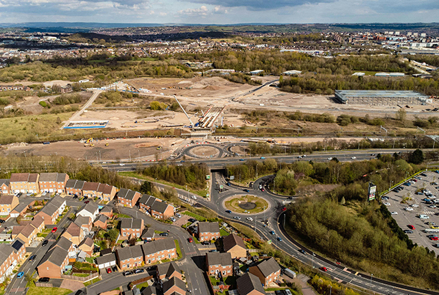
BGS is seeking user feedback on artificial ground data – how you use it, what information do you consider, and what we can do to improve our services.| British Geological Survey
BGS deliver the first marine geology and habitat maps for one of the World’s largest marine protected areas.| British Geological Survey
From sinkholes to radon: new maps highlight Britain's most geologically at-risk regions| British Geological Survey
BGS is part of a groundbreaking science partnership aiming to improve critical minerals mining and supply chains.| British Geological Survey
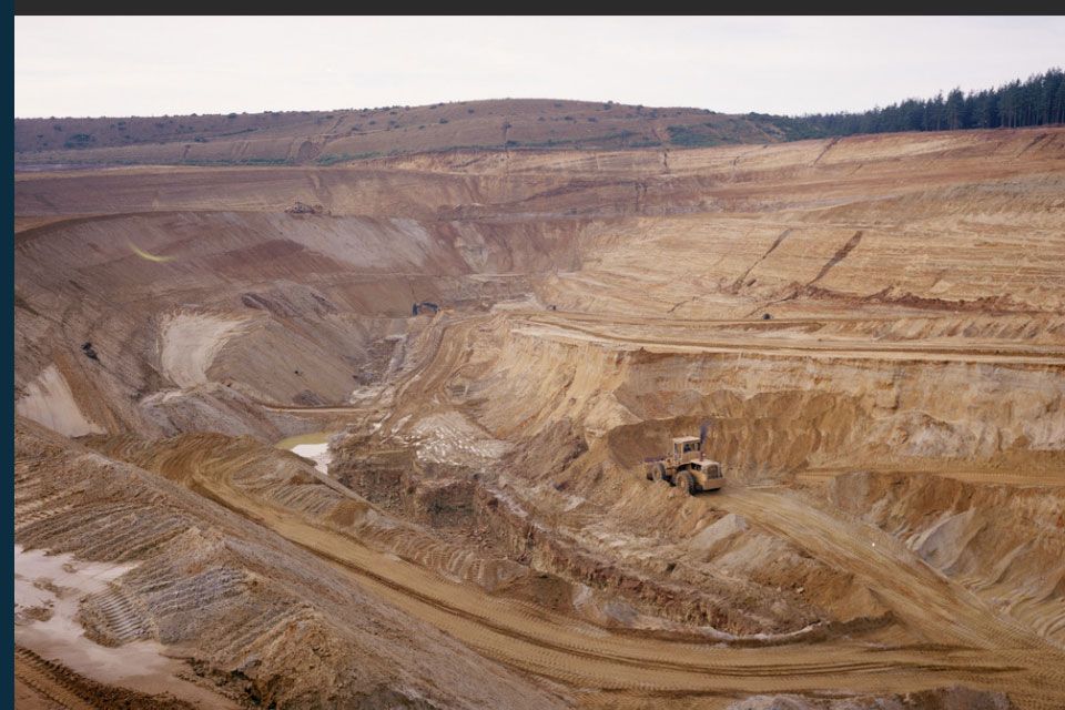
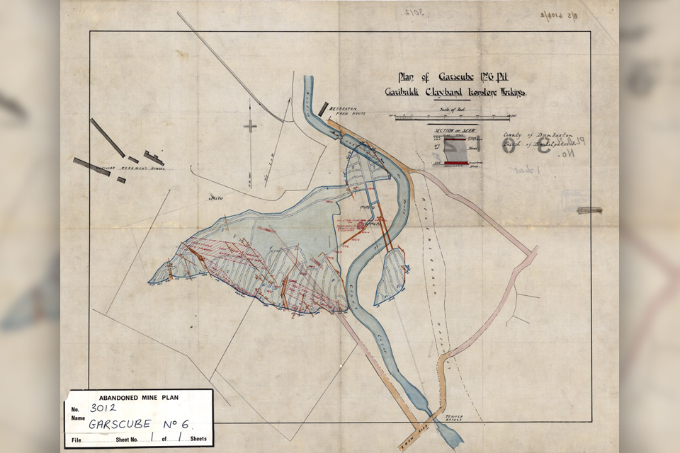
Digital scans of over 500 historical abandoned mine plans (non-coal) have been released by the National Geoscience Data Centre (NGDC)| British Geological Survey
BGS are seeking user feedback on our geological map digital datasets to improve data content and delivery.| British Geological Survey
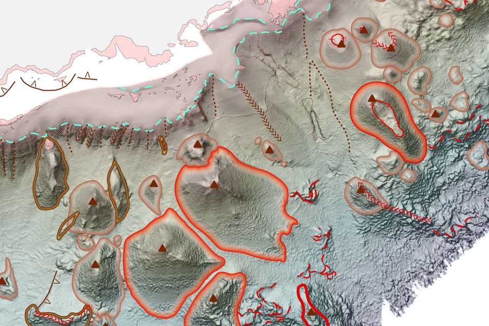
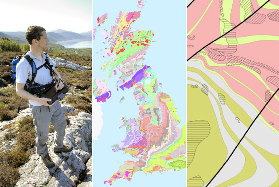
Geology doesn’t stop at international borders, so BGS is working with neighbouring geological surveys and research institutes to solve common problems with the geology they share.| British Geological Survey
The partnership will focus on research on multi-hazard preparedness within the country.| British Geological Survey