
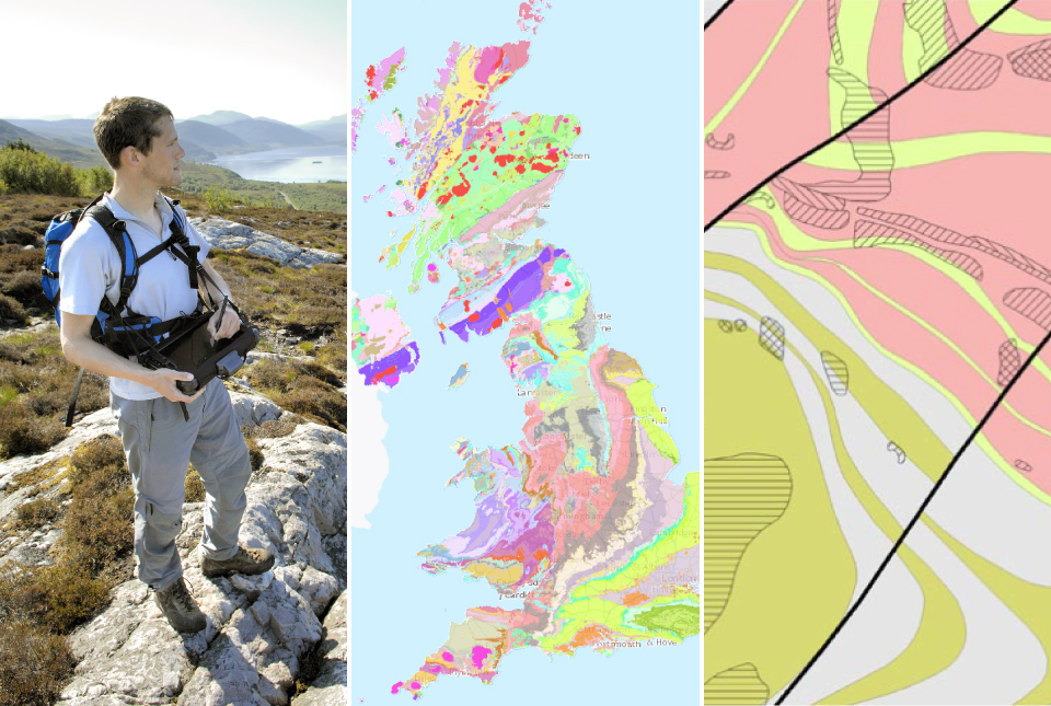
New BGS GeoIndex viewer released for user testing - British Geological Survey
The premium map-viewing application has been given a major upgrade and made available as a beta release.| British Geological Survey
BGS has released significantly extended high-resolution maps that will support offshore green-energy initiatives in the area. The post Extended seabed geology map of the Bristol Channel published appeared first on British Geological Survey.| British Geological Survey
The premium map-viewing application has been given a major upgrade and made available as a beta release.| British Geological Survey
Andi Smith (BGS) and Savannah Worne (Loughborough University) embarked on fieldwork in the Lake District, applying a novel stable isotope method for tracing phosphorus sources. The post Esthwaite Water: applying novel approaches to understand lake-water nutrient pollution appeared first on British Geological Survey.| British Geological Survey
A new tool is now available which has been designed for coastal engineers and practitioners to better manage the compound risk of coastal erosion and flooding.| British Geological Survey
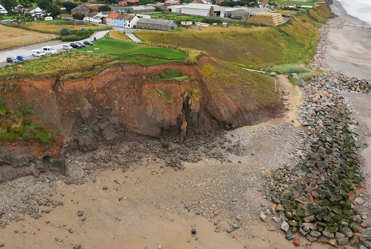
A new tool is now available which has been designed for coastal engineers and practitioners to better manage the compound risk of coastal erosion and flooding.| British Geological Survey

Marine ecosystem science and offshore infrastructure will be boosted by a new dataset showing sediment composition across the UK continental shelf.| British Geological Survey
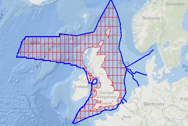
The offshore GeoIndex shows the range of marine geoscience data held by the BGS within the National Geoscience Data Centre (NGDC).| British Geological Survey
BGS is seeking user feedback on artificial ground data – how you use it, what information do you consider, and what we can do to improve our services.| British Geological Survey
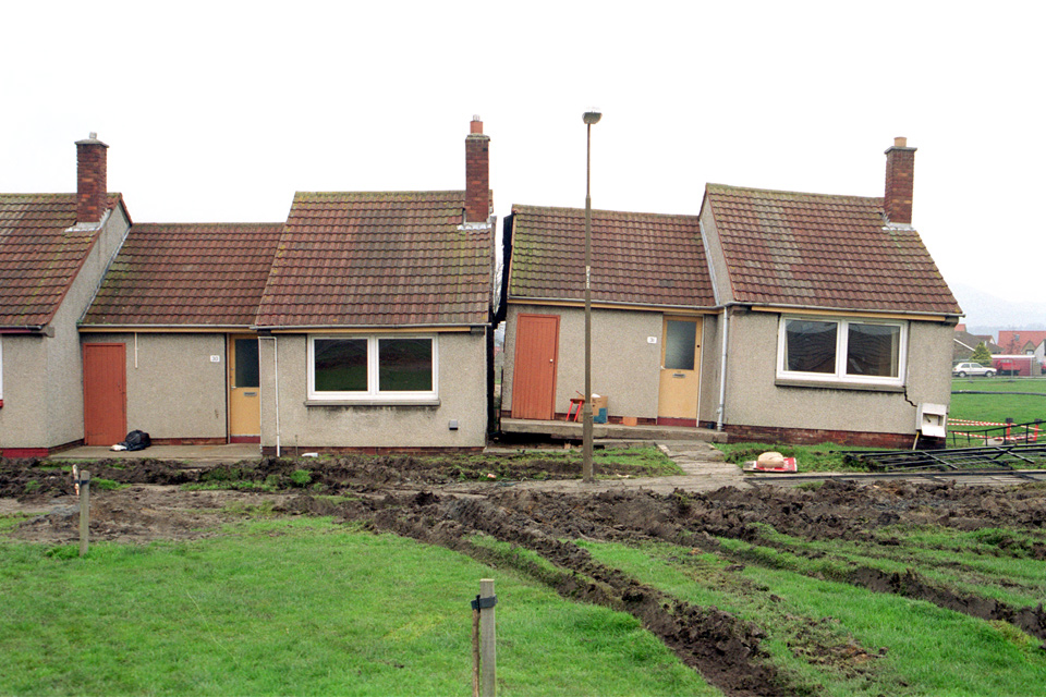
From sinkholes to radon: new maps highlight Britain's most geologically at-risk regions| British Geological Survey

For the first time scientists managed to take water and sediment samples from beneath the ocean on the New England Shelf with the intention of understanding this offshore aquifer system.| British Geological Survey
BGS are seeking user feedback on our geological map digital datasets to improve data content and delivery.| British Geological Survey
Geology doesn’t stop at international borders, so BGS is working with neighbouring geological surveys and research institutes to solve common problems with the geology they share.| British Geological Survey
BGS blogs| British Geological Survey
35 results for "maps and models"| British Geological Survey
44 results for "lyell centre"| British Geological Survey
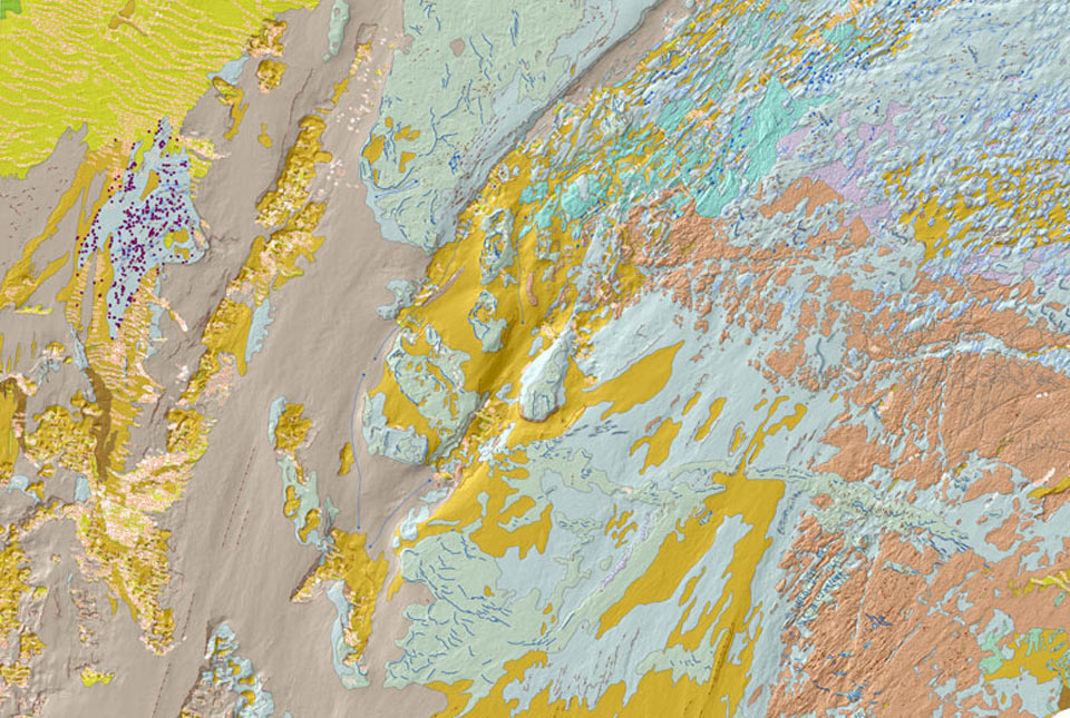
A Seabed Geology mapping programme on the UK’s continental shelf, detailing the Substrate Geology, Structural Geology and Seabed Geomorphology.| British Geological Survey
48 results for "digital data"| British Geological Survey
