
New BGS GeoIndex viewer released for user testing - British Geological Survey
The premium map-viewing application has been given a major upgrade and made available as a beta release.| British Geological Survey
The premium map-viewing application has been given a major upgrade and made available as a beta release.| British Geological Survey
17 results for "digital geoscience"| British Geological Survey
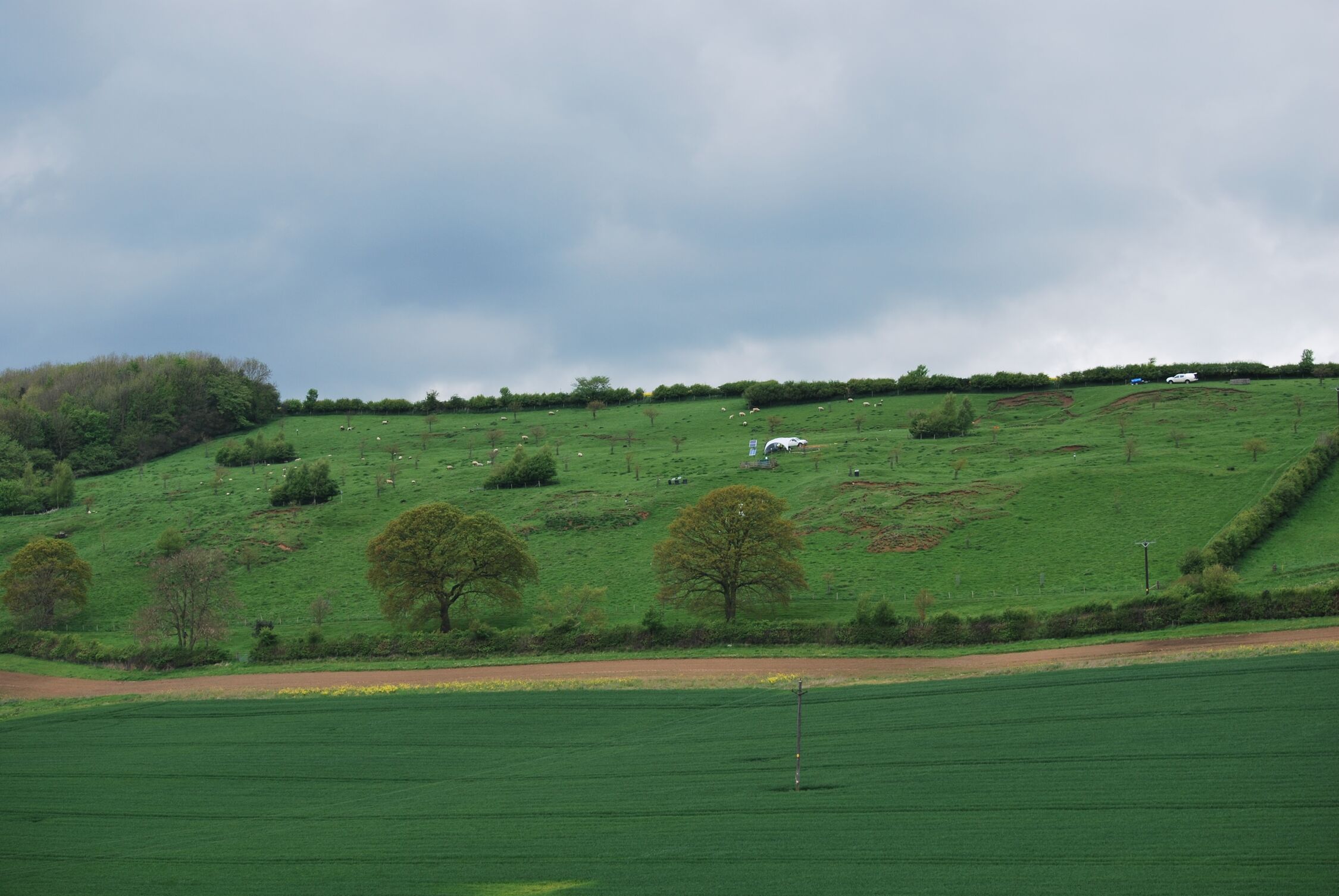
BGS is seeking user feedback on artificial ground data – how you use it, what information do you consider, and what we can do to improve our services.| British Geological Survey
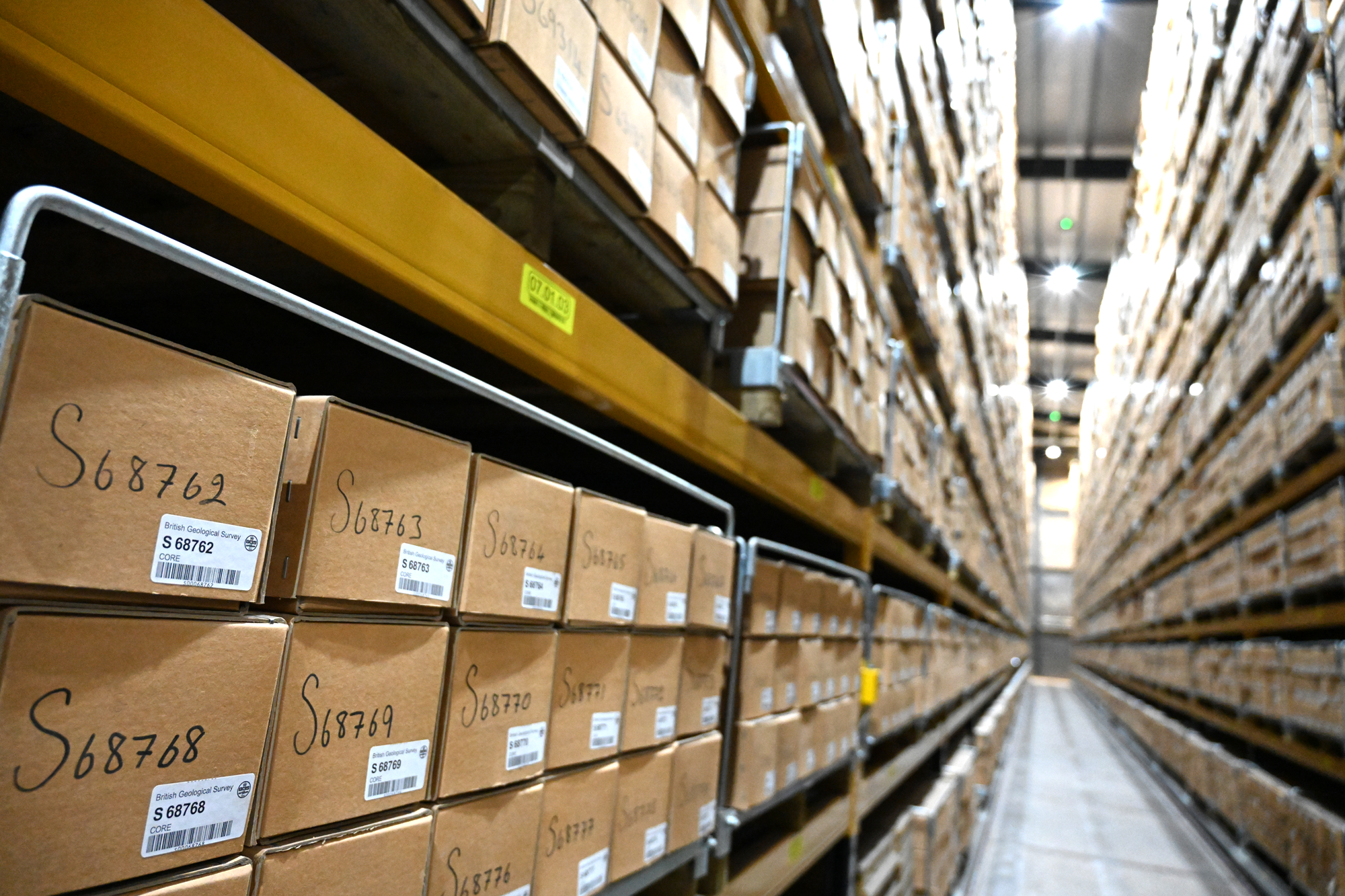
With space at a premium and the advance of new digitisation techniques, why does retaining over 600 km of physical specimens remain of national importance?| British Geological Survey

Marine ecosystem science and offshore infrastructure will be boosted by a new dataset showing sediment composition across the UK continental shelf.| British Geological Survey

20 years of evidence from earthquake monitoring proves the Britpop legends are the most ‘ground shaking’ musical act to perform at Murrayfield Stadium| British Geological Survey

From tsunamis to sinkholes, the profiles provide a standardised, internationally agreed definition of hazards to support disaster risk management worldwide.| British Geological Survey
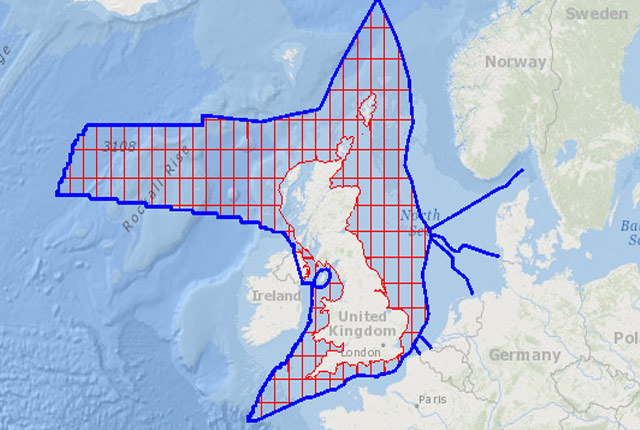
The offshore GeoIndex shows the range of marine geoscience data held by the BGS within the National Geoscience Data Centre (NGDC).| British Geological Survey
BGS is seeking user feedback on artificial ground data – how you use it, what information do you consider, and what we can do to improve our services.| British Geological Survey
BGS blogs| British Geological Survey
35 results for "maps and models"| British Geological Survey
50 results for "digital data"| British Geological Survey
