Thanks to the newest addition to the Climate Action Navigator, it is now possible to calculate the remaining CO₂ budget for several German cities (Berlin, Bonn, Hamburg, Heidelberg, and Karlsruhe) to stay within certain global warming limits (e.g. +1,5°C). The CO₂ Budget assessment tool also tracks if the city is on the right track to […]| HeiGIT
Together with the German Federal Agency for Cartography and Geodesy (BKG) we released a new version of the ohsome dashboard, introducing a new indicator for assessing the thematic accuracy of land cover data in OpenStreetMap (OSM). This development is part of a broader project together with BKG on OSM data quality evaluation. New indicator: Thematic […]| HeiGIT
The ENHANCE project explores how 15-minute city principles can be applied beyond dense urban hubs, using mapping, behavioral research, and simulation tools to design more sustainable and inclusive mobility systems. The ENHANCE project, funded by Driving Urban Transitions to a Sustainable Future (DUT) under JPI Urban Europe, addresses the challenges of implementing 15-minute city (15mC) […]| HeiGIT
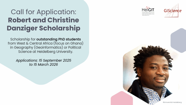
The Robert and Christine Danziger Scholarship supports outstanding doctoral students from West and Central Africa (with particular emphasis on applicants from Ghana), who intend to pursue a doctoral degree in Geography (specializing in Geoinformatics) or Political Science at Heidelberg University. Applicants are expected to be in the process of applying for a doctoral position at Heidelberg University and to be among the best in their research field.| HeiGIT
This study develops a framework integrating satellite observations with spatial proxy data to produce high-resolution urban carbon emission maps. The method is applied to Urumqi, China, demonstrating accurate and timely estimations compared with traditional inventories. Reducing carbon emissions is a global priority, but conventional inventory methods based on administrative statistics fail to capture fine-scale spatial […]| HeiGIT