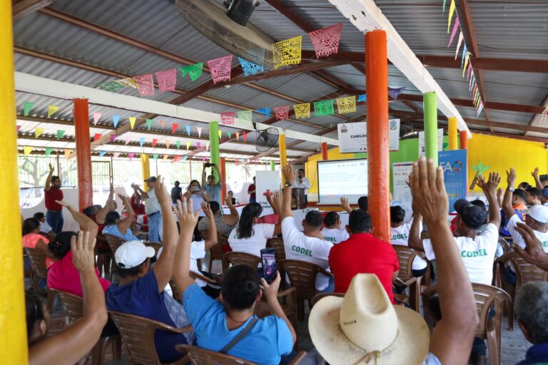
As part of our ongoing work in Anticipatory Action, a QGIS plugin for risk assessments was developed with the goal of enabling local actors to carry out risk assessments independently and reliably. The tool builds on HeiGIT’s broader efforts to support community resilience by making geoinformation technology more accessible to practitioners in diverse operational contexts.| GIScience Blog
The Sketch Map Tool was used in a joint effort between the Honduran Red Cross and the municipal government to update the municipal response plan and develop an annex focused on anticipatory actions. Participants were asked to map local knowledge about areas affected by flooding and critical infrastructure.| GIScience Blog
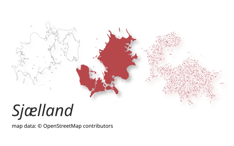
A new version of ohsome-planet (codename “Sjælland”) has been released. It is the newest version of HeiGIT´s command line tool, which transforms OpenStreetMap (history) PBF files into into an analysis-ready data format. We illustrate what ohsome-planet can do by assessing how many OSM edits used Bing Imagery as reference source.| GIScience Blog
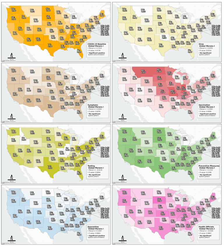
Searching for early warning systems during the COVID-19 pandemic, the researchers explored how digital data sources such as geo-social media (e.g. posts on platforms like X, formerly Twitter, that include location data) could improve the disease’s transmission dynamics. This data offers a valuable tool for local event detection.| GIScience Blog
A study published on ScienceDirect evaluates the capability of LLMs to mimic human-like decision-making patterns in parking scenarios. Through experiments, researchers reproduce realistic trade-offs between cost, distance, and availability, while reflecting sociodemographic influences and bounded rationality.| GIScience Blog
This year, the team from HeiGIT is once again participating in the nationwide cycling initiative STADTRADELN. For 21 days, teams across Germany collect bicycle kilometers, raising awareness for climate protection, sustainable mobility, and improved cycling infrastructure. The campaign promotes environmentally friendly transportation – not only in the everyday lives of the participants but also as a signal to policymakers to strengthen cycling infrastructure in cities.| GIScience Blog
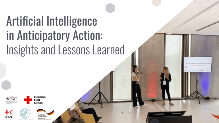
Artificial Intelligence holds great promise for strengthening Anticipatory Action by improving hazard forecasting, vulnerability mapping, and decision support, but must be tailored to real-world humanitarian contexts to really be of benefit. A recent workshop brought together practitioners, researchers, and tech experts to identify gaps, share learnings, and explore how AI can be responsibly and effectively integrated into anticipatory humanitarian efforts.| GIScience Blog