
OpenCage Geocoding API Software Libraries and SDKs
Code libraries / SDKs in over 30 different programming languages to help you quickly get started with using the OpenCage Geocoding API| opencagedata.com
Code libraries / SDKs in over 30 different programming languages to help you quickly get started with using the OpenCage Geocoding API| opencagedata.com
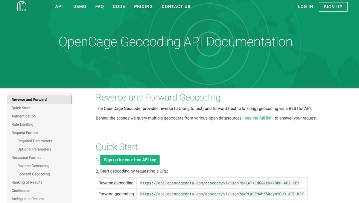
Full documentation and reference for the OpenCage Geocoding API for forward and reverse geocoding: formats, parameters, response codes, best practices, etc.| opencagedata.com
There are multiple cases where there is dispute over exact boundary. Sometimes it escalates into outright wars (in which case border mapping is typically suspended, OSM is not making daily updates to borders as armies move ) but there are many cases where conflict is frozen and stable. Sometimes territory is occupied/controlled/administered for longer or shorter term by one country while another claims that area as its territory. | wiki.openstreetmap.org
