
Why Certified Surveyors Are Still Essential in the Age of Drone Surveying | FlyGuys
Learn how drone services and certified surveyors work together for accuracy and compliance.| FlyGuys
Learn how drone services and certified surveyors work together for accuracy and compliance.| FlyGuys

Learn how reality data capture enhances disaster preparedness with 3D models for risk assessment, scenario planning, infrastructure monitoring.| FlyGuys
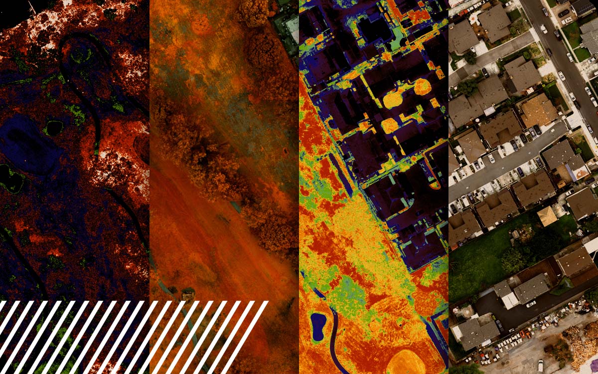
Explore the power of multispectral imaging in agriculture. Enhance crop health, disease prevention, and resource management.| FlyGuys
