
New BGS GeoIndex viewer released for user testing - British Geological Survey
The premium map-viewing application has been given a major upgrade and made available as a beta release.| British Geological Survey
The premium map-viewing application has been given a major upgrade and made available as a beta release.| British Geological Survey
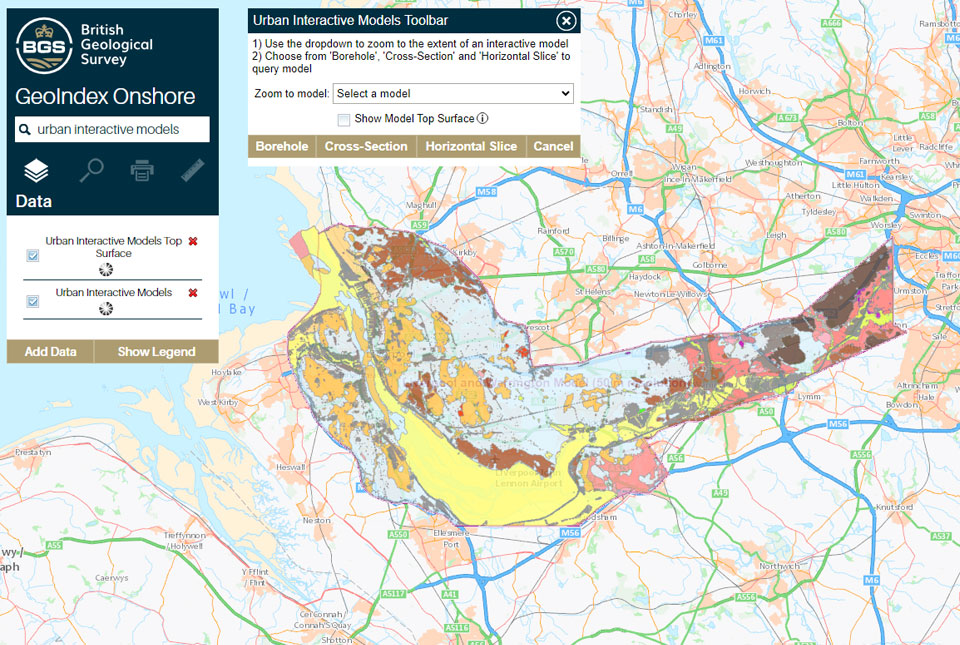
The geological secrets lying under the surface of Liverpool and Warrington have been unveiled for the first time on a new 3D interactive tool.| British Geological Survey

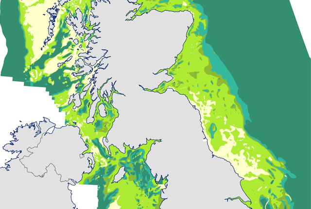
Marine ecosystem science and offshore infrastructure will be boosted by a new dataset showing sediment composition across the UK continental shelf.| British Geological Survey
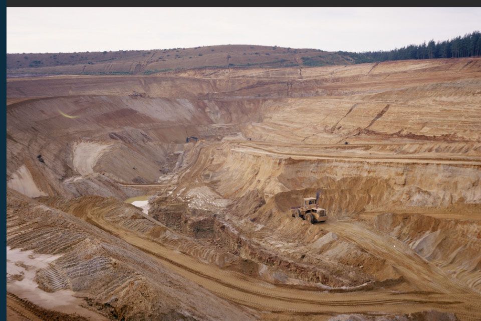
The newest release of BGS BritPits provides information on an additional 6500 surface and underground mineral workings.| British Geological Survey

In the GeoCoast launch webinar, you will gain insights into the content of the data and why it is important to understand the natural geological conditions, and learn more about our development of coastal erosion data and its potential uses.| British Geological Survey
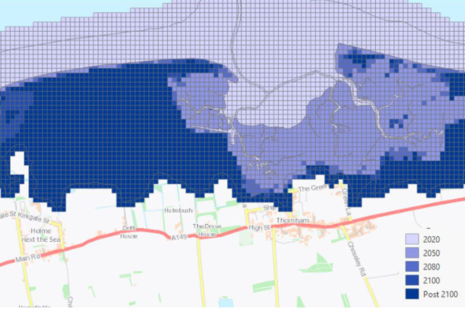
GeoCoast is an integrated GIS package of datasets designed to inform and support coastal management and adaptation.| British Geological Survey
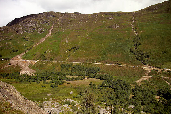
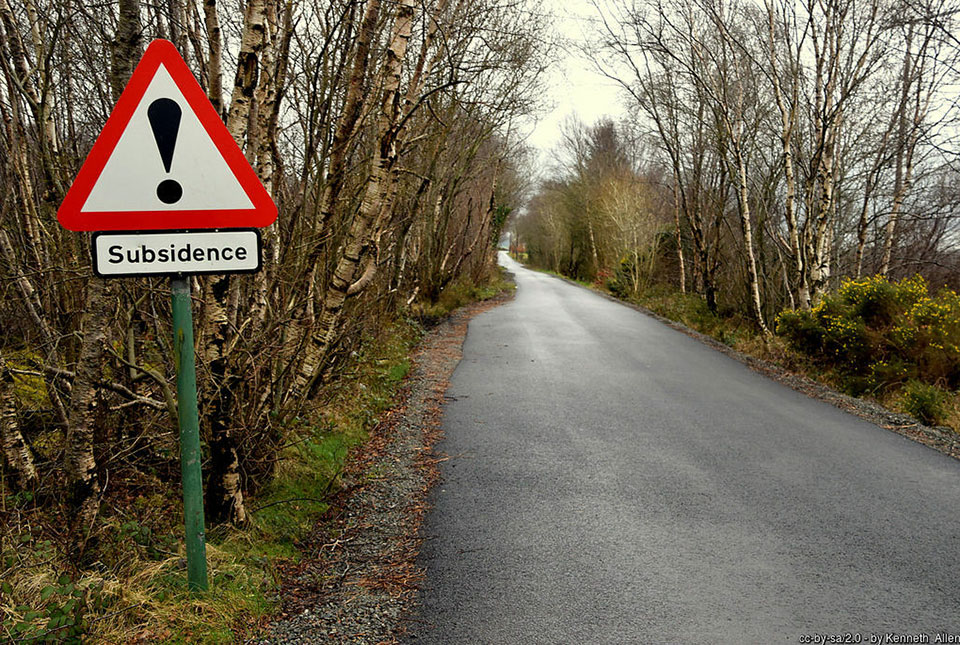
Debris flows are a landslide hazard of particular concern to transport infrastructure managers and local authorities.| British Geological Survey
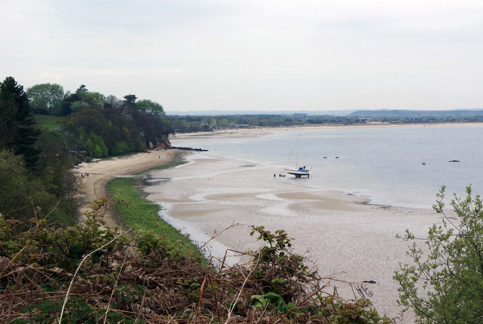
We explore how parts of the British coastline are changing and what important factors we should consider in terms of natural hazards, adaptation and resilience.| British Geological Survey

BGS GeoCoast is an integrated GIS package of datasets designed to inform and support coastal management and adaptation.| British Geological Survey

BGS GeoCoast is a package of geospatial datasets designed to provide information on the geological conditions and constraints around the coastline of Britain.| British Geological Survey
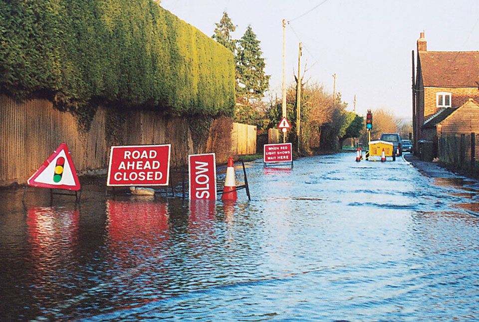
Groundwater flooding accounts for an estimated £530 million in damages per year; geoscientific data can help to minimise its impact.| British Geological Survey
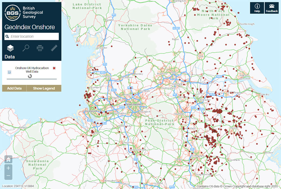
Data from deep onshore hydrocarbon wells is being released on an open access basis to help meet the UK’s net zero targets.| British Geological Survey
BGS and The Crown Estate are seeking stakeholder feedback in order to improve understanding of national-scale seabed geology requirements| British Geological Survey
Climate change is increasingly recognised as a major challenge for organisations, with the need for adaptation.| British Geological Survey
Ordnance Survey and BGS have teamed up to add a range of geological data products to the OS Data Hub| British Geological Survey
