Industry-leading data sharing partnership announced - British Geological Survey
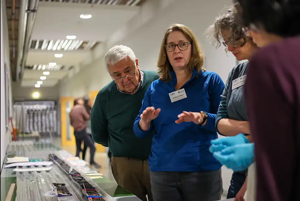
A data sharing partnership has been agreed between BGS and Ossian, to advance its knowledge of the rock and soil conditions under the seabed.| British Geological Survey
A data sharing partnership has been agreed between BGS and Ossian, to advance its knowledge of the rock and soil conditions under the seabed.| British Geological Survey
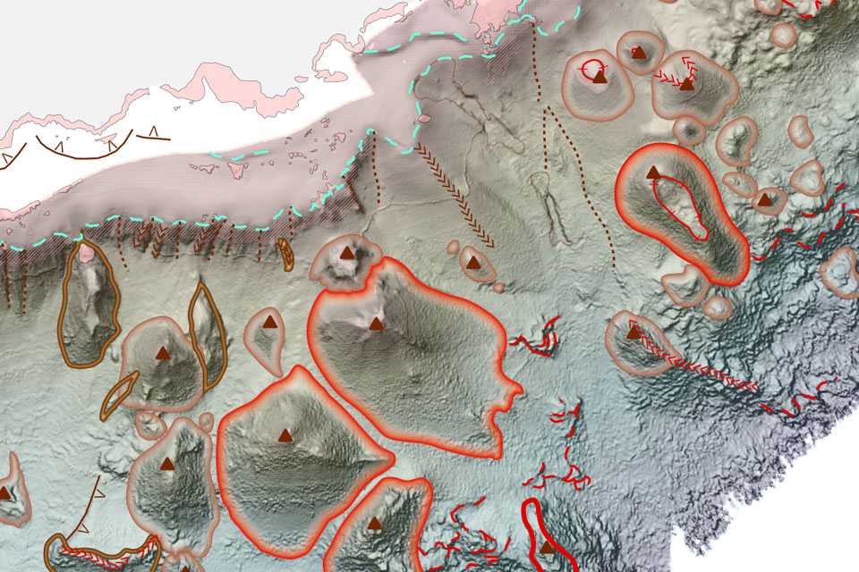
BGS deliver the first marine geology and habitat maps for one of the World’s largest marine protected areas.| British Geological Survey

For the first time scientists managed to take water and sediment samples from beneath the ocean on the New England Shelf with the intention of understanding this offshore aquifer system.| British Geological Survey
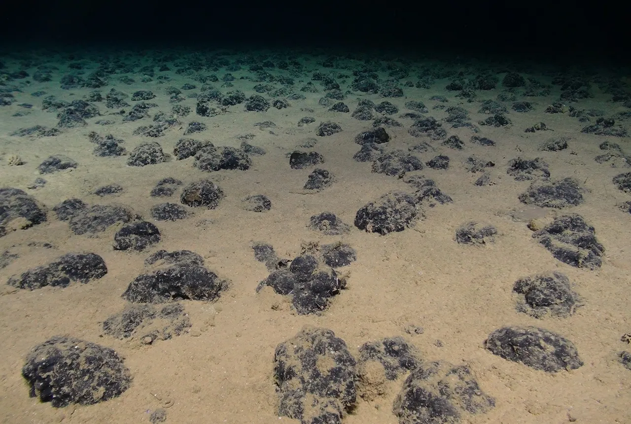
BGS geologists were involved in new study revealing the long-term effects of seabed mining tracks, 44 years after deep-sea trials in the Pacific Ocean.| British Geological Survey
BGS scientists join latest IODP research project investigating freshened water under the ocean floor| British Geological Survey
An international team of researchers, including BGS geoscientists, have succeeded in acquiring a continuous record of environmental data using fossilised coral from Hawai’i.| British Geological Survey
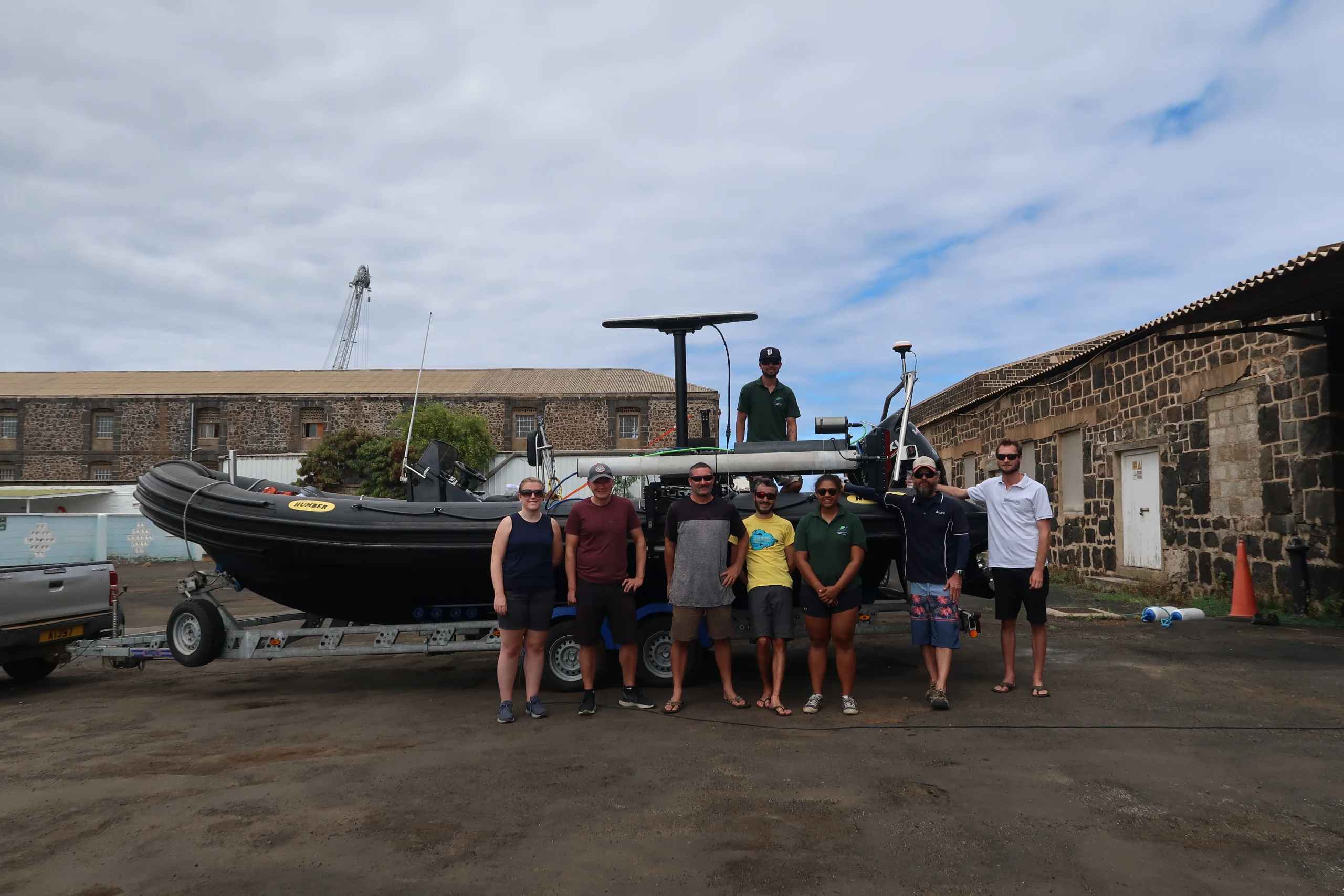
A photo blog by members of the BGS Marine Survey team, who recently completed marine surveys around Ascension Island in the South Atlantic Ocean.| British Geological Survey
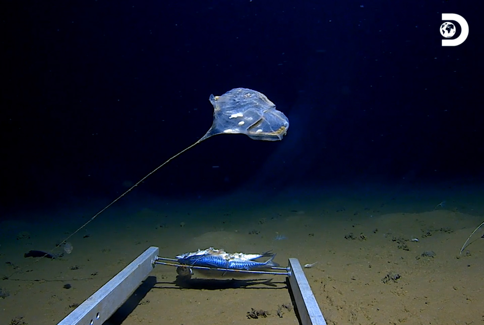
New technology has enabled marine scientists to capture some of the world’s first images of previously unexplored habitats in the deepest point of the Indian Ocean.| British Geological Survey
Experts from the BGS marine team are part of a major international marine research collaboration to understand more about earthquakes associated with the Japan Trench.| British Geological Survey
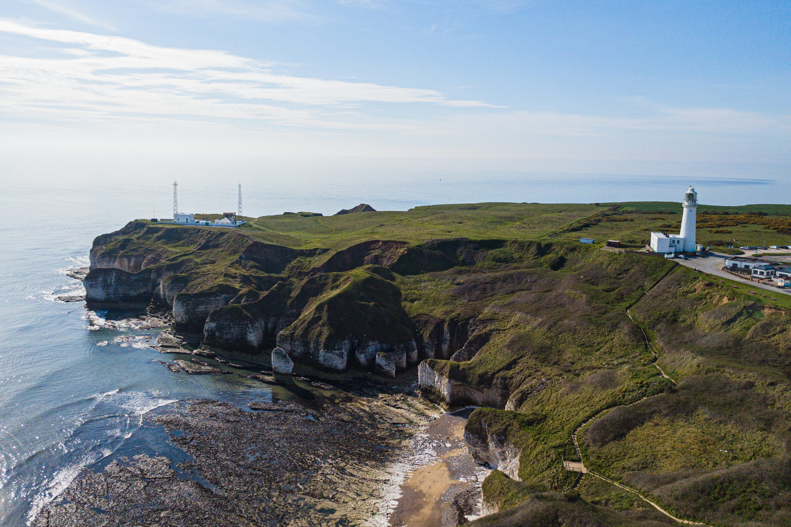
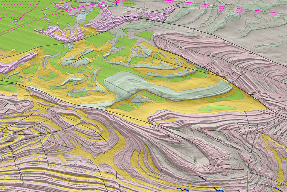
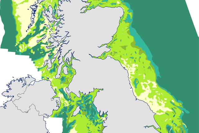
Offshore Yorkshire is the latest map to be released in BGS's series of fine-scale digital seabed maps.| British Geological Survey
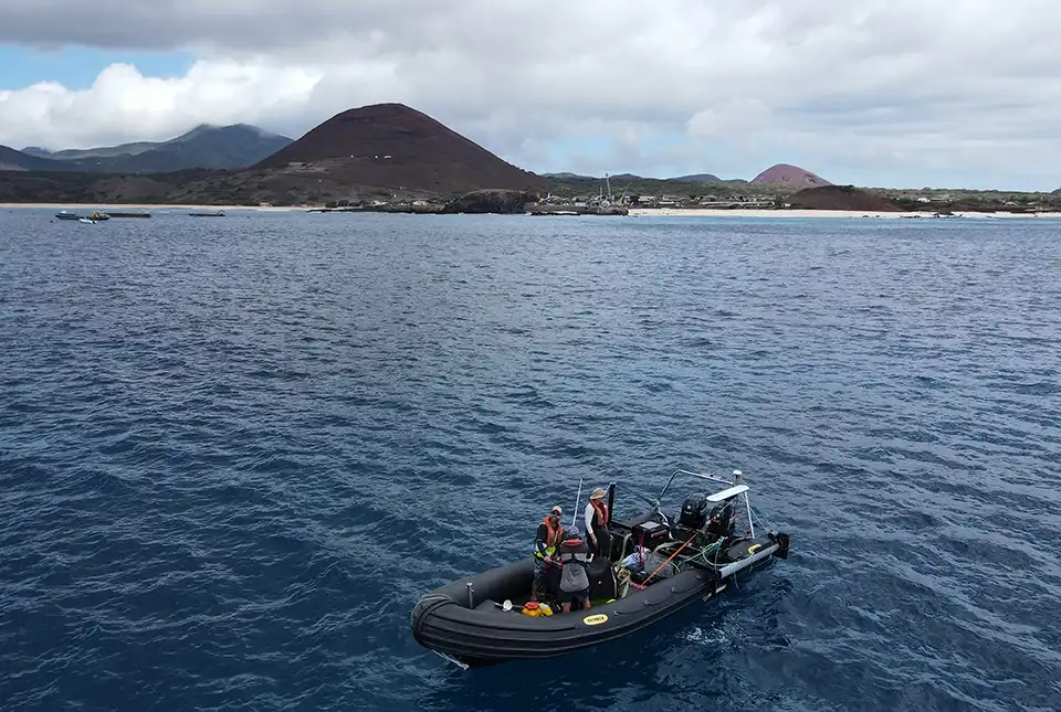
BGS marine geoscientists travelled to Ascension Island to support its government with an ongoing, conservation-driven mapping programme.| British Geological Survey
BGS and The Crown Estate are seeking stakeholder feedback in order to improve understanding of national-scale seabed geology requirements| British Geological Survey
37 results for "marine geoscience"| British Geological Survey
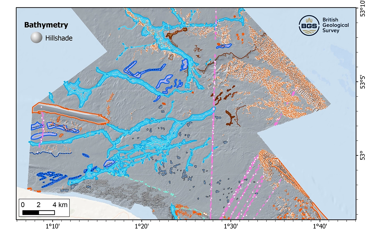
New geological map will help in the hunt for new renewable energy opportunities whilst protecting delicate marine ecosystems.| British Geological Survey
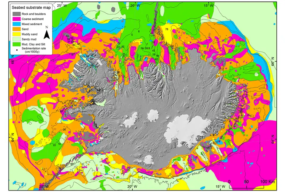
BGS has been awarded the NERC-Arctic grant for a collaboration project with the Iceland GeoSurvey.| British Geological Survey
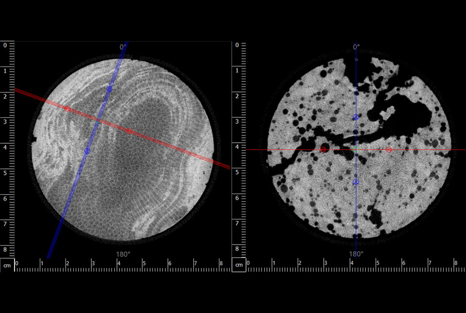
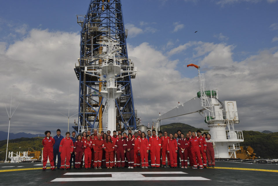
BGS has completed its largest CT core scan project to-date, with around 400 metres of core imaged for the IODP Drowned Reefs project.| British Geological Survey