Industry-leading data sharing partnership announced - British Geological Survey
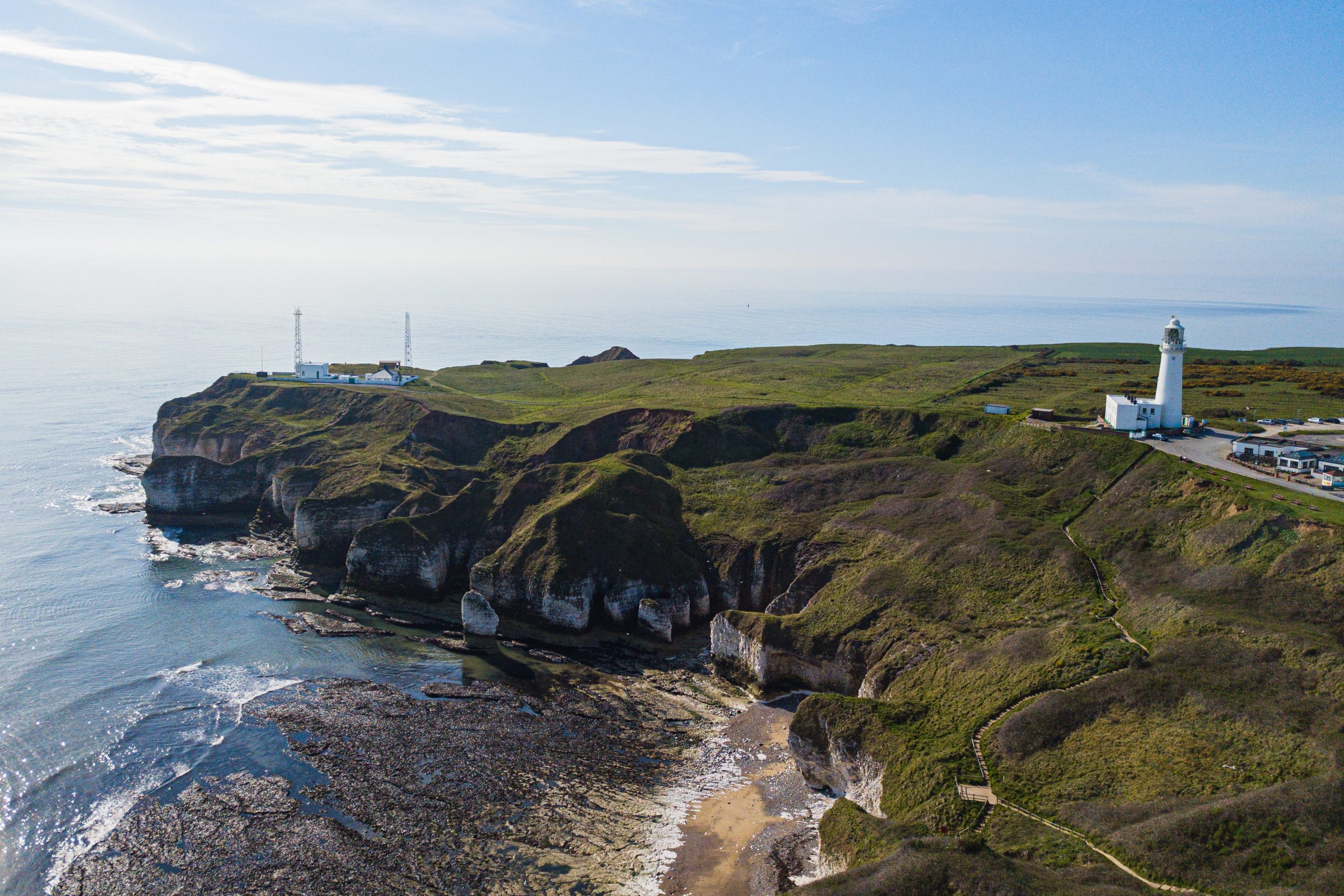
A data sharing partnership has been agreed between BGS and Ossian, to advance its knowledge of the rock and soil conditions under the seabed.| British Geological Survey
A data sharing partnership has been agreed between BGS and Ossian, to advance its knowledge of the rock and soil conditions under the seabed.| British Geological Survey

For the first time scientists managed to take water and sediment samples from beneath the ocean on the New England Shelf with the intention of understanding this offshore aquifer system.| British Geological Survey
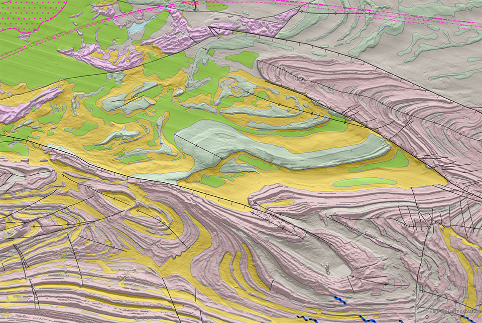
Offshore Yorkshire is the latest map to be released in BGS's series of fine-scale digital seabed maps.| British Geological Survey
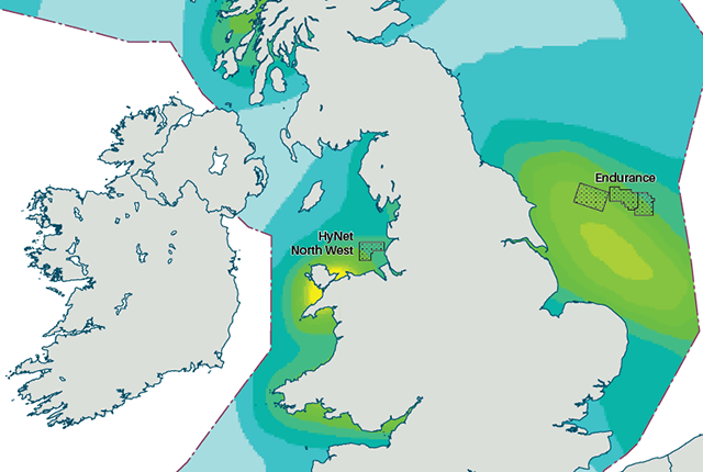
An essential geological model detailing seismic hazard has been published as pursuit of new renewable energy infrastructure intensifies.| British Geological Survey
14 results for "offshore"| British Geological Survey
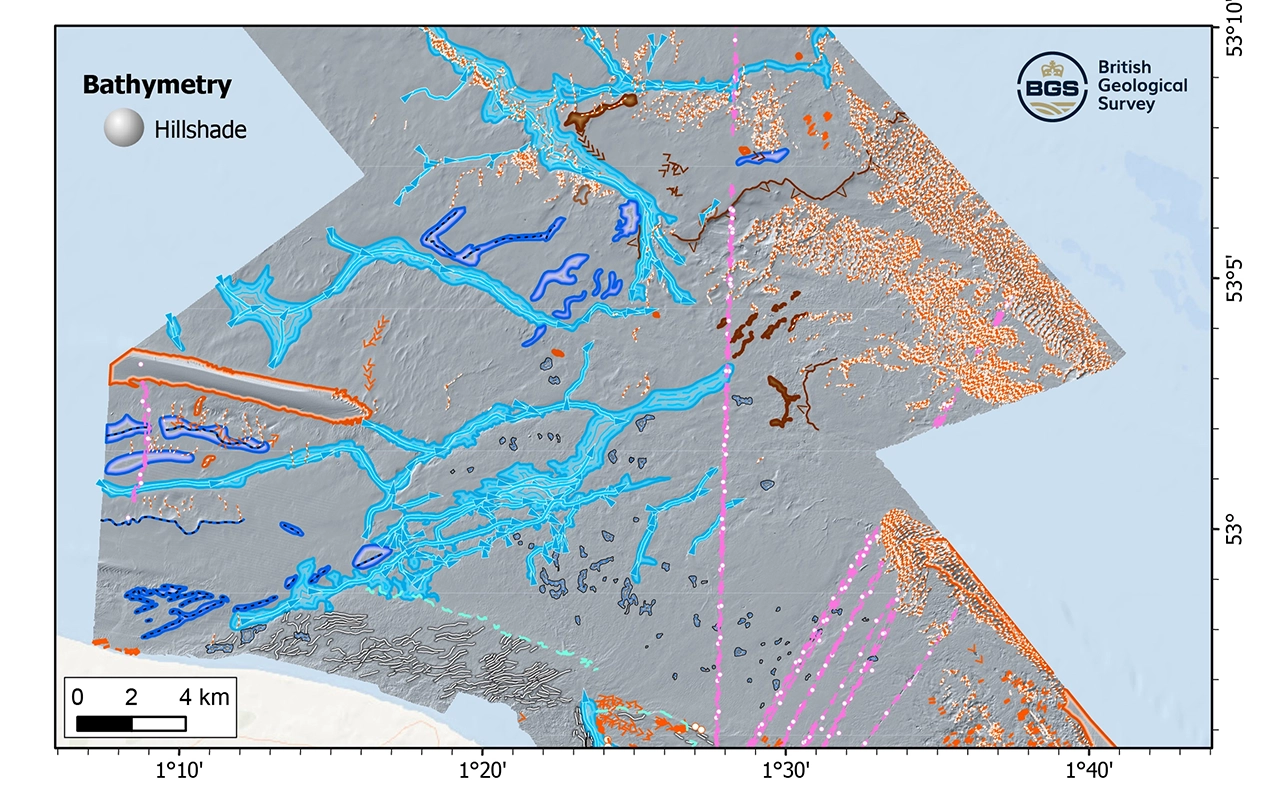
New geological map will help in the hunt for new renewable energy opportunities whilst protecting delicate marine ecosystems.| British Geological Survey
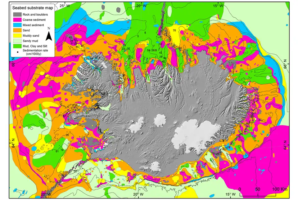
BGS has been awarded the NERC-Arctic grant for a collaboration project with the Iceland GeoSurvey.| British Geological Survey
