Nationwide Drone Services | Aerial Imaging | FlyGuys | Nationwide Data Capture
We are a nationwide drone services provider that acquires aerial imaging data so you can make more informed decisions at an affordable cost.| FlyGuys
We are a nationwide drone services provider that acquires aerial imaging data so you can make more informed decisions at an affordable cost.| FlyGuys
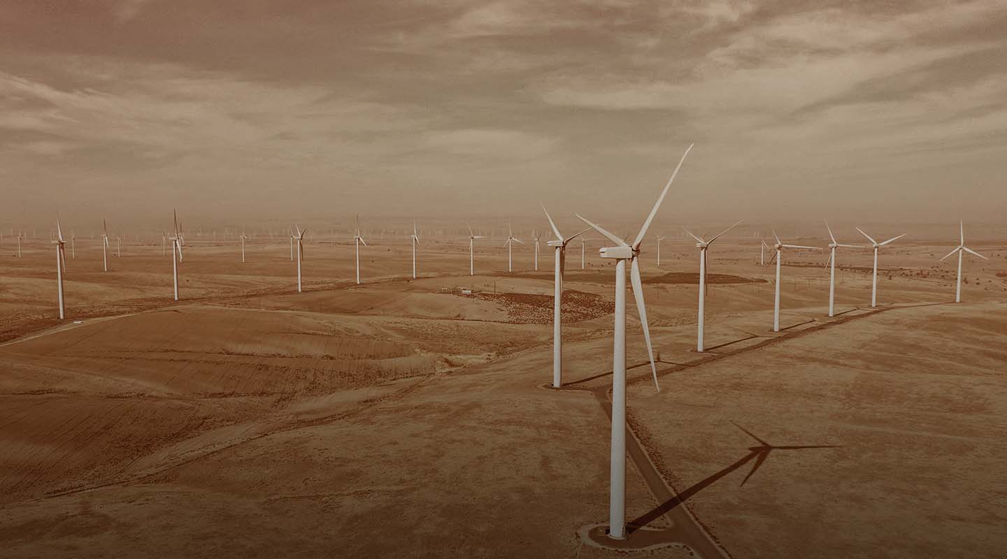
Our drone services improve the efficiency & accuracy of inspections for solar farms, wind farms, & refineries. Contact us today.| FlyGuys
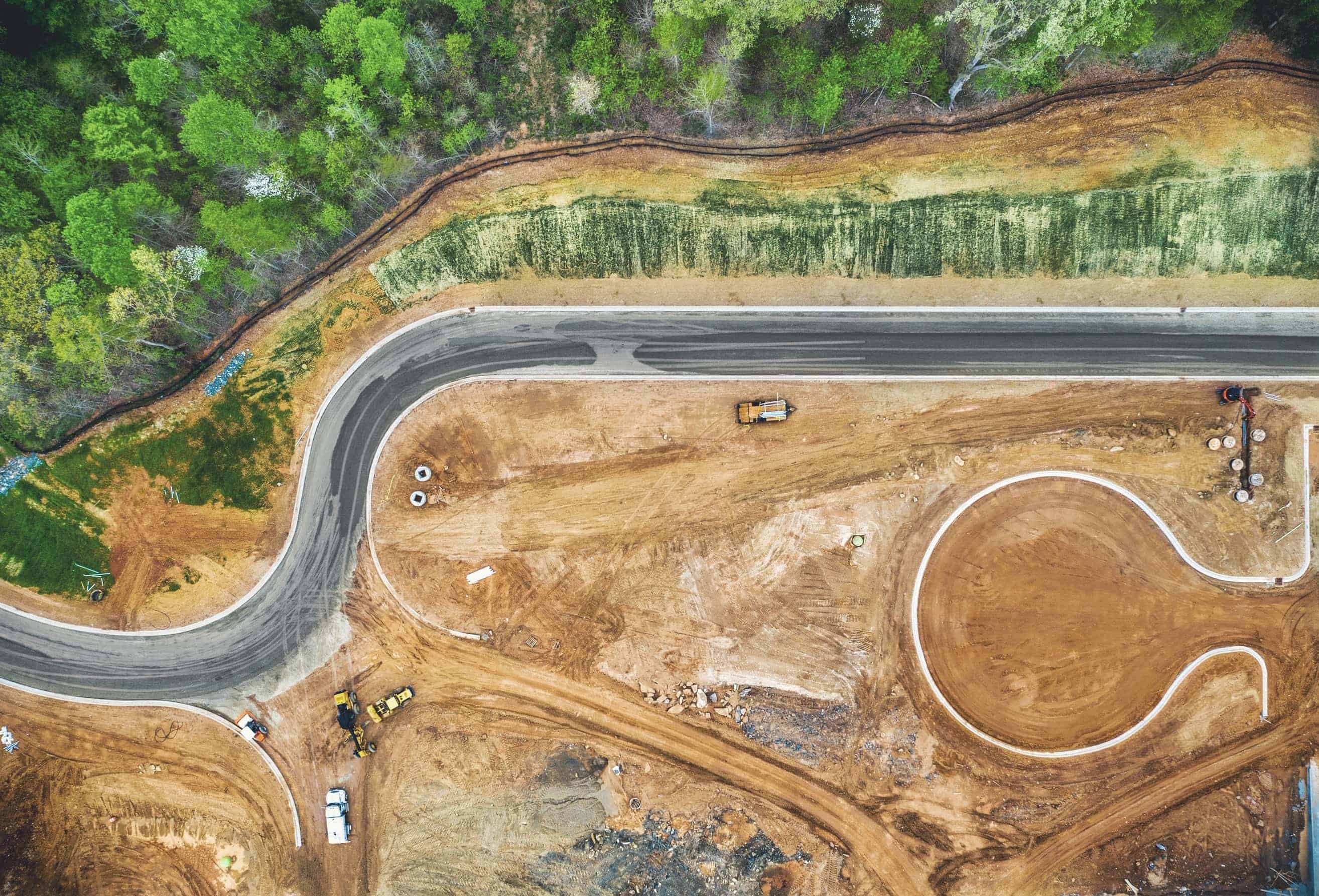
We offer drone data collection services for surveyors and mappers. Start saving time, money and resources today. Deployed nationwide.| FlyGuys
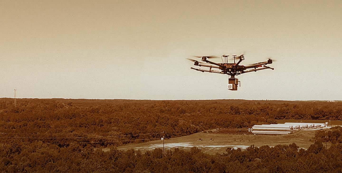
Get professional drone services from our nationwide company including mapping, inspection, photography, & more. Contact Us Today!| FlyGuys
We provide industrial photogrammetry, inspections & data collection for industrial applications. Contact us for a free consult.| FlyGuys
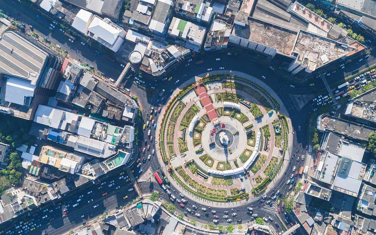
Discover the future of urban planning with LiDAR. Explore how it creates stunning 3D city models and empowers data-driven decisions.| FlyGuys
