OpenGeoscience - British Geological Survey
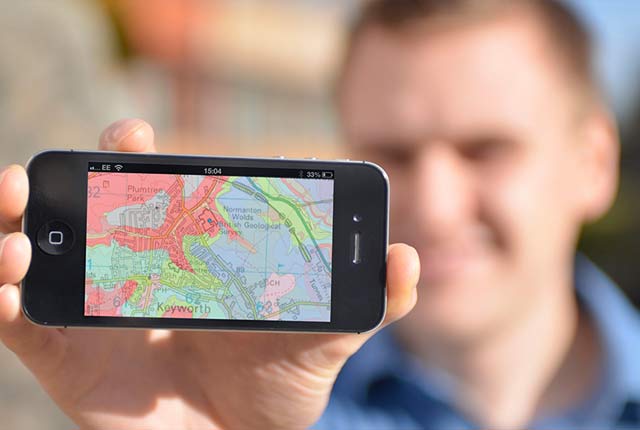
Accessing maps and downloading data, scans, photos and other information via BGS's free OpenGeoscience service.| British Geological Survey
Accessing maps and downloading data, scans, photos and other information via BGS's free OpenGeoscience service.| British Geological Survey
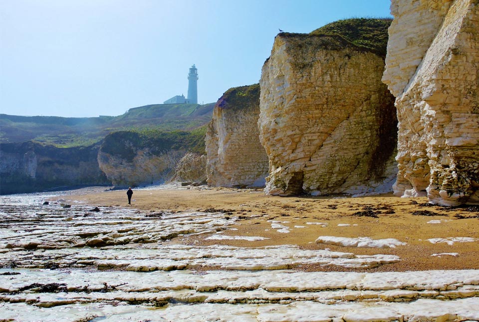
BGS GeoCoast is a package of geospatial datasets designed to provide information on the geological conditions and constraints around the coastline of Britain.| British Geological Survey
