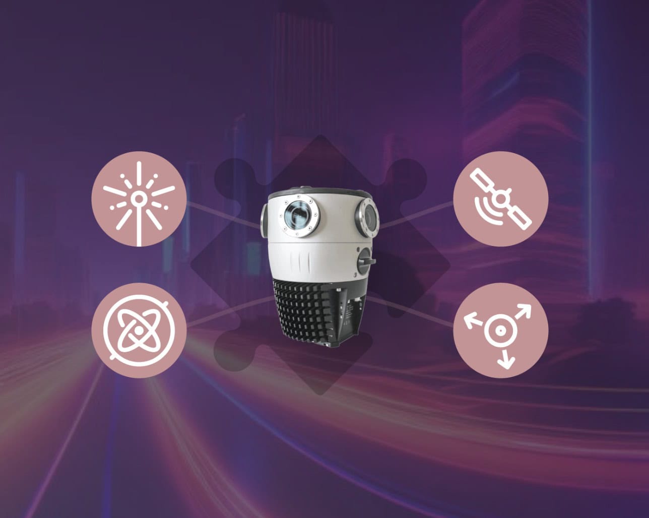
Mosaic Integrations - Enable Your Custom Surveying Solutions -
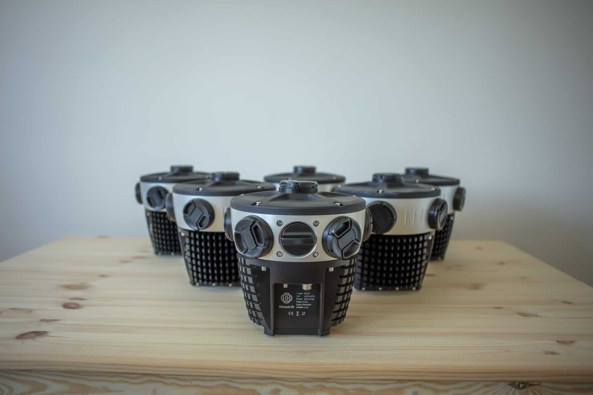
Optimize your surveying with Mosaic integrations. Connect external sensors, like GNSS, LiDAR, and IMU to Mosaic 360 cameras for enhanced geospatial accuracy and efficiency.| Mosaic51.com
Optimize your surveying with Mosaic integrations. Connect external sensors, like GNSS, LiDAR, and IMU to Mosaic 360 cameras for enhanced geospatial accuracy and efficiency.| Mosaic51.com
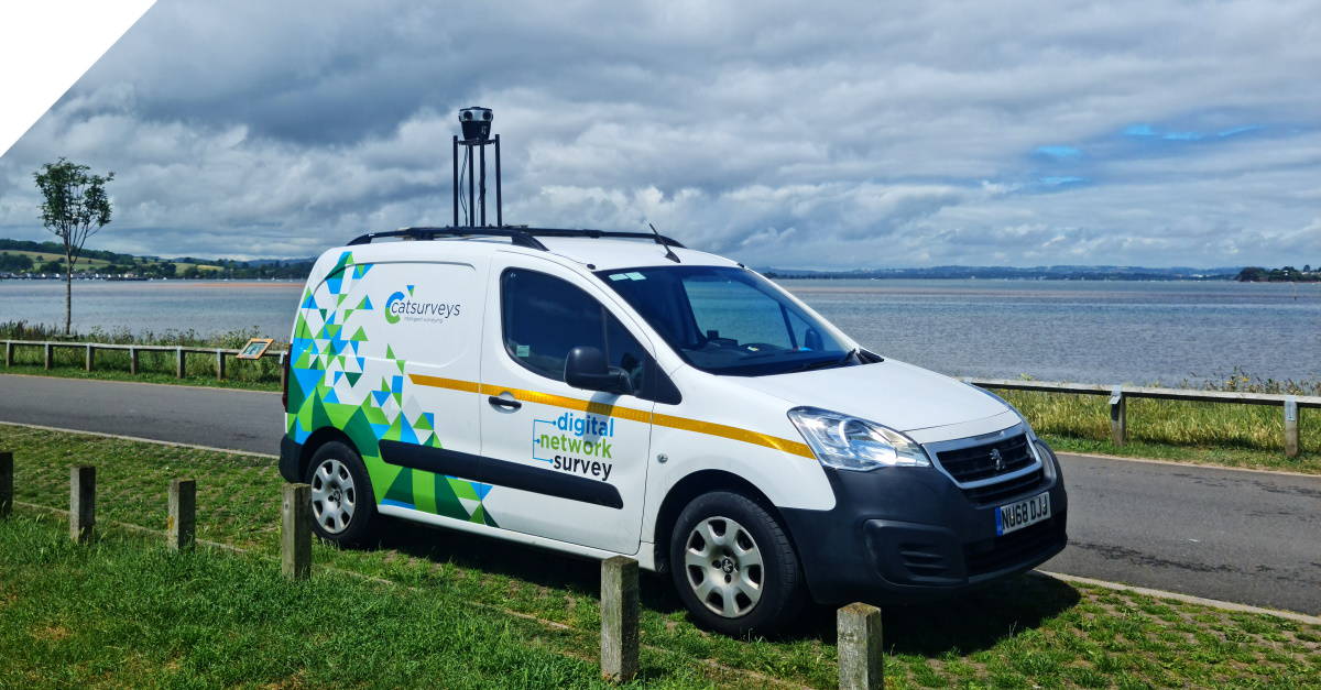
Discover how a mobile mapping camera helped one company scale quickly, reduce costs by more than 20%, and capture better data for telcos.| Mosaic51.com
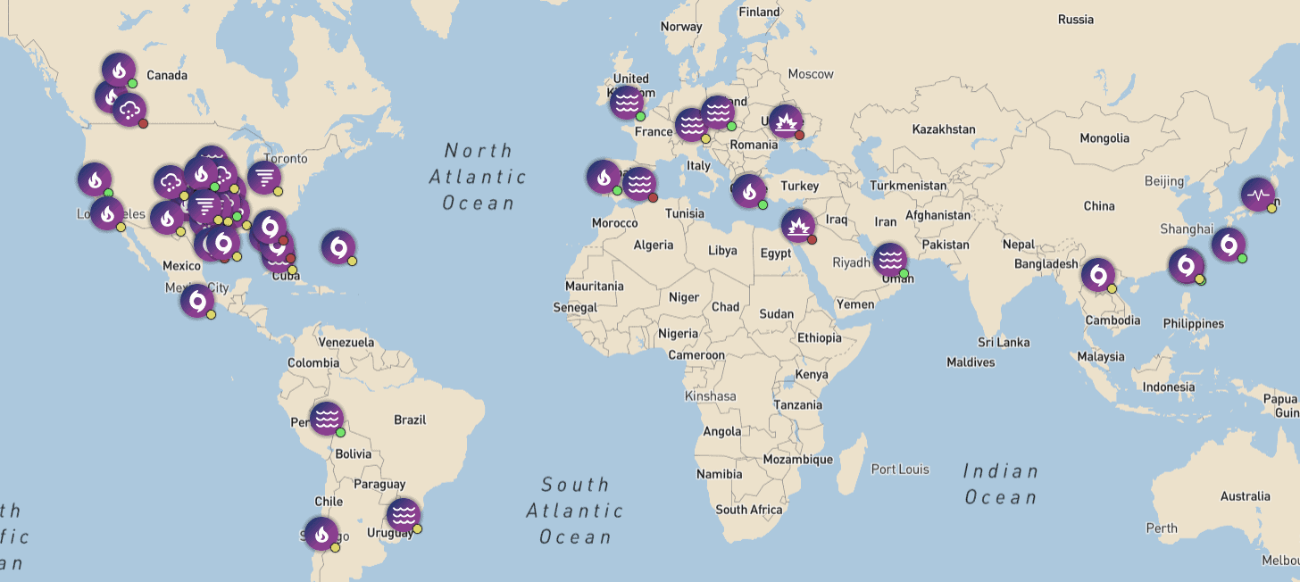
McKenzie Intelligence Services uses Mosaic-gathered data to assess disaster damage and return fast results to their clients.| Mosaic51.com
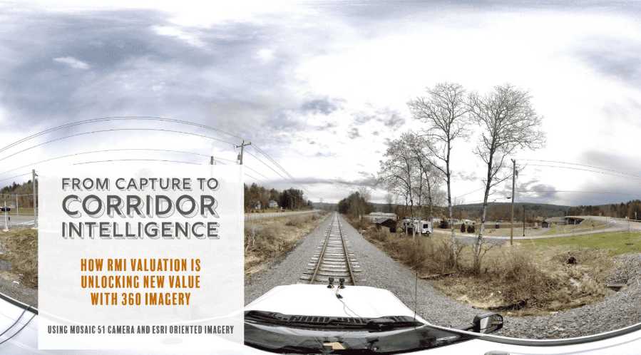
RMI Valuation has developed an end-to-end 360° imagery workflow for rail corridors with the Mosaic 51 camera, GNSS, and ArcGIS.| Mosaic51.com
Mosaic's line of rugged 360º mapping cameras are the highest resolution available, perfect for 3D modeling and AR. Made for mobile mapping.| Mosaic51.com
