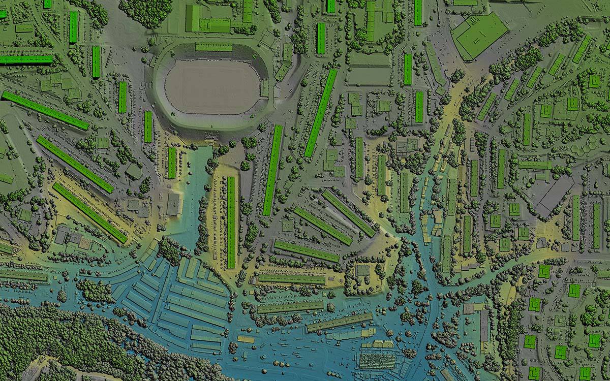
LiDAR Transforms Urban Development Mapping: Insights from a Client Perspective | FlyGuys
How LiDAR is transforming urban development and 3D mapping, pushing boundaries and setting new industry standards.| FlyGuys
How LiDAR is transforming urban development and 3D mapping, pushing boundaries and setting new industry standards.| FlyGuys
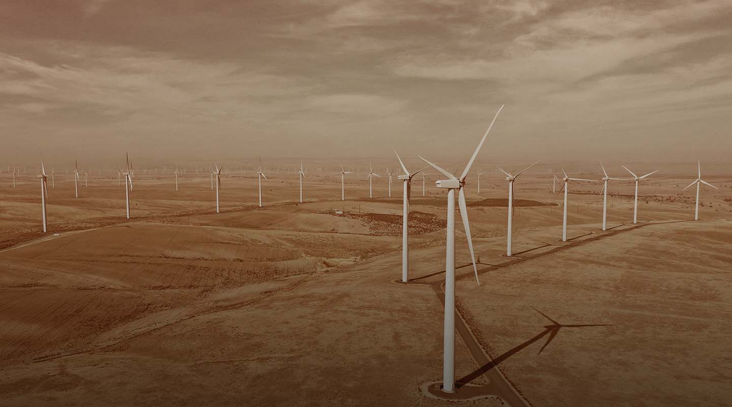
Our drone services improve the efficiency & accuracy of inspections for solar farms, wind farms, & refineries. Contact us today.| FlyGuys

Land surveying and mapping are closely related fields often used together to create accurate and reliable maps of the Earth’s surface. Land surveying provides the foundational data and measurements…| FlyGuys
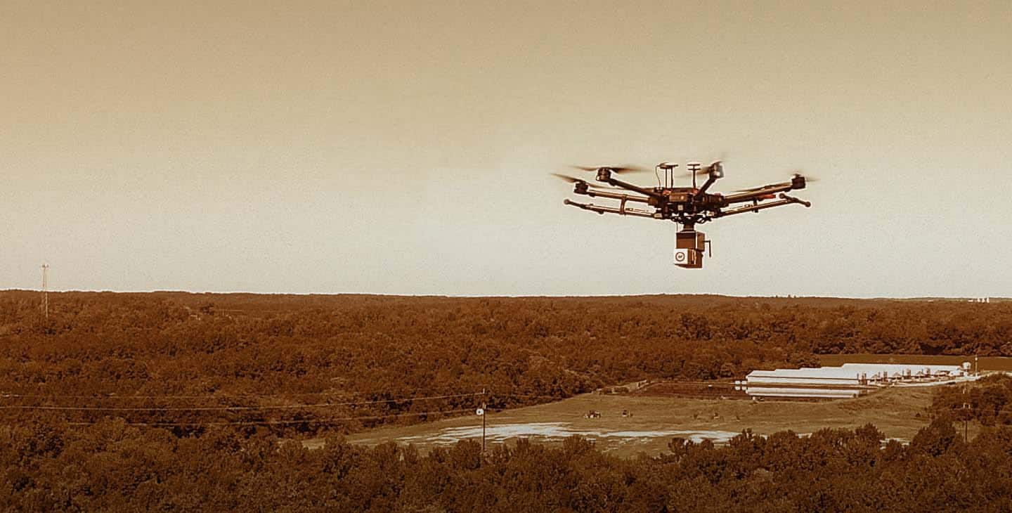
Get professional drone services from our nationwide company including mapping, inspection, photography, & more. Contact Us Today!| FlyGuys
