From Capture to Corridor Intelligence: RMI Valuation and Mosaic
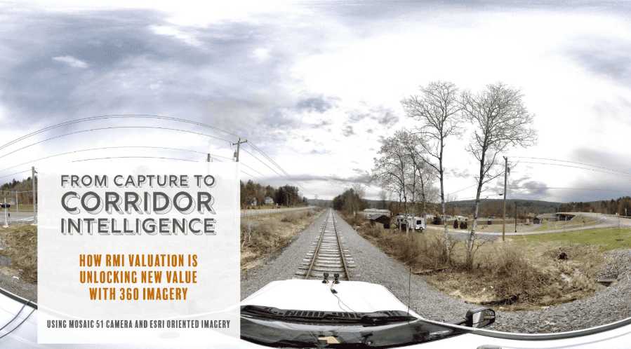
RMI Valuation has developed an end-to-end 360° imagery workflow for rail corridors with the Mosaic 51 camera, GNSS, and ArcGIS.| Mosaic51.com
RMI Valuation has developed an end-to-end 360° imagery workflow for rail corridors with the Mosaic 51 camera, GNSS, and ArcGIS.| Mosaic51.com
