
New BGS GeoIndex viewer released for user testing - British Geological Survey
The premium map-viewing application has been given a major upgrade and made available as a beta release.| British Geological Survey
The premium map-viewing application has been given a major upgrade and made available as a beta release.| British Geological Survey

High resolution viewing of images of almost all small and medium scale geological maps produced by BGS since mapping started in 1832.| British Geological Survey

Marine ecosystem science and offshore infrastructure will be boosted by a new dataset showing sediment composition across the UK continental shelf.| British Geological Survey
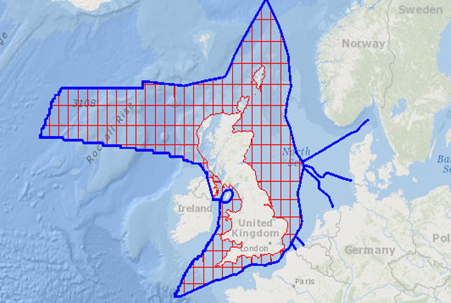
The offshore GeoIndex shows the range of marine geoscience data held by the BGS within the National Geoscience Data Centre (NGDC).| British Geological Survey
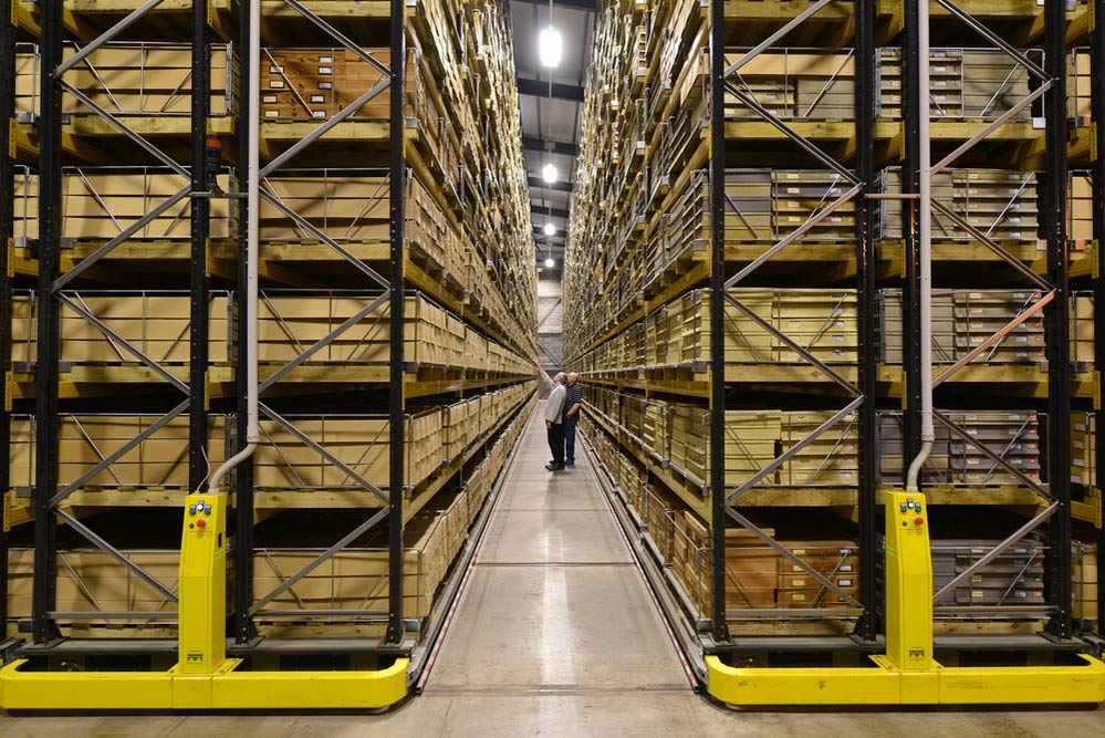
The National Geological Repository (NGR) holds BGS geological material collections relating to the subsurface of the UK and continental shelf, which are used extensively by industry, research, and academia.| British Geological Survey
