Mapping Historical New York with dot density maps | Stamen
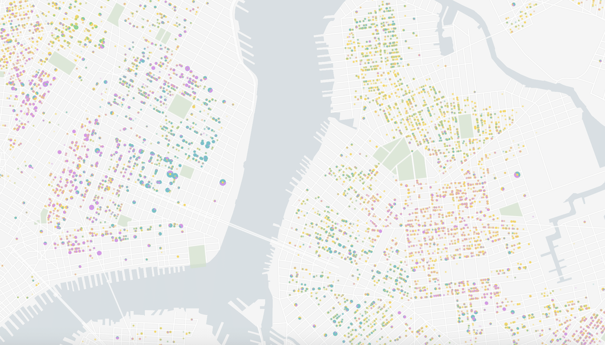
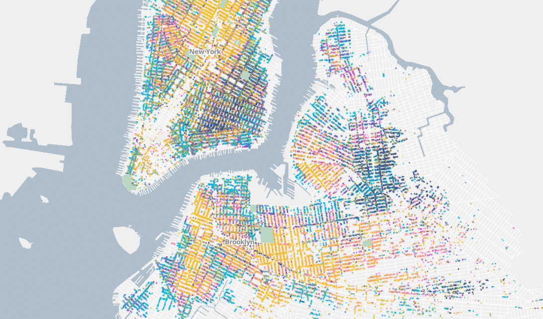
In 2021 Stamen had the pleasure of working on Mapping Historical New York with Columbia University’s Center for Spatial Research. The Center came to the table with a large and unique dataset of historical census data for the areas that are now Manhattan and Brooklyn dating back to 1850. Part of what is special about...| Stamen