New Tool Provides Rapid Evaluation of Water Quality | Landsat Science
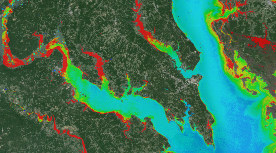
A combination of Landsat and Sentinel-2 imagery, NASA near real-time data, and machine learning provides near real-time access to high-resolution water quality maps.| Landsat Science | A joint NASA/USGS Earth observation program.
