Covering the Planet with Compressed Bitmaps - Protomaps Blog
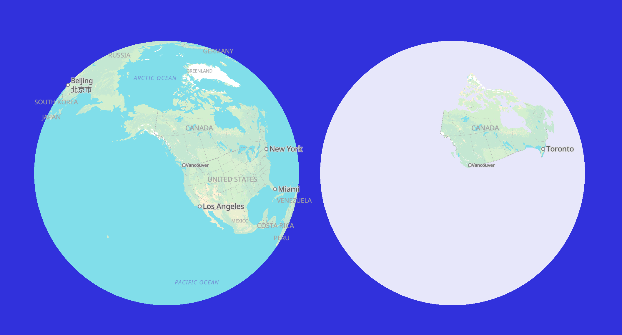
This is the first post explaining how the pmtiles extract command works to slice a smaller tileset from a larger one. Protomaps Builds contains a daily planet tileset - if you want just Canada, or South America, you can pass pmtiles extract a GeoJSON to get only that region. The first step in extracting a slice is computing a tile covering for the target region. A covering is the set of all tiles that touch the edge of the region, or lie completely within it.| protomaps.com

