Why use a map? Imagine a map of your hometown. Seeing that a creek runs along main street or that there are connecting side streets running adjacent to that one highway with the notorious stoplight is the kind of spatial information that could meaningfully impact your life. Now imagine a map of a town you’ve... The post Brain Cartography: Mapping a place that everyone knows, but (almost) no one has ever been appeared first on Stamen.| Stamen
Earlier this summer, Stamen collaborated with the team at MetroMatch to update the look and feel of their transit-first navigation tool. MetroMatch is a transit-focused travel planning and discovery site that connects travelers to destinations that are only a short walk from rail stations. MetroMatch’s pilot focuses on Washington, DC, taking advantage of the region’s...| Stamen
What is the Connection Engine? The Congruence Engine (later renamed Connection Engine) is a three-year research project funded by the Arts and Humanities Research Council in efforts to digitally connect industrial heritage collections across the UK. Using advanced digital tools such as AI, it links museum objects, archives, photographs, and more, enabling historians and curators...| Stamen
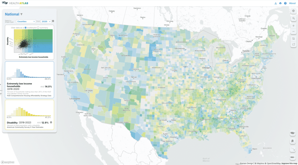
Stamen has been working with a team out of UCSF (University of San Francisco) Population Health and Health Equity to create and maintain their Health Atlas since 2019. You can read a bit about the initial launch in our blog post from 2020. In 2024 we had the opportunity to rebuild the Health Atlas and...| Stamen
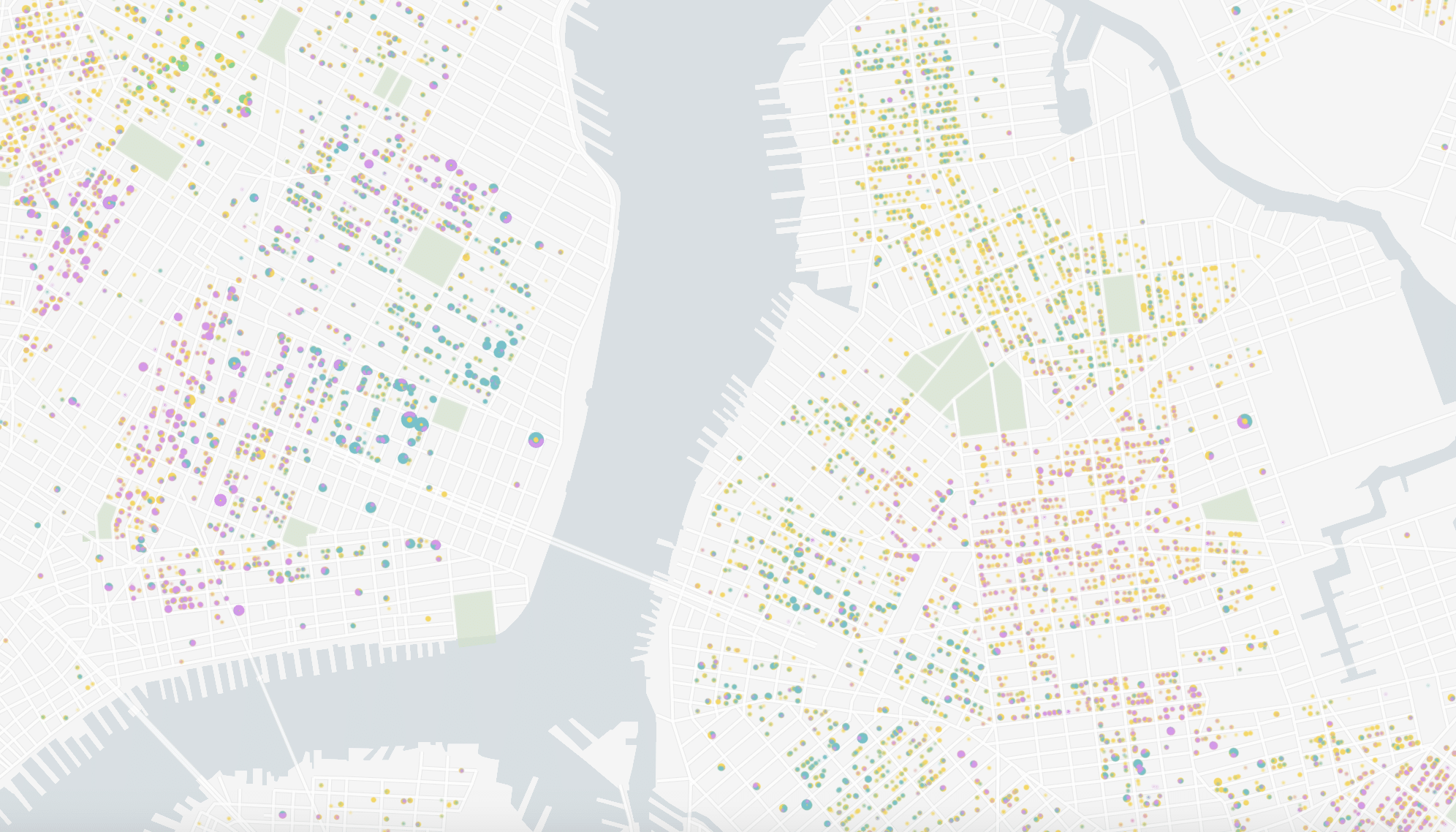
Content in this post comes from our presentation at the North American Cartographic Information Society (NACIS) 2024 Annual Meeting last week in Tacoma, WA. Mapping Historical New York: A Digital Atlas visualizes New York City’s transformations during the late-nineteenth and early-twentieth centuries both in terms of population and landscape. Drawing on 1850, 1880, 1910, and...| Stamen