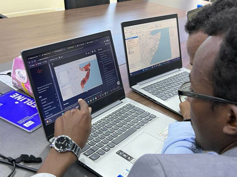
As part of our ongoing work in Anticipatory Action, a QGIS plugin for risk assessments was developed with the goal of enabling local actors to carry out risk assessments independently and reliably. The tool builds on HeiGIT’s broader efforts to support community resilience by making geoinformation technology more accessible to practitioners in diverse operational contexts. […]| HeiGIT
Artificial Intelligence holds great promise for strengthening Anticipatory Action by improving hazard forecasting, vulnerability mapping, and decision support, but must be tailored to real-world humanitarian contexts to really be of benefit. A recent workshop brought together practitioners, researchers, and tech experts to identify gaps, share learnings, and explore how AI can be responsibly and effectively […]| HeiGIT
Artificial Intelligence holds great promise for strengthening Anticipatory Action by improving hazard forecasting, vulnerability mapping, and decision support, but must be tailored to real-world humanitarian contexts to really be of benefit. A recent workshop brought together practitioners, researchers, and tech experts to identify gaps, share learnings, and explore how AI can be responsibly and effectively integrated into anticipatory humanitarian efforts.| GIScience Blog
This article was originally published on the website of 510, the data and digital unit of The Netherlands Red Cross: Unleashing the Power of GIS, Together: The IFRC Network GIS Training Platform – 510| GIScience Blog