Much of the Archaean Eon is represented by cratons, which occur at the core of continental parts of tectonic plates. Having low geothermal heat flow they are the most rigid parts of the continental…| Earth-logs
A new approach that combines AI and satellite data has been used by scientists to detect actively moving landslides at a national scale. The post Artificial intelligence helps scientists identify 3000 moving slopes potentially at risk of landslide appeared first on British Geological Survey.| British Geological Survey
A few days ago, I posted about a recent wildfire in Tres Cantos, Madrid, Spain, sharing images of Pléiades Neo and Sentinel-2 that showed the extent of the fire. Since the Sentinel-2 data products can be downloaded for free and they include multispectral data covering 13 bands including visible, near infrared and short wave infrared… Continue reading Multispectral analysis of the Tres Cantos wildfire with Sentinel-2 data| Daniel Estévez
This post is going to be slightly unusual for the topics of this blog, because there is no RF, but nevertheless there is space-based remote sensing, which fits somewhat well with the things I usually write about. I wanted to write down this information somewhere, and it was too long for a series of tweets.| Daniel Estévez
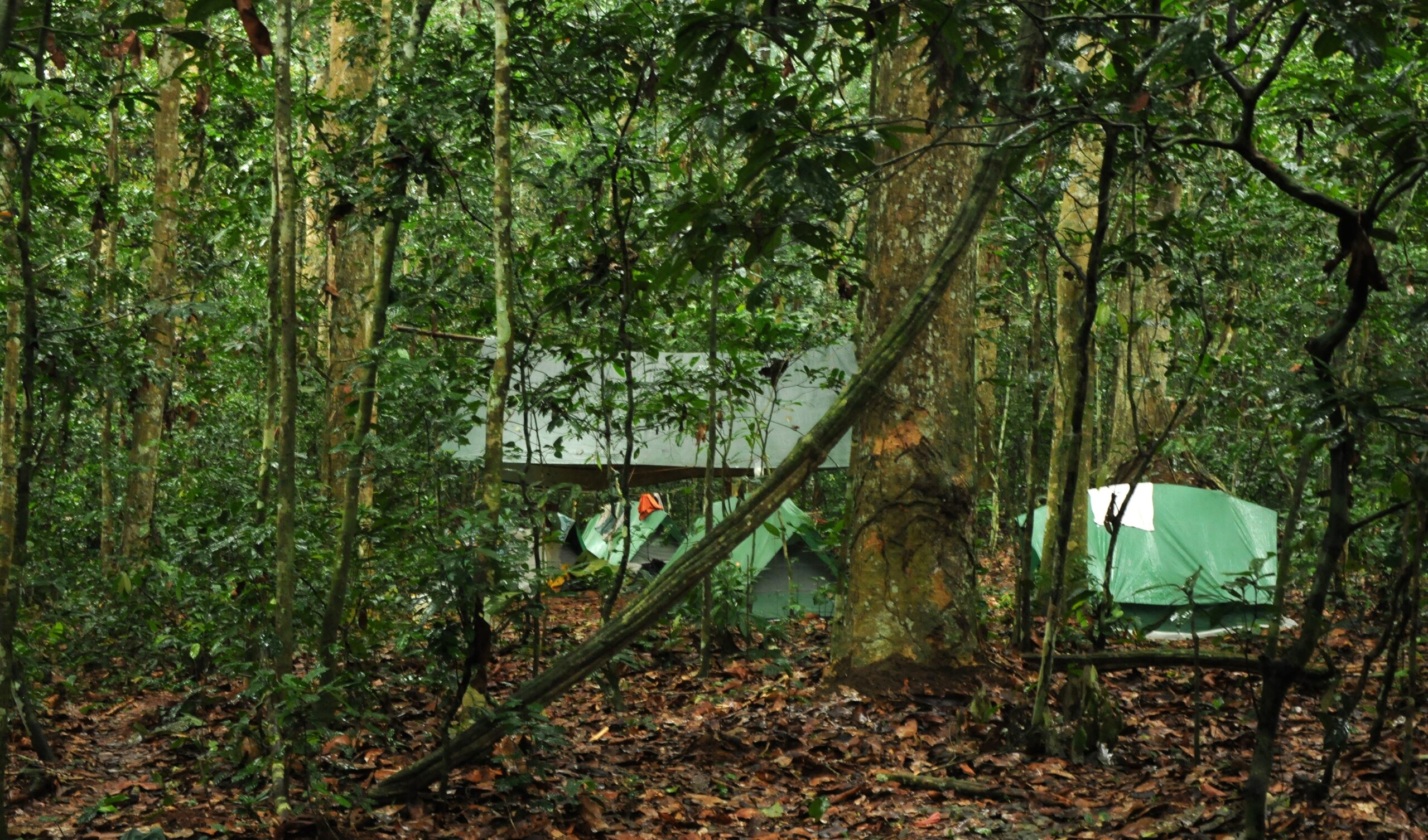
It surprises me that, despite all the advances in AI, computers cannot easily and accurately separate crowns of individual trees in a tropical forest seen from space. It can be done but it is not easy. Figure 1. Forest of the Sangha Trinational in Republic of Congo, from a satellite image, access| Botanics Stories
A long-overdue check-in conversation with Tom Hengl, , director at OpenGeoHub and one of the leading scientists in earth observation and remote sensing—one of the most cited in his field, belonging to the top 0.1% (based on Clarivate Highly Cited Researchers). We discuss the significant changes in the world of remote sensing, satellites, and the hype surrounding AI, machine learning, and large language models over the past three years. While the hype has brought some interesting advancement...| Investing in regenerative agriculture
How do you study a hurricane? Meet the fancy tech behind the science, By Dinah Voyles Pulver, USA Today (November 17, 2024) A growing array of tools to measure conditions inside one of nature’s most fearsome storms saw quite a workout in the 11 hurricanes,... The post How do you study a hurricane? Meet the fancy tech behind the science first appeared on Black Swift Technologies. The post How do you study a hurricane? Meet the fancy tech behind the science appeared first on Black Swift Techn...| Black Swift Technologies
Hurricane Milton Has Reshaped Storm Science Even Before Making Landfall, By Lauren Rosenthal and Eric Roston, Bloomberg (October 9, 2024) To predict “explosive” storms, hurricane scientists need an ocean of data to feed into newer models. The post Hurricane Milton Has Reshaped Storm Science Even Before Making Landfall first appeared on Black Swift Technologies. The post Hurricane Milton Has Reshaped Storm Science Even Before Making Landfall appeared first on Black Swift Technologies.| Black Swift Technologies
Meteorologists Tracking Hurricane Helene Have Gone High-Tech, by Eric Niiler, The Wall Street Journal (September 25, 2024) Hurricane-hunting aircraft have been flying into powerful storms for decades, but high-tech drones are doing things that humans can’t. The post Meteorologists Tracking Hurricane Helene Have Gone High-Tech first appeared on Black Swift Technologies. The post Meteorologists Tracking Hurricane Helene Have Gone High-Tech appeared first on Black Swift Technologies.| Black Swift Technologies
CU grad and entrepreneur gets job with Hurricane Hunters, 9News (September 12, 2024) When CU Boulder engineering graduate Jack Elston started his small business in 2011, he had no idea that it would eventually place him in the passenger seat of an NOAA Hurricane Hunter aircraft. But that’s... The post CU grad and entrepreneur gets job with Hurricane Hunters first appeared on Black Swift Technologies. The post CU grad and entrepreneur gets job with Hurricane Hunters appeared first on Blac...| Black Swift Technologies
A new European Space Agency-funded project will study the effect earthquakes have on occurrences of other natural hazards in the long-term.| British Geological Survey
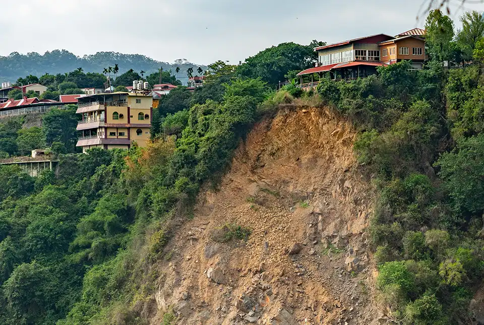
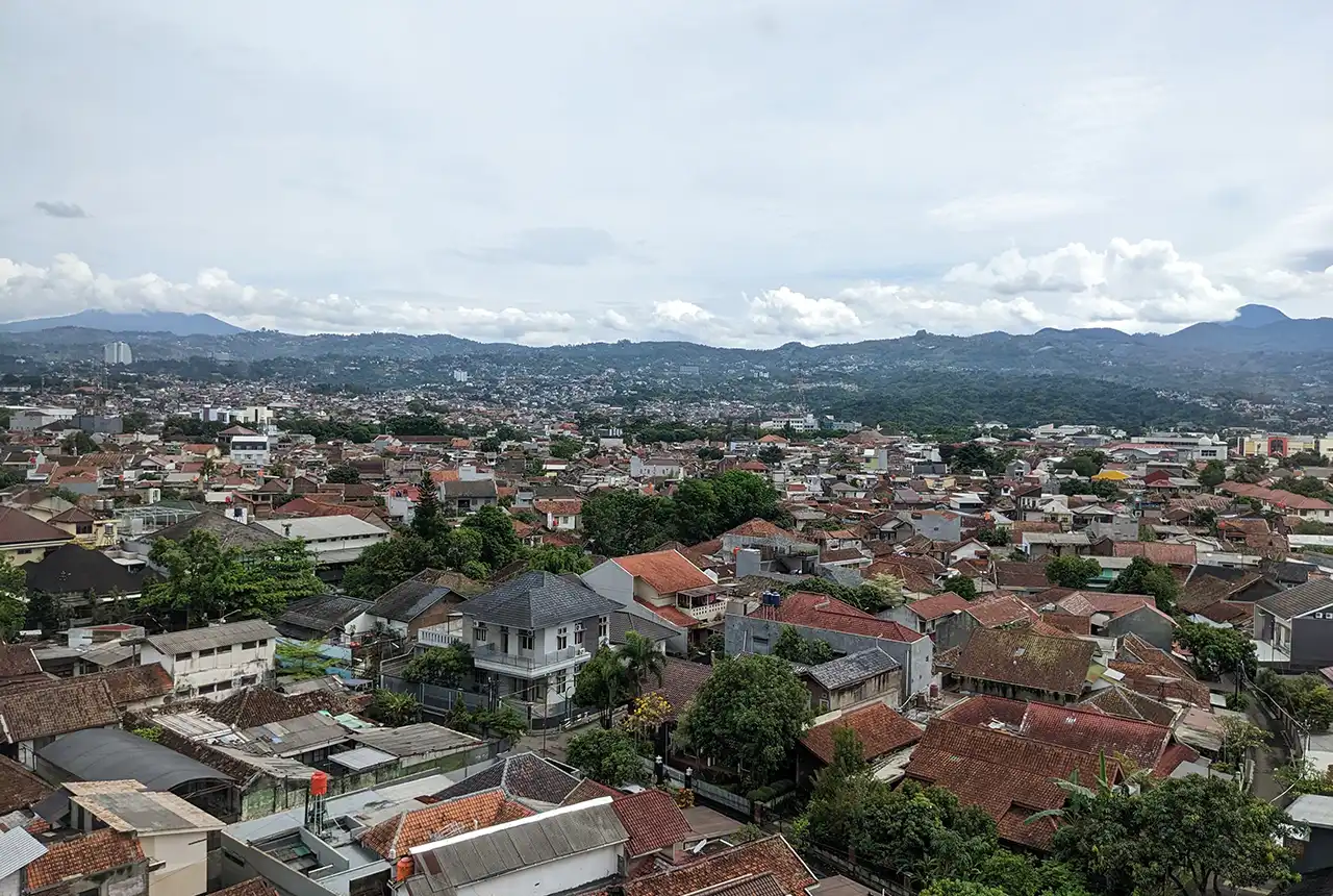
BGS-led research reveals the number of people in the Bandung metropolitan region who could be exposed to a major earthquake.| British Geological Survey