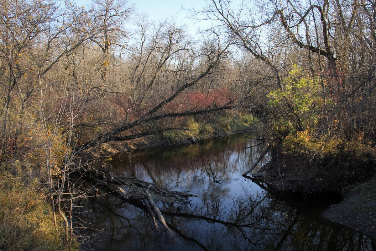
For the upcoming forecast period, a large area of low pressure remains anchored off the British Columbia coast, a strong low spins over the Atlantic coast and another, weaker low lingers near Hudson Bay. Between these systems, the flow across the Prairies is largely zonal, meaning it moves west to east with little north–south movement. That pattern will help usher a few weak disturbances across the region during the next several days. The post Prairie forecast: Quiet pattern continues as wi...| Manitoba Co-operatorDaily news Archive - Manitoba Co-operator
Forecast issued October 29, covering Oct. 29 to Nov. 5, 2025 Highlights: Overview I can’t say last week’s forecast played out exactly as expected — but that’s not too surprising. Overall confidence was on the low side. While the models did a decent job with the big picture, a few smaller details didn’t line up. The post Prairie forecast: A slow cool down towards winter appeared first on Grainews.| GrainewsWeather & Production Tips - Grainews
Forecast issued October 29, covering Oct. 29 to Nov. 5, 2025 Highlights: Overview I can’t say last week’s forecast played out exactly as expected — but that’s not too surprising. Overall confidence was on the low side. While the models did a decent job with the big picture, a few smaller details didn’t line up. The post Prairie forecast: A slow cool down towards winter appeared first on Manitoba Co-operator.| Manitoba Co-operatorWeather & Farming Articles - Manitoba Co-operator
The active pattern that we saw last week looks to continue into this forecast period which means more chances for rain, possibly some wet snow and a continuation of the temperature rollercoaster ride.| Manitoba Co-operator
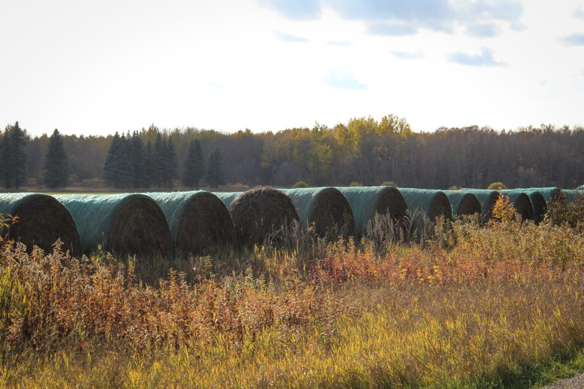
Prairie forecast covering October 8 to 15, 2025. The Prairies may be in for a prolonged battle between warm and cold air before winter sets in. This could bring lots of rain or snow.| Grainews
The active pattern that we saw last week looks to continue into this forecast period which means more chances for rain, possibly some wet snow and a continuation of the temperature rollercoaster ride. The post Prairie forecast: Active pattern continues with mostly-dry west, wet start for east appeared first on Grainews.| GrainewsDaily News from Glacier Farm Media Network - Grainews
The big question leading into this forecast period is — just how long will the summery temperatures will continue? After all we are now into October.| Manitoba Co-operator
The big question leading into this forecast period is — just how long will the summery temperatures will continue? After all we are now into October. The post Prairie forecast: Transition from warm to cool brings chances for rain appeared first on Grainews.| GrainewsWeather & Production Tips - Grainews
Highlights Conditions producing heat and humidity over Saskatchewan and Manitoba to depart Alberta to see a cooling pattern before returning to mid-twenty| Grainews
Highlights Conditions producing heat and humidity over Saskatchewan and Manitoba to depart Alberta to see a cooling pattern before returning to mid-twenty| Alberta Farmer Express
To start this forecast period, we have an area of low pressure developing over Montana. This will help bring one more day of intense heat over southern Saskatchewan and a hot day over Manitoba. That same low will bring partly cloudy skies and the chance of showers to a good portion of Alberta.| Grainews
This forecast period is looking straightforward as surface high pressure and upper-level ridging looks to dominate the forecast. This should bring what looks to be an extended period of sunny skies and warm to hot temperatures.| Grainews
For this forecast period it looks like the active pattern that developed last week will continue with a couple of lows forecasted to impact parts of the Prairies.| Alberta Farmer Express
For this forecast period it looks like the active pattern that developed last week will continue with a couple of lows forecasted to impact parts of the Prairies.| Manitoba Co-operator
This forecast period starts with a broad, cool area of high pressure stretching across the Prairie provinces. The cool air combined with strong mid-summer sunshine is leading to partly cloudy skies along with the odd shower or thundershower.| Manitoba Co-operator
We start this forecast period with a strong area of low pressure pushing in off the southern coast of B.C. This low will bring very mild temperatures to southern Alberta on Wednesday and into Thursday. It will then help to develop an area of low pressure over south-central regions early Thursday morning.| Grainews
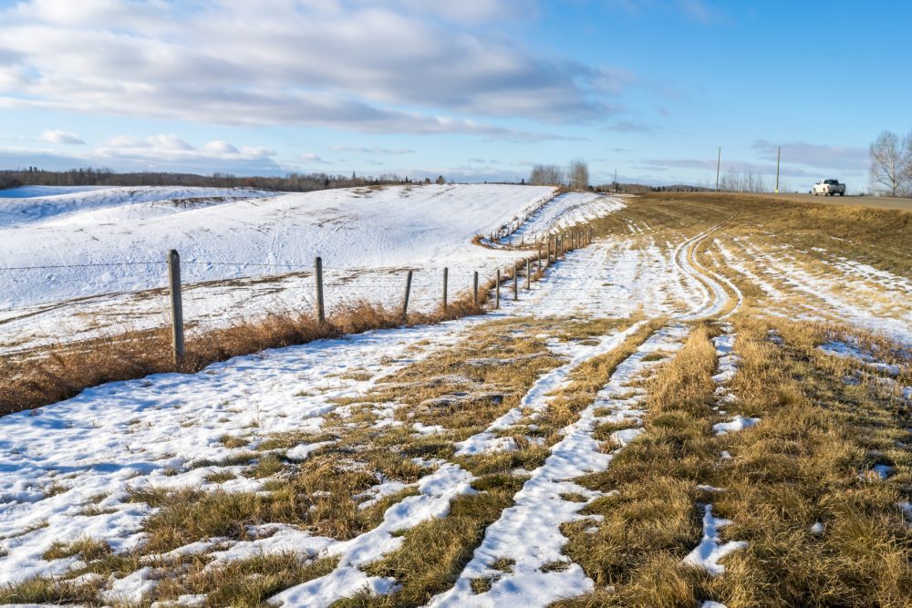
For this forecast period, as predicted a week ago, we're finally going to see an end to this long cold snap. The polar vortex is weakening and is forecasted to move off to the east. This will allow for a strong push of mild Pacific air to flood across the Prairies. It should bring temperatures above freezing to Alberta beginning early in the forecast period. Near to above freezing temperatures should move into Saskatchewan and Manitoba over the weekend.| Grainews