Together with the German Federal Agency for Cartography and Geodesy (BKG) we released a new version of the ohsome dashboard, introducing a new indicator for assessing the thematic accuracy of land cover data in OpenStreetMap (OSM). This development is part of a broader project together with BKG on OSM data quality evaluation. New indicator: Thematic […]| HeiGIT
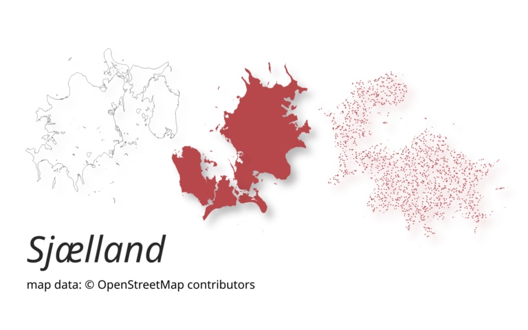
A new version of ohsome-planet (codename “Sjælland”) has been released. It is the newest version of HeiGIT´s command line tool, which transforms OpenStreetMap (history) PBF files into into an analysis-ready data format. We illustrate what ohsome-planet can do by assessing how many OSM edits used Bing Imagery as reference source.| GIScience Blog
We’re excited to share the release of the ohsome-planet – a new software library on GitHub, marking a significant step toward the development of ohsome 2.0. This tool is designed to facilitate the transformation of raw OpenStreetMap (OSM) history data into the GeoParquet format, making it more accessible and efficient for spatial data analysis.| GIScience Blog