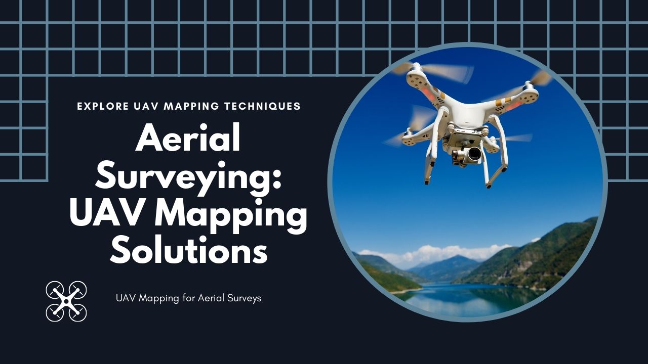
UAV mapping has changed how we do aerial surveying. With drones, we can now map areas quickly, accurately, and in a cost effective way.| GIS Geography