BGS-led paper scoops prestigious award - British Geological Survey
BGS is seeking user feedback on artificial ground data – how you use it, what information do you consider, and what we can do to improve our services.| British Geological Survey
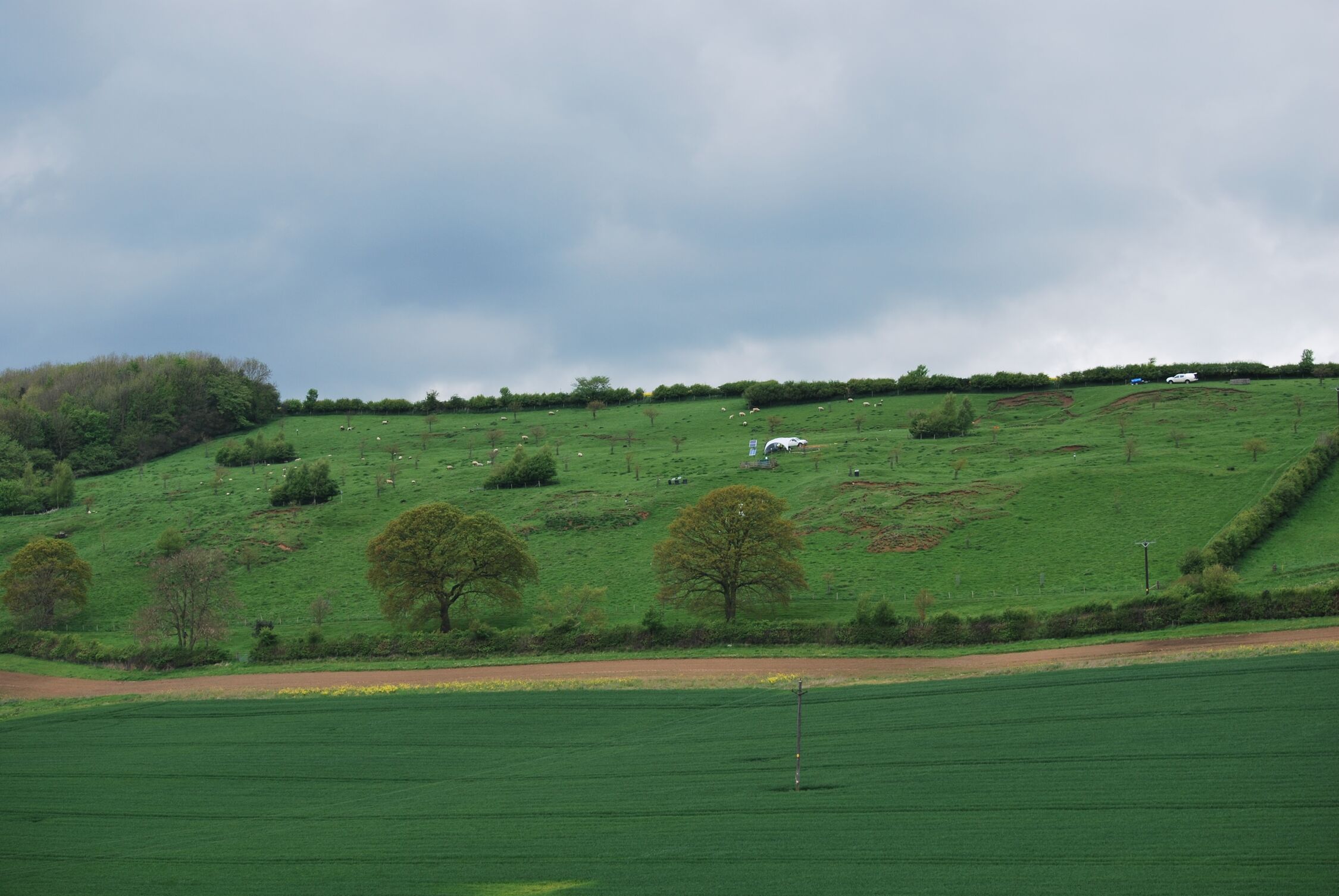
A new approach that combines AI and satellite data has been used by scientists to detect actively moving landslides at a national scale. The post Artificial intelligence helps scientists identify 3000 moving slopes potentially at risk of landslide appeared first on British Geological Survey.| British Geological Survey
BGS is seeking user feedback on artificial ground data – how you use it, what information do you consider, and what we can do to improve our services.| British Geological Survey
