Mapping Antarctica | One world
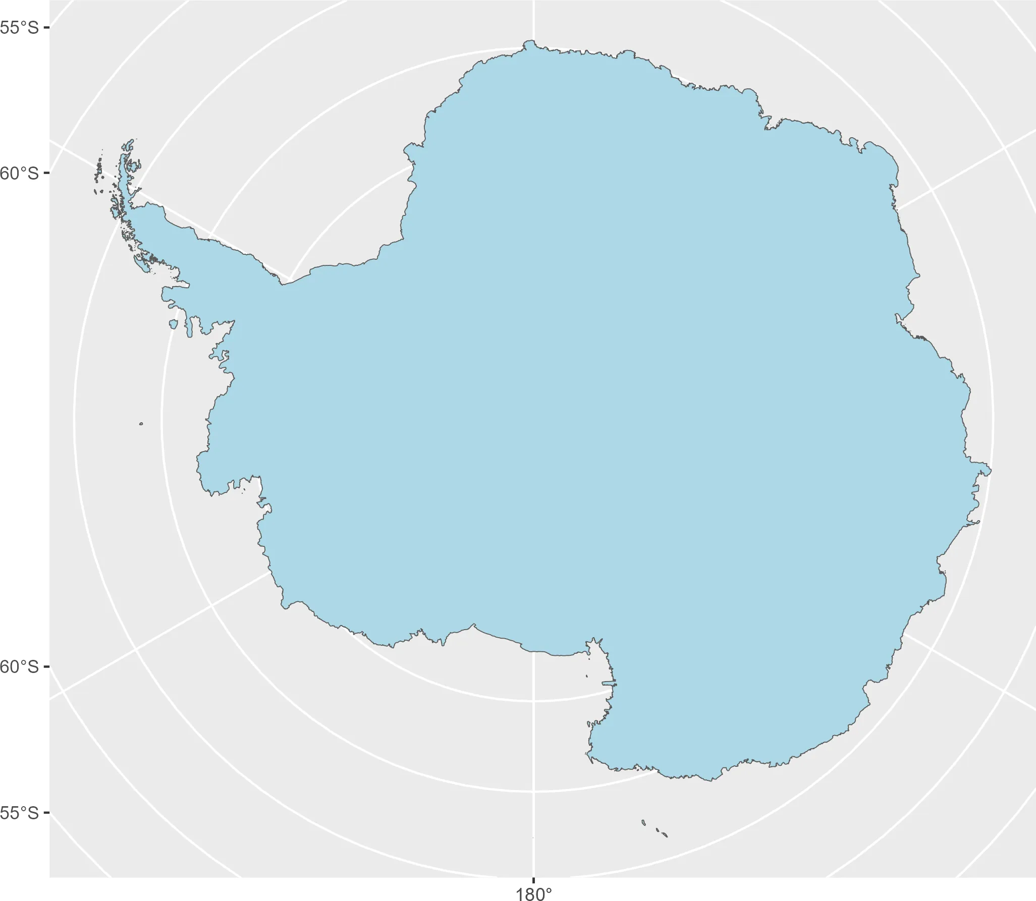
Cool maps from the South Pole - Creating maps with R is usually straightforward, but representations thatcross the International DateLine...| One world | Projects, maps and coding
Cool maps from the South Pole - Creating maps with R is usually straightforward, but representations thatcross the International DateLine...| One world | Projects, maps and coding
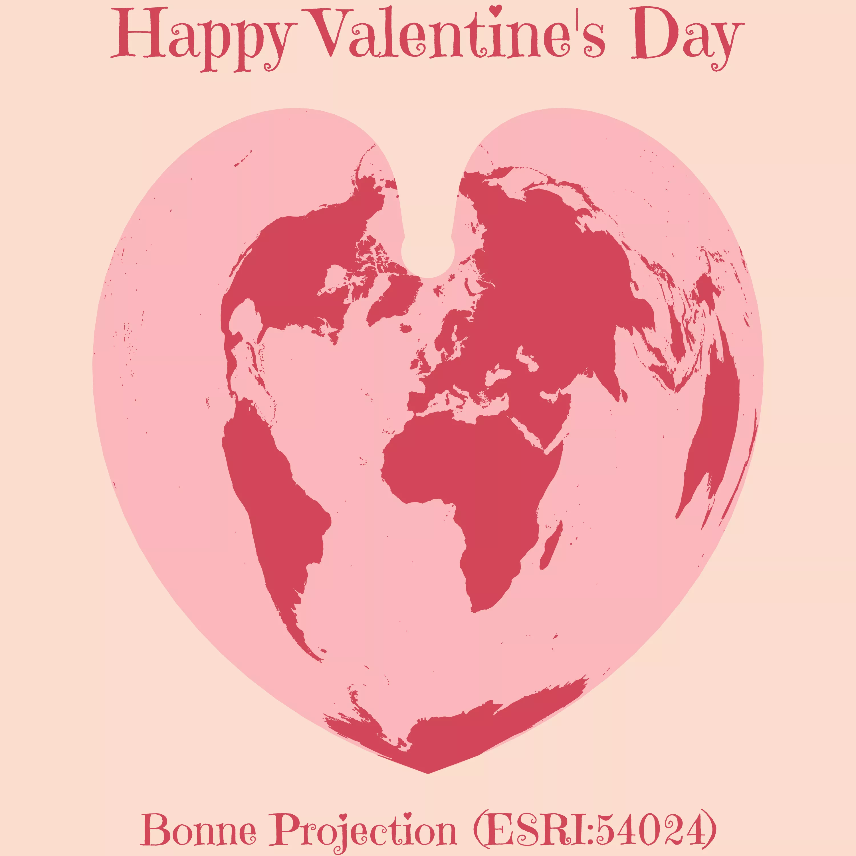
Do you know the Bonne projection? - Do you know the Bonne Projection? This is a very special one, as...| One world | Projects, maps and coding
In 1569 the Flemish cartographer and mathematician Gerardus Mercator published a new world map under the title “New and more complete representation of the terrestrial globe properly adapted for use in navigation.” The title of the map points to Mercator’s main claim for its usefulness, which he expounded upon in the map’s legends. Mercator presented his map as not only an accurate representation of the known world, but also as a particularly useful map for the purposes of navigation....| A Rogue Historian
The previous post provided an introduction to the sp and sf packages and how they represent spatial data in R. There I discussed the creation of Spatial and sf objects from data with longitude and latitude values and the process of making maps with the two packages. In this post I will provide further background for the sf package by going into the details of the structure of sf objects and explaining how the package implements the Simple Features open standard. It is certainly not necessary ...| A Rogue Historian
The geographic visualization of data makes up one of the major branches of the Digital Humanities toolkit. There are a plethora of tools that can visualize geographic information from full-scale GIS applications such as ArcGIS and QGIS to web-based tools like Google maps to any number of programing languages. There are advantages and disadvantages to these different types of tools. Using a command-line interface has a steep learning curve, but it has the benefit of enabling approaches to anal...| A Rogue Historian
In the previous post I discussed some reasons to use R instead of Excel to analyze and visualize data and provided a brief introduction to the R programming language. That post used an example of letters sent to the sixteenth-century merchant Daniel van der Meulen in 1585. One aspect missing from the analysis was a geographical visualization of the data. This post will provide an introduction to geocoding and mapping location data using the ggmap package for R, which enables the creation of m...| A Rogue Historian
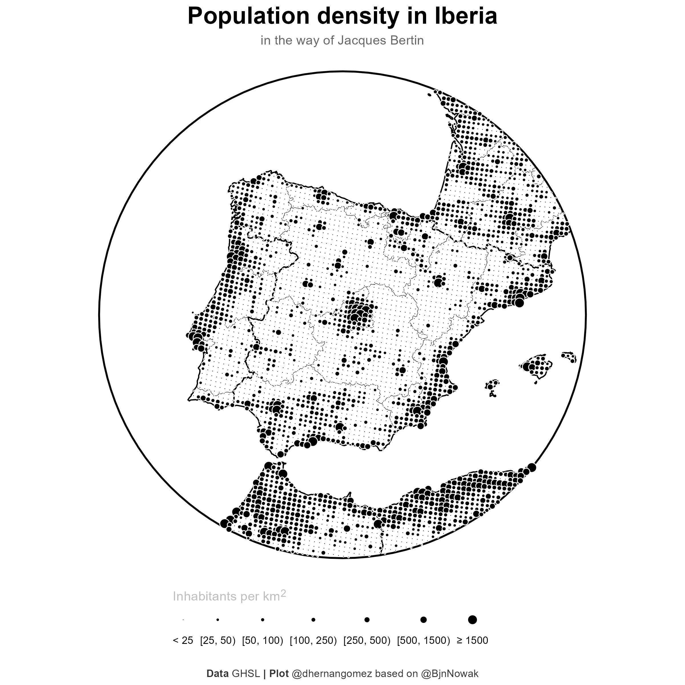
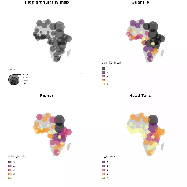
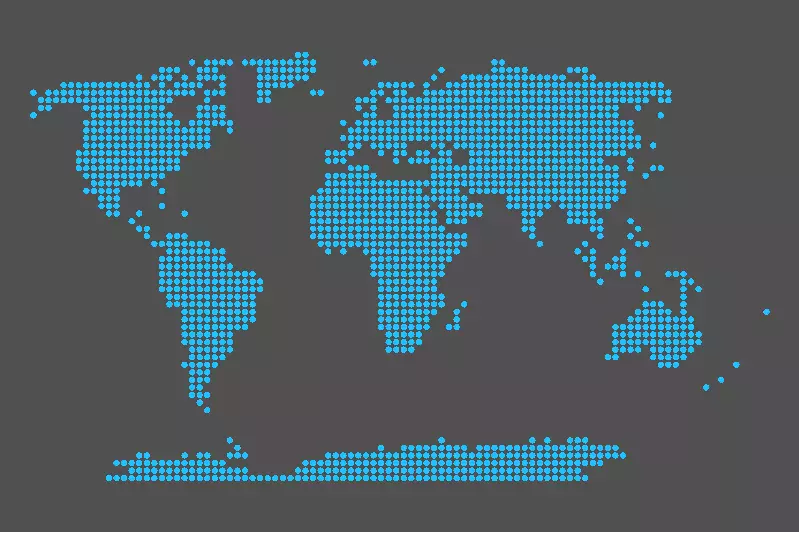
Bertin's dot density maps with R and GHSL - Another way to represent demographics on a map.| One world | Projects, maps and coding
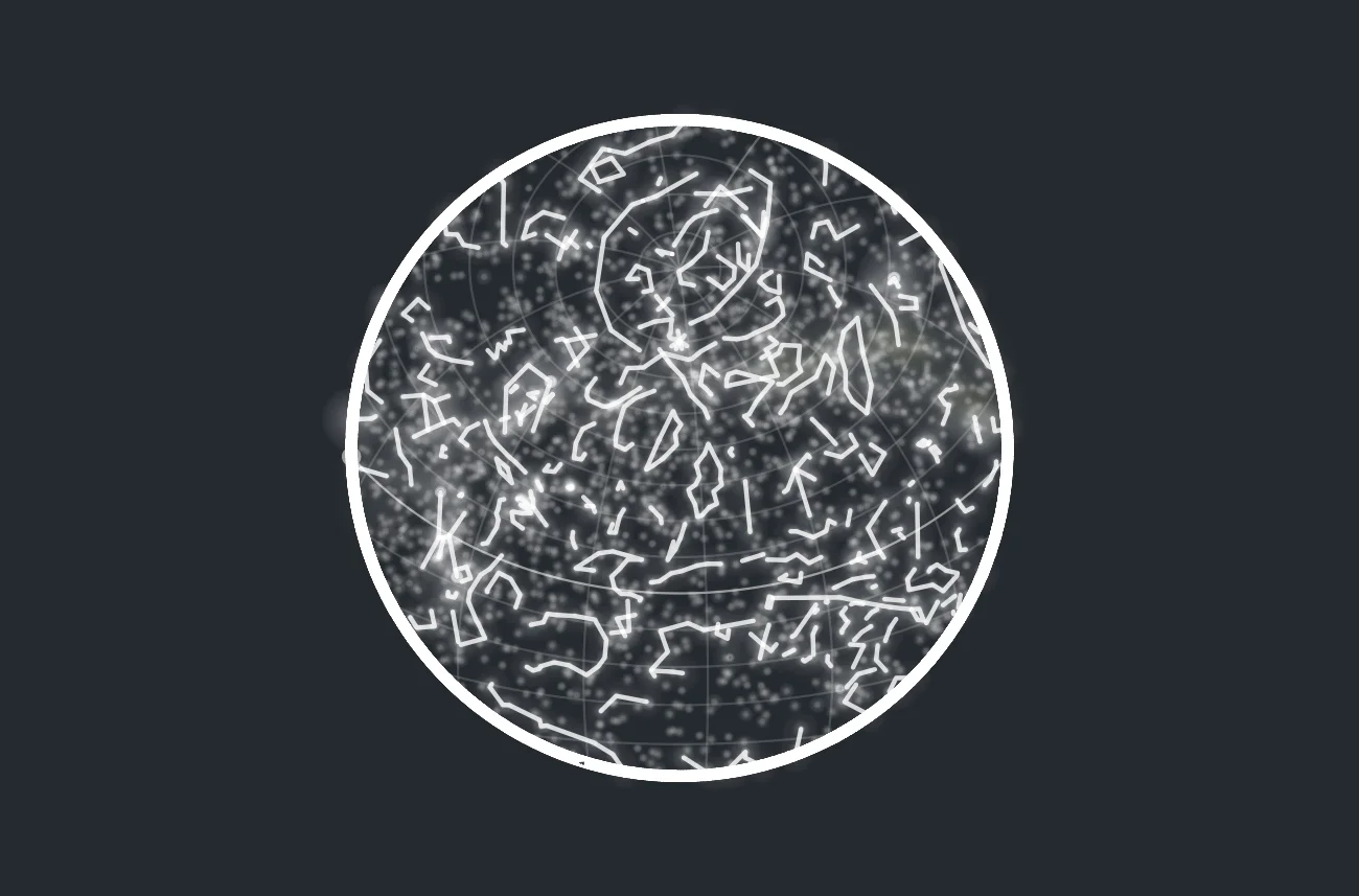
Creating Star Map Visualizations Based on Location and Date - A couple of weeks ago I was doing my daily...| One world | Projects, maps and coding
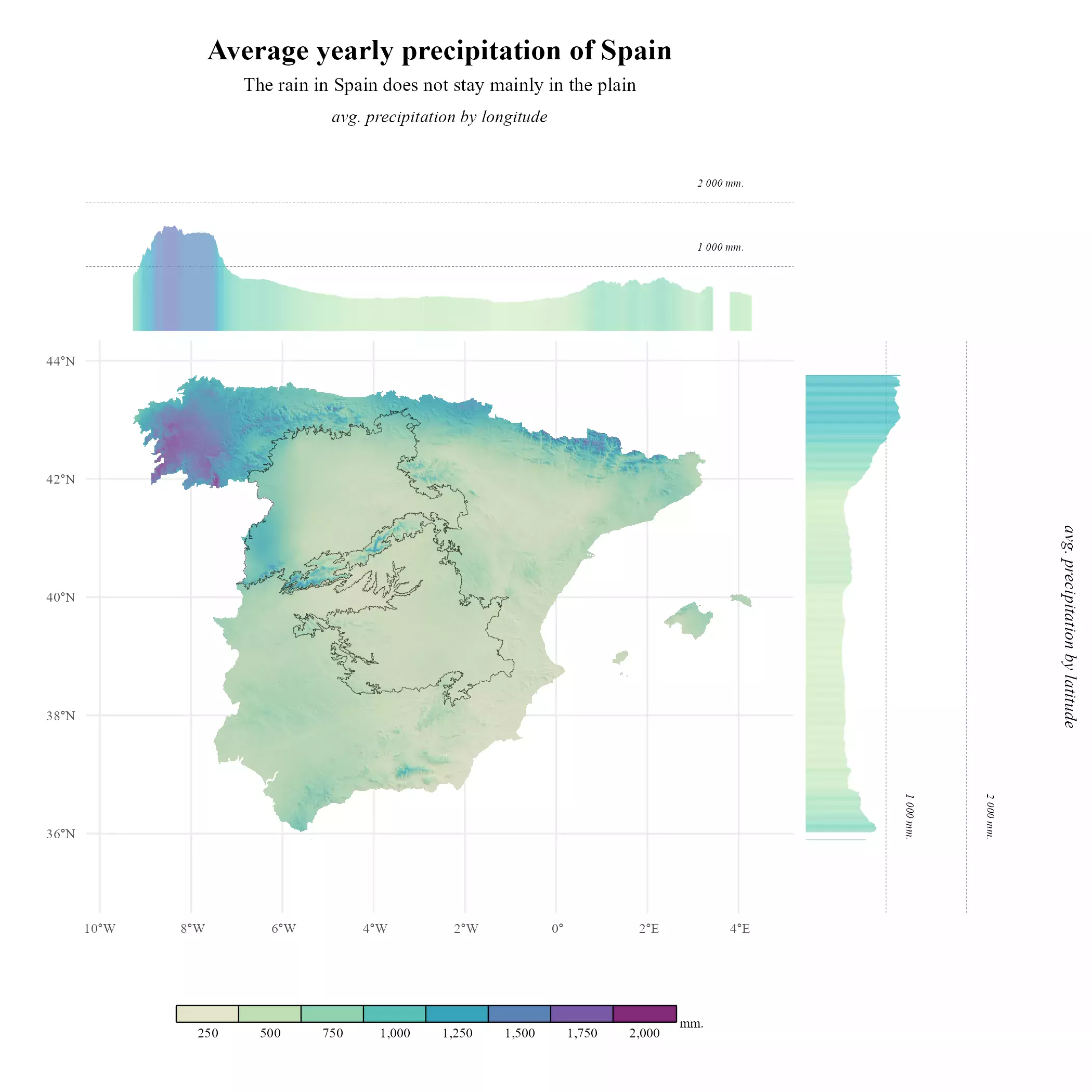
The rain in Spain does not stay mainly in the plain - Add marginal plots to a SpatRaster map on...| One world | Projects, maps and coding
How to overlay SpatRasters - Using shadow effects on relief mappings is a very common technique, that allows to produce...| One world | Projects, maps and coding
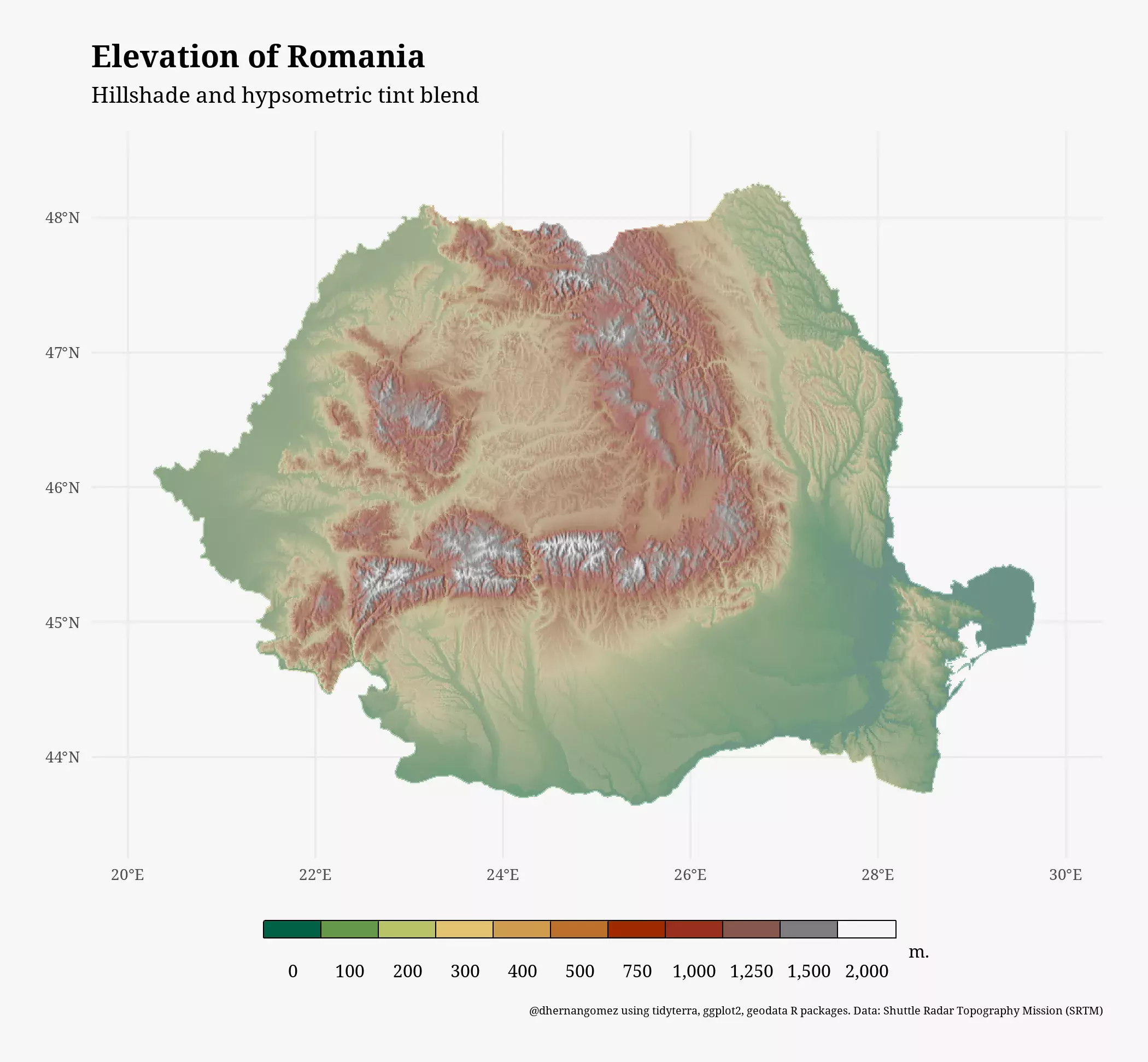
Easily work and ggplot SpatRasters - tidyterra provides tidyverse methods for terra objects and geom functions for plotting with ggplot2....| One world | Projects, maps and coding
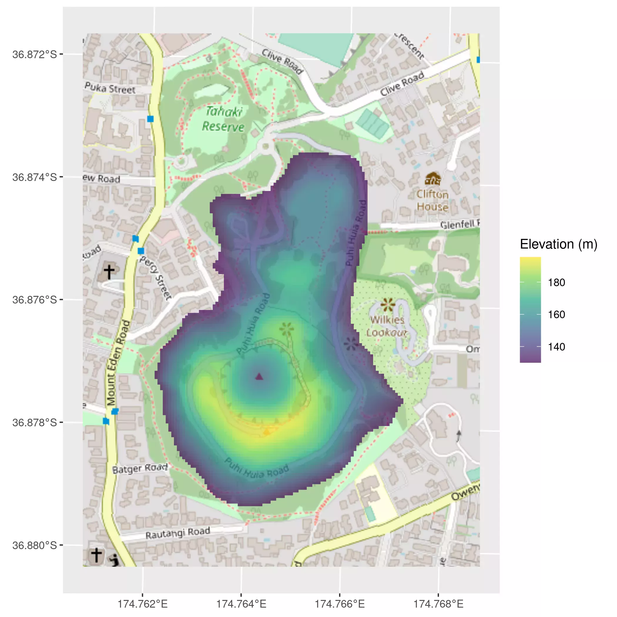
Joyplot elevation maps with ggridges and terra - Create ridgelines (AKA joyplots) of territories using elevation data with R, sf,...| One world | Projects, maps and coding
A map on a map - A common challenge when creating maps is how to include an inset map on...| One world | Projects, maps and coding
Any picture as a basemap - On 27 Jan. 2022 my package rasterpic was accepted on CRAN (Hooray!!). This package...| One world | Projects, maps and coding
There are far more ordinary people (say, 80 percent) than extraordinary people (say, 20 percent); this is often characterized by...| One world | Projects, maps and coding
Vignette of the package expansion - Introduction| One world | Projects, maps and coding
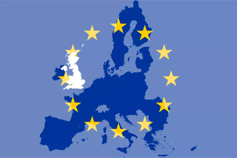
Brexit and the consequences - This is just a super-quick post regarding Brexit. Leaving apart economical, political and social considerations,...| One world | Projects, maps and coding
A solution for b/w and academic maps. - Updated 17 february 2020: All these pieces of work are already available...| One world | Projects, maps and coding

An alternative using plot() - How to place an inset map in R? There are many solutions out there using...| One world | Projects, maps and coding
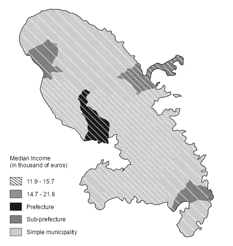
A choropleth map with R - This is a quick post on how to create a map as per the...| One world | Projects, maps and coding
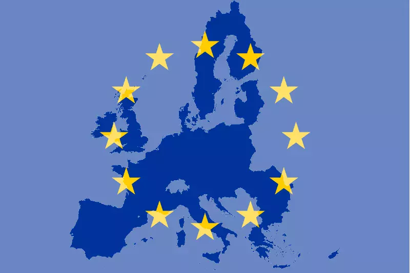
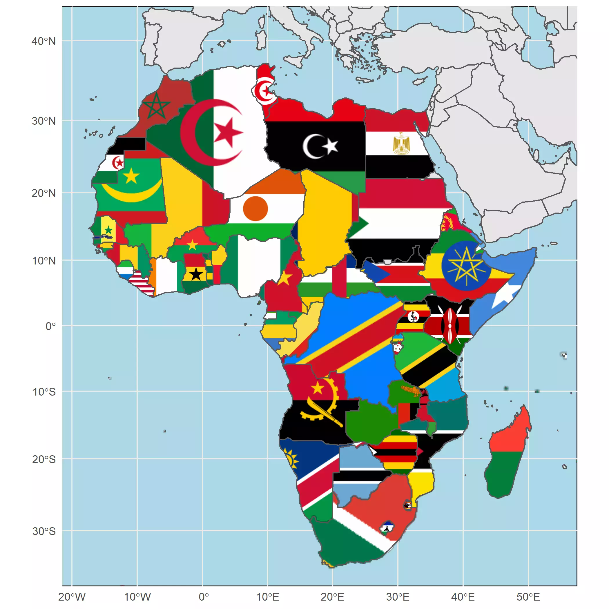
Put a picture on your map - Want to use a flag (or any *.png file) as a background of...| One world | Projects, maps and coding
Awesome simplified maps with R - Sometimes you want to produce maps with special layouts. I specially like maps with...| One world | Projects, maps and coding
Make it work in 6 steps - a short tutorial - Recently I have been struggling when trying to embed...| One world | Projects, maps and coding
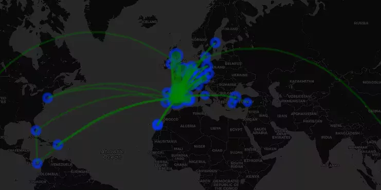
A leaflet map with the places I have flown - This is a very personal post, where I just show...| One world | Projects, maps and coding
User-defined function using sf package - This post introduces a used-defined function used for casting sf objects of class LINESTRING...| One world | Projects, maps and coding
vignette of the CountryCodes project - This vignette is an example of use of the database provided in the Github...| One world | Projects, maps and coding
