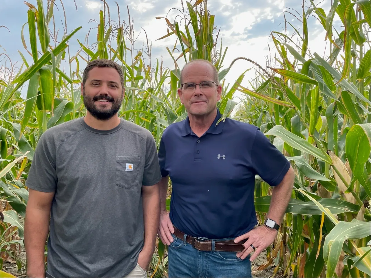
A NASA and U.S. Geological Survey (USGS)-supported research and development team, OpenET, is making it easier for farmers and ranchers to manage their water resources with the FARMS tool.| Landsat Science | A joint NASA/USGS Earth observation program.
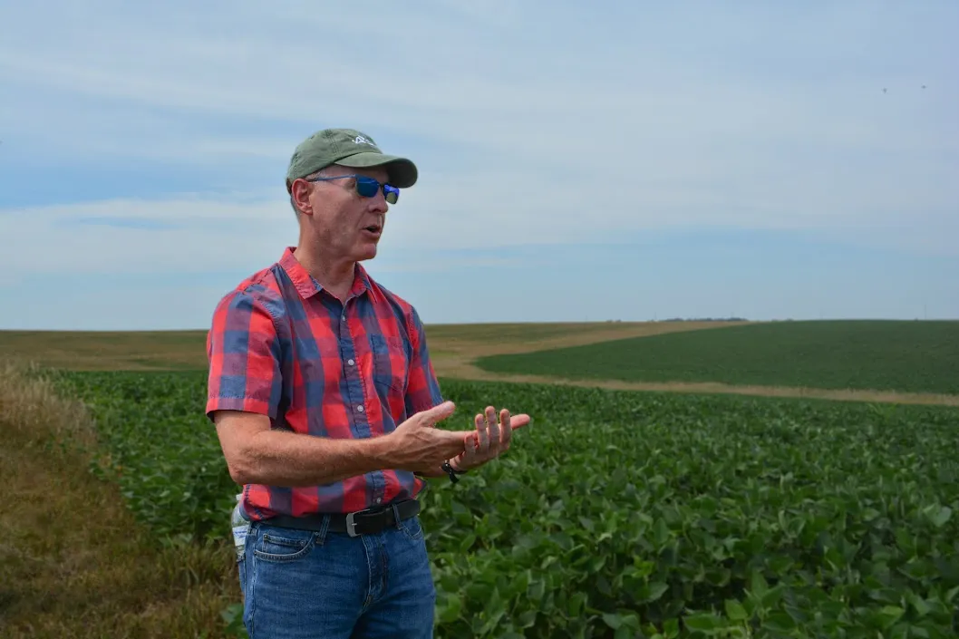
From his South Dakota roots to leading NASA's agricultural program, Brad Doorn's mission has remained the same: help farmers feed the world.| Landsat Science | A joint NASA/USGS Earth observation program.
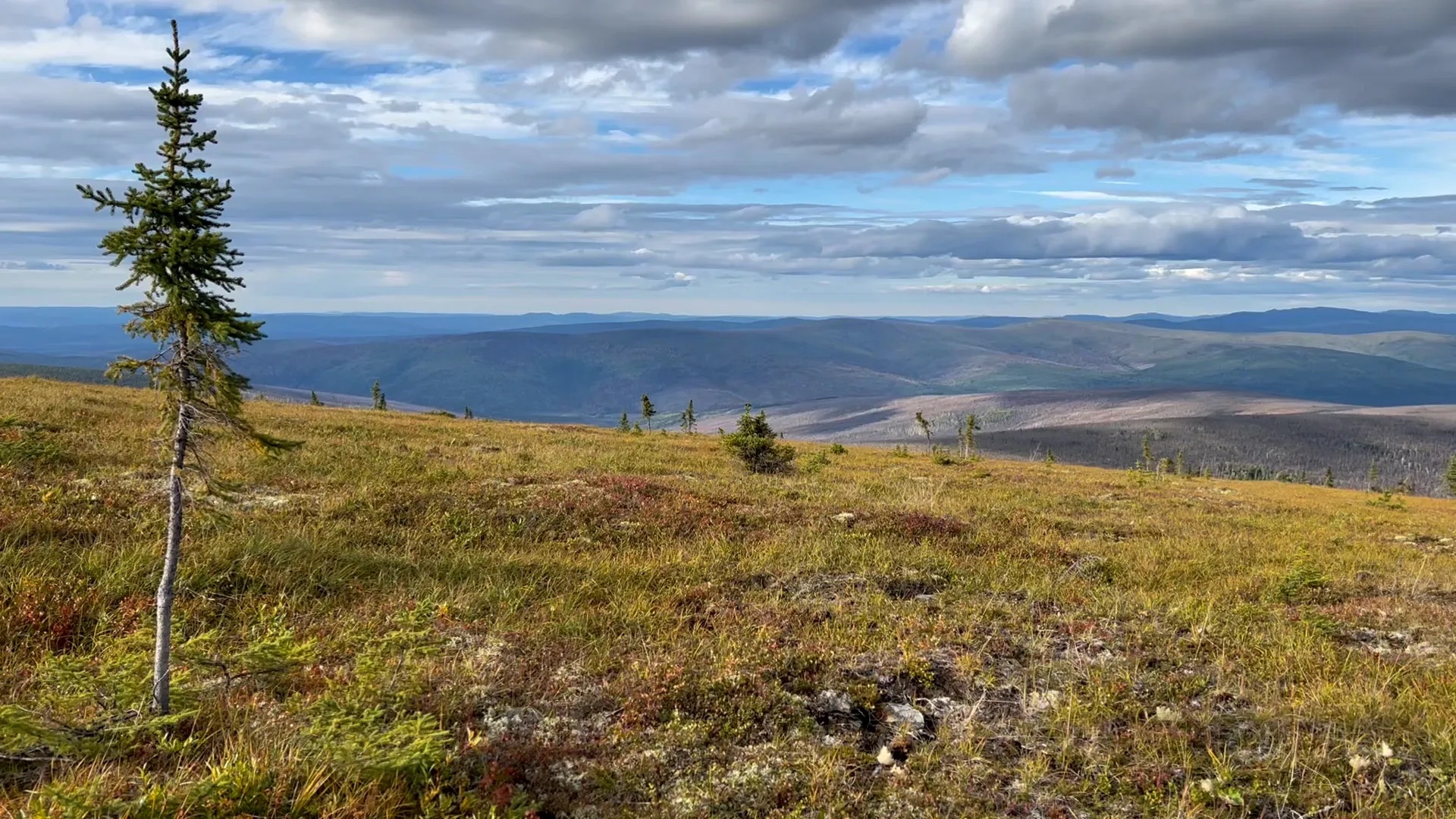
Warming global climate is changing the vegetation structure of forests in the far north. It’s a trend that will continue at least through the end of this century, according to NASA researchers.| Landsat Science | A joint NASA/USGS Earth observation program.
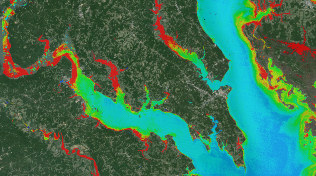
A combination of Landsat and Sentinel-2 imagery, NASA near real-time data, and machine learning provides near real-time access to high-resolution water quality maps.| Landsat Science | A joint NASA/USGS Earth observation program.
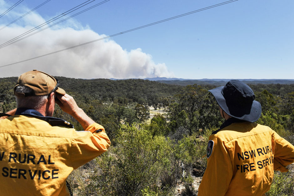
The Australian company Indji Systems uses a variety of satellite data to provide real-time hazard monitoring and alerts to utility and renewable energy companies across Australia, North America and Europe.| Landsat Science | A joint NASA/USGS Earth observation program.
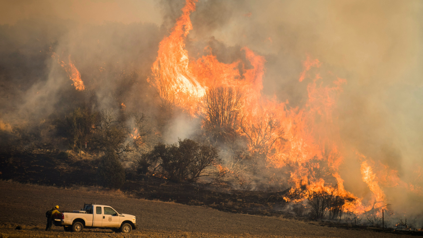
A new study using NASA satellite data reveals how drought affects the recovery of western ecosystems from fire, a result that could provide meaningful information for conservation efforts.| Landsat Science | A joint NASA/USGS Earth observation program.
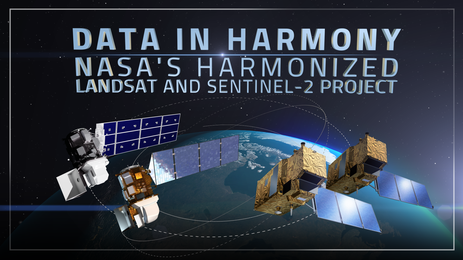
NASA's Harmonized Landsat and Sentinel-2 (HLS) project is a groundbreaking initiative that combines data from Landsats 8 & 9 with the European Space Agency's Sentinel-2A & 2B satellites.| Landsat Science | A joint NASA/USGS Earth observation program.
Landsat satellites have begun regularly acquiring images of ice at the poles during the winter, with enlightening results.| Landsat Science | A joint NASA/USGS Earth observation program.