
Germany's Scan Vehicles: LiDAR for Parking Enforcement – TechAcute
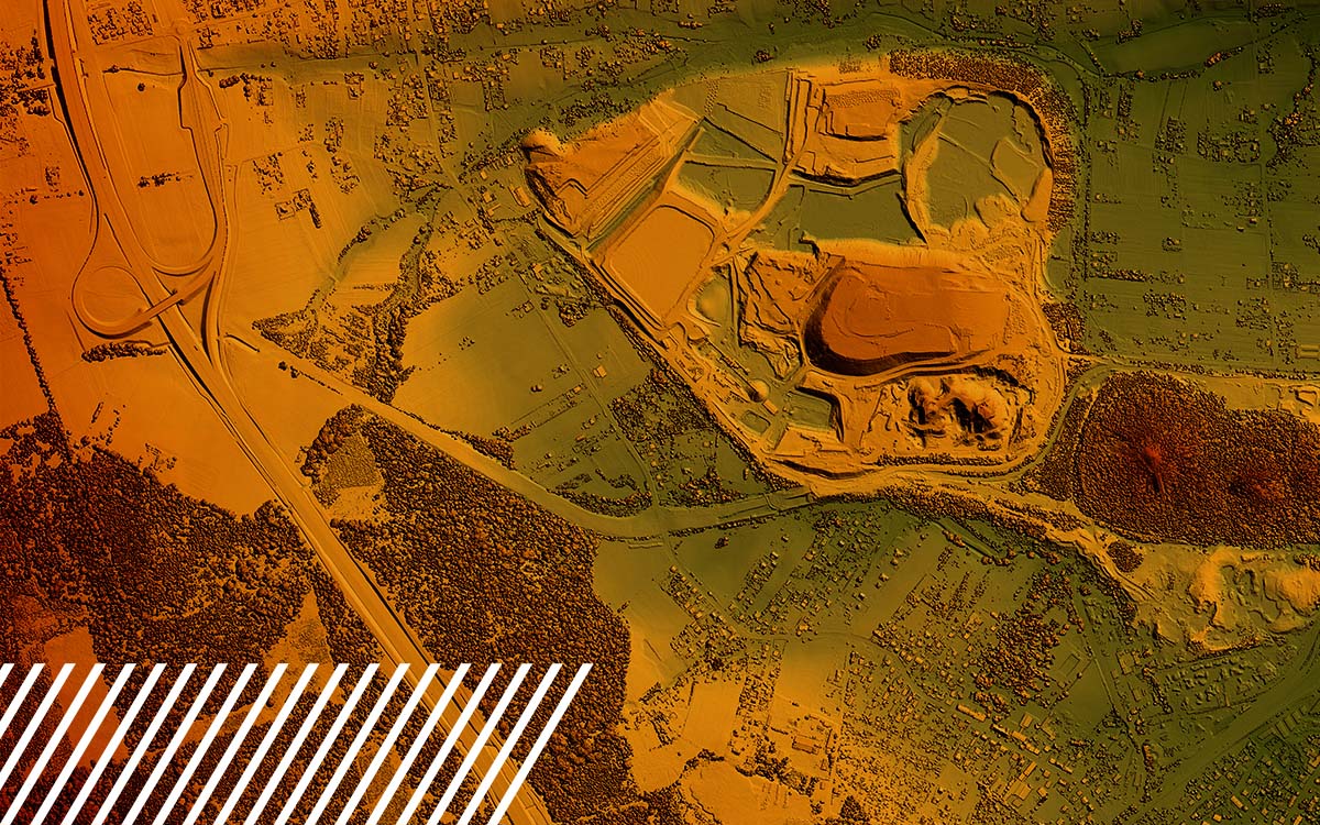
The deployment of scan vehicles for digital parking enforcement. First tested in Baden-Württemberg, this innovative approach is...| TechAcute
Hesai's lawsuit comes as Seyond prepares for its Hong Kong listing. For details, please visit CnEVPost.| CnEVPost
LiDAR could've created a security system to stop the Louvre heist by providing real-time spatial awareness and detecting miniscule changes. The post How LiDAR Could Have Prevented the Louvre Museum Jewelry Heist appeared first on Security Sales & Integration.| Security Sales & Integration
The deployment of scan vehicles for digital parking enforcement. First tested in Baden-Württemberg, this innovative approach is...| TechAcute

Watch as Kevin O’Leary grills FlyGuys CEO Joe Stough on scaling drone-powered data, fueling AI innovation, and why culture drives success.| FlyGuys
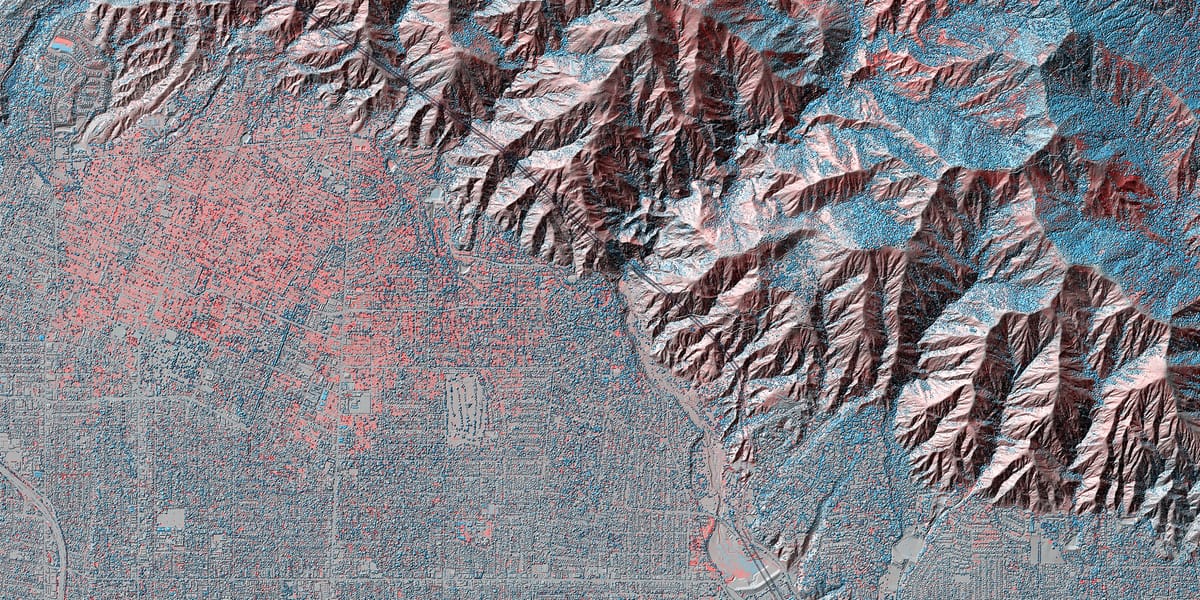
Comparing LiDAR data from before and after the January 2025 fires in Los Angeles reveals the scale of devastation in ways satellite imagery can’t match.| Beautiful Public Data
Find out how LiDAR can save you time and money Source| FlyGuys
With IAA Mobility and the RISC-V Automotive Conference 2025 just around the corner, I’ve pulled together the top themes from recent expert panels that every automotive leader should have on their LiDAR.| riscv.org

Anabel Roza is Seattle City Light’s Vegetation Management & Wildfire Mitigation Manager Every year, utilities across the country report vegetation-related outages. In fact, some of the worst wildfires in history have started when trees touched power lines. In a region like ours, where forests and infrastructure often overlap, the stakes are high. That’s where the […]| Powerlines
Find out how FlyGuys integrates with your AI to fuel your business. Source| FlyGuys
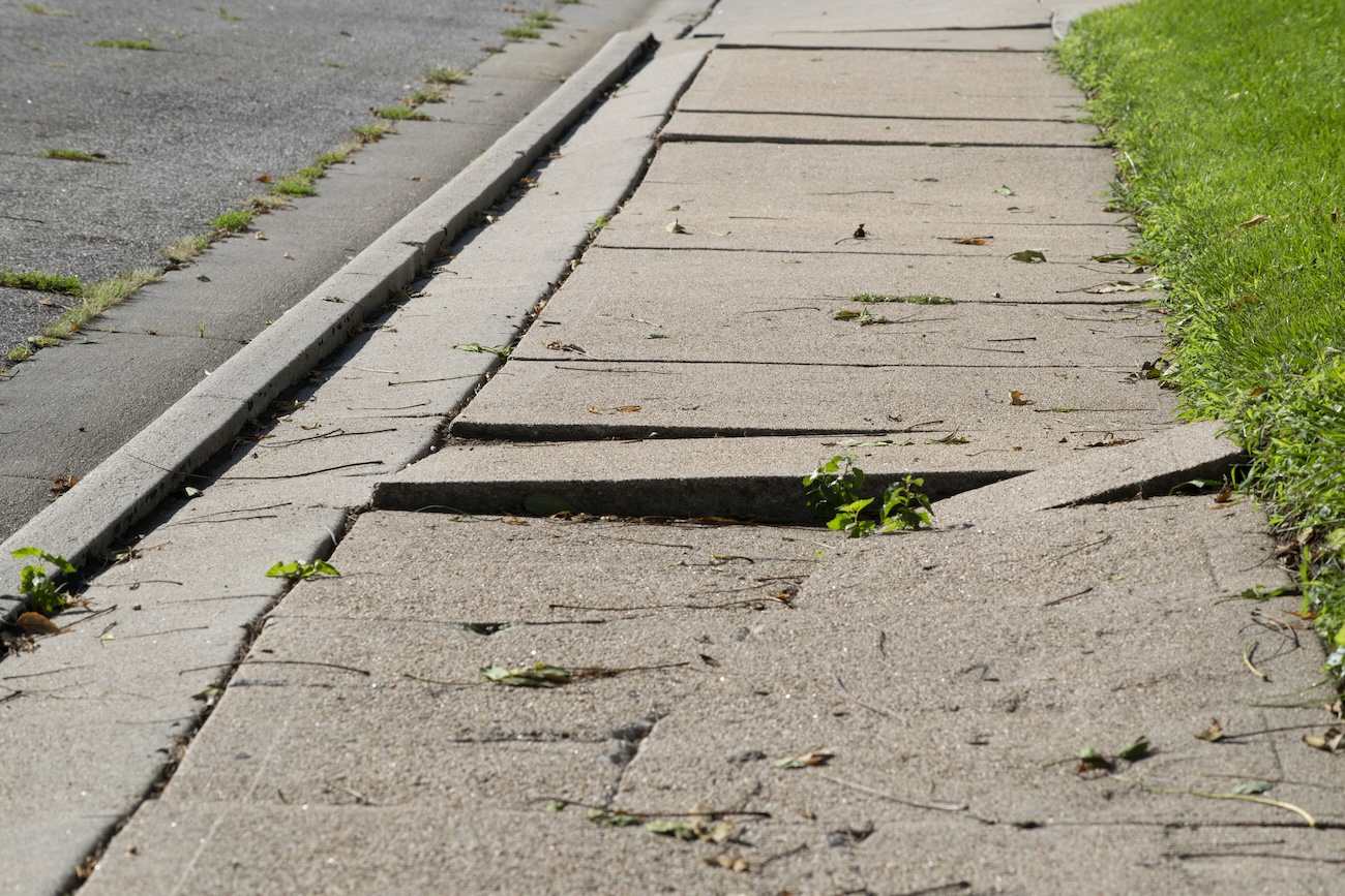
The two Midwest cities are using GIS, artificial intelligence and lidar to make fix accessibility issues with their curb ramps and sidewalks.| StateScoop
While we may still not have flying cars, robot butlers or food replicators actually in our possession, you can now order something else you may have long dreamt of. It's called the Photon Matrix, and it uses lasers to track and kill airborne mosquitoes.| New Atlas

The FlyGuys Pilot App is here, making mission management easier than ever. Download today.| FlyGuys
Earlier in 2014 I backed a kickstarter project and I was very excited, the project made the stretch goal to build lasers into these range finders. Today I opened up the box on my desk, that arrived recently and I am really excited to test out the range finders, their precision, and their usability for […]| Martin Wojtczyk

Learn how reality data capture enhances disaster preparedness with 3D models for risk assessment, scenario planning, infrastructure monitoring.| FlyGuys
Transportation Troubleshooting: How Drone Technology Is Adding New Perspectives to Transportation| informedinfrastructure.com
Explore the power of multispectral imaging in agriculture. Enhance crop health, disease prevention, and resource management.| FlyGuys
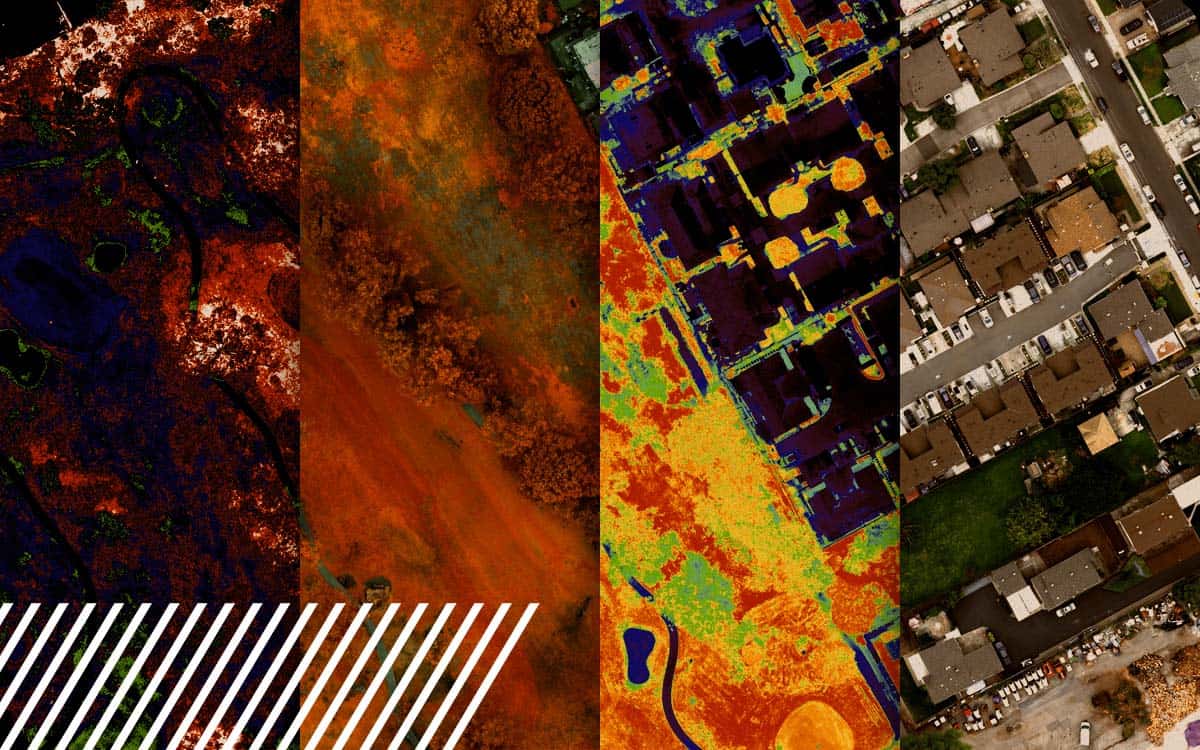
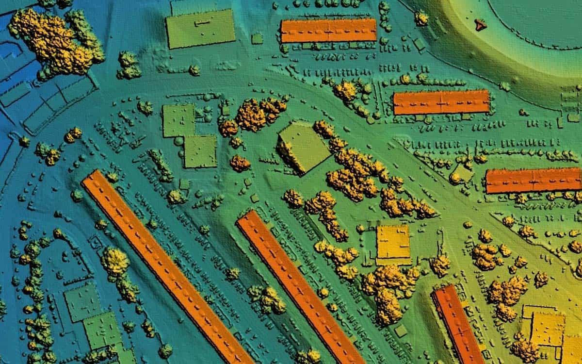
Discover the capabilities and limitations of LiDAR technology while dispelling common misconceptions about its various applications.| FlyGuys
Read how reality data capture is crucial for the engineering industry. Learn how the technology enables 3D modeling.| FlyGuys
My day today was mostly taken up by labs. I had one big one talking about the future of my App Jellycuts. The reason for this is because of how iOS 15 and macOS 12 have changed Shortcuts. To better fit this new method of Shortcuts sharing, I will have to do a lot of work, from rewriting a good chunk of my sharing code 🤯 to possibly making a whole macOS server 😅. All of this change got me thinking about how platforms like Tumblr need to adapt to new spaces. That is what I will be talking...| Codrs
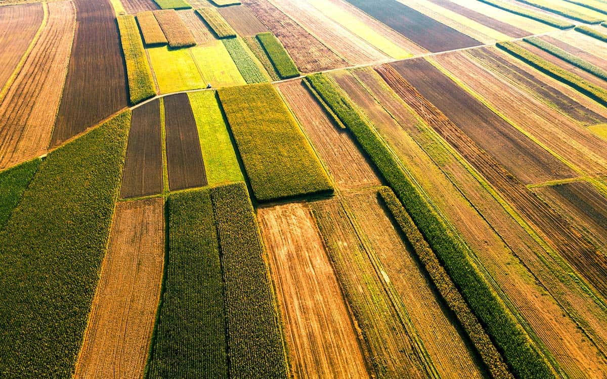
Reality Data Capture empowers farmers with precise and real-time information about their fields aiding in decision-making.| FlyGuys
