Local governments use GIS to find and fix inaccessible sidewalks, curb ramps | StateScoop
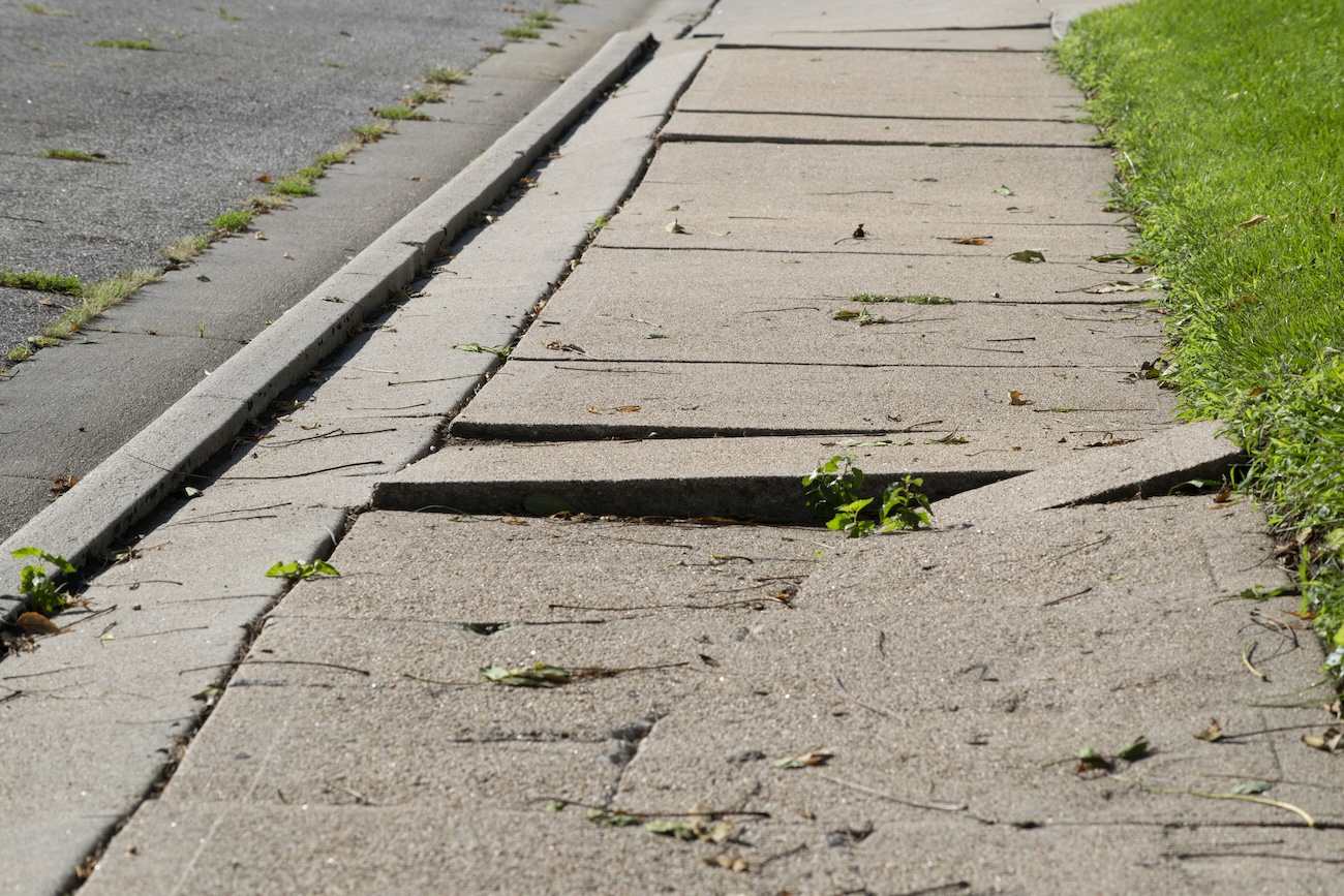
The two Midwest cities are using GIS, artificial intelligence and lidar to make fix accessibility issues with their curb ramps and sidewalks.| StateScoop
The two Midwest cities are using GIS, artificial intelligence and lidar to make fix accessibility issues with their curb ramps and sidewalks.| StateScoop
Let's begin with a story, from some time around the early 1990s in the north of Scotland. I used to go to a church in Inverness with my Mum when I was growing up and although I've forgotten lots of things, one of the things I do remember is the minister asking this question at the start of a sermon:| Stats, Maps n Pix
Esri GIS to help develop digital farms| informedinfrastructure.com

Local election offices are using mapping software to improve the transparency of their processes and to encourage more people to go vote.| StateScoop

Continuing the series on the history of mapping, Map Happenings publishes the 6th ‘Map Happening’ that rocked our world and delves into the advent of Computer Based Mapping. Read the fa…| Map Happenings
