Meet Julia Barsi, Landsat Calibration Scientist | Landsat Science
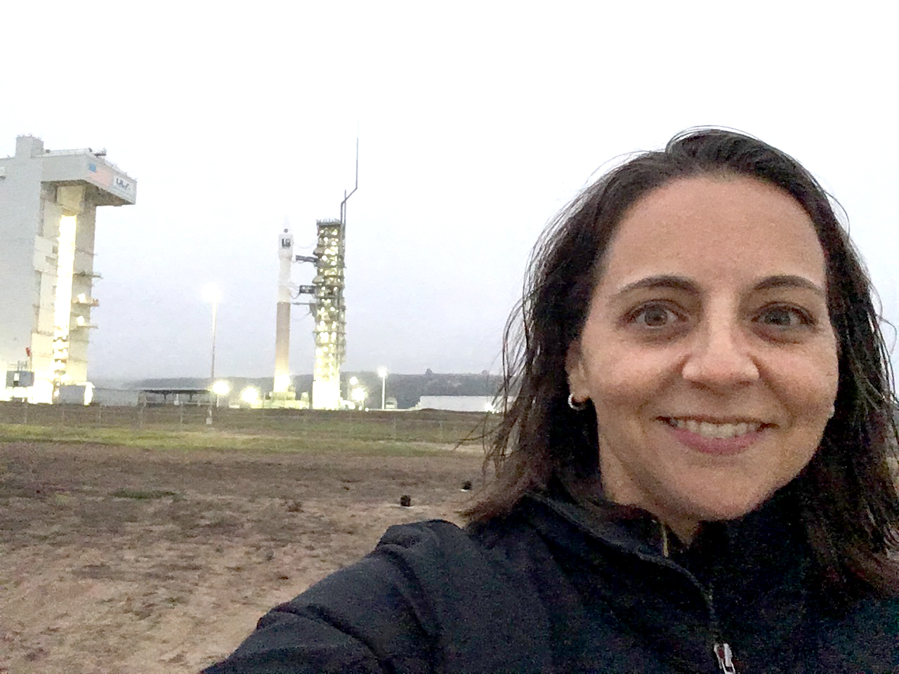
Julia Barsi calibrates instruments on Landsat satellites.| Landsat Science | A joint NASA/USGS Earth observation program.
Julia Barsi calibrates instruments on Landsat satellites.| Landsat Science | A joint NASA/USGS Earth observation program.

Data interoperability expert Dana Ostrenga explains how government and commercial Earth observation satellites provide broader support to the scientific community when used together.| Landsat Science | A joint NASA/USGS Earth observation program.

Why do we calibrate Landsat data? We spoke with Brian Markham, a key figure of Landsat calibration science for four decades. He said that it all comes down to this: "If we're using a system to quantify changes on the Earth, we must make sure the system we're using is not changing."| Landsat Science | A joint NASA/USGS Earth observation program.
