
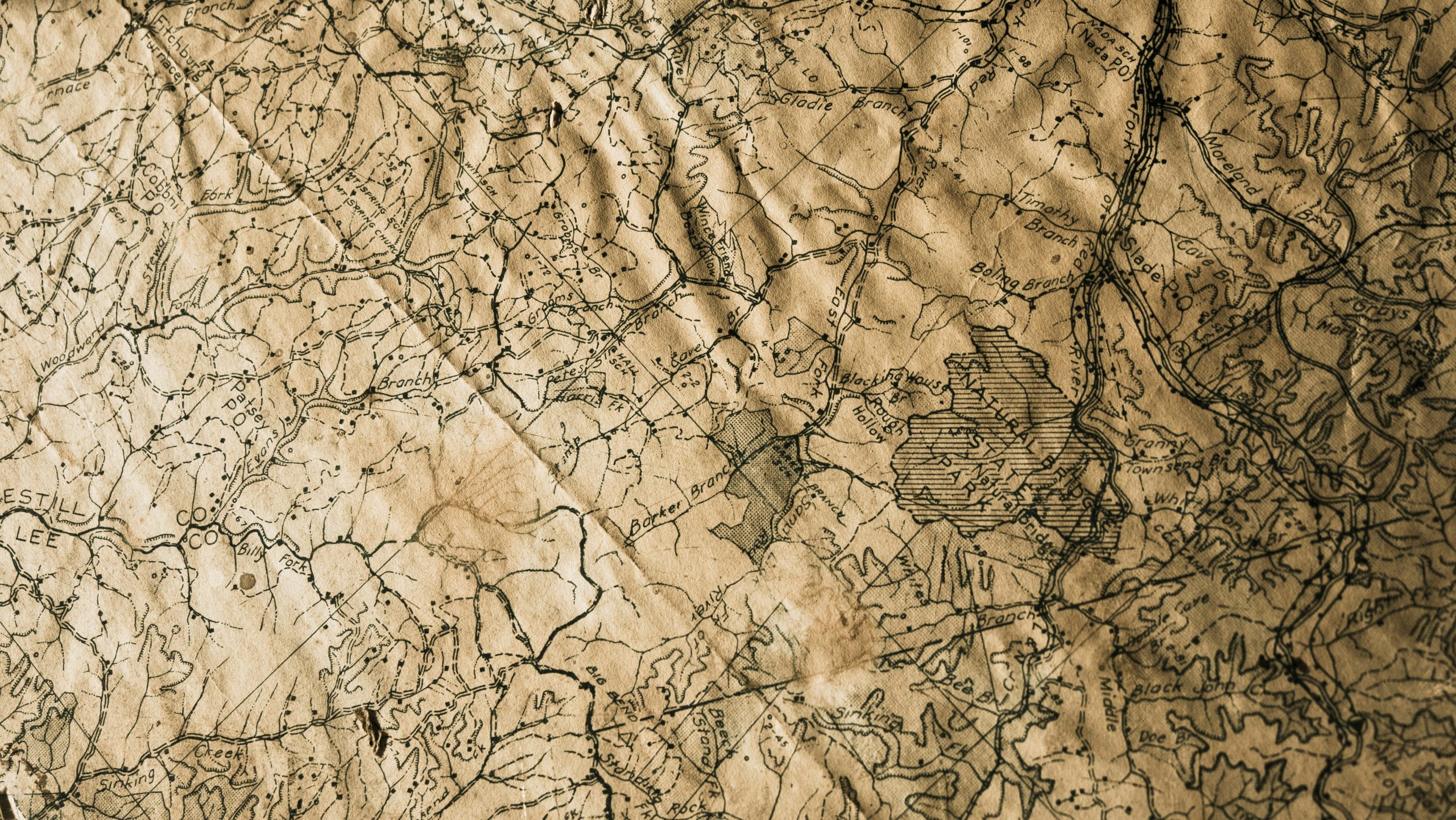
Alan Leidner on Underground Data & MUDDI Standards | OGC
Explore how Alan Leidner’s 9/11 experience shaped global underground data standards and led to the creation of MUDDI with OGC.| Open Geospatial Consortium
Explore how Alan Leidner’s 9/11 experience shaped global underground data standards and led to the creation of MUDDI with OGC.| Open Geospatial Consortium

Undersea cables carry 99% of internet traffic. Learn how OGC’s geospatial standards help protect this critical infrastructure from risks and disruptions.| Open Geospatial Consortium
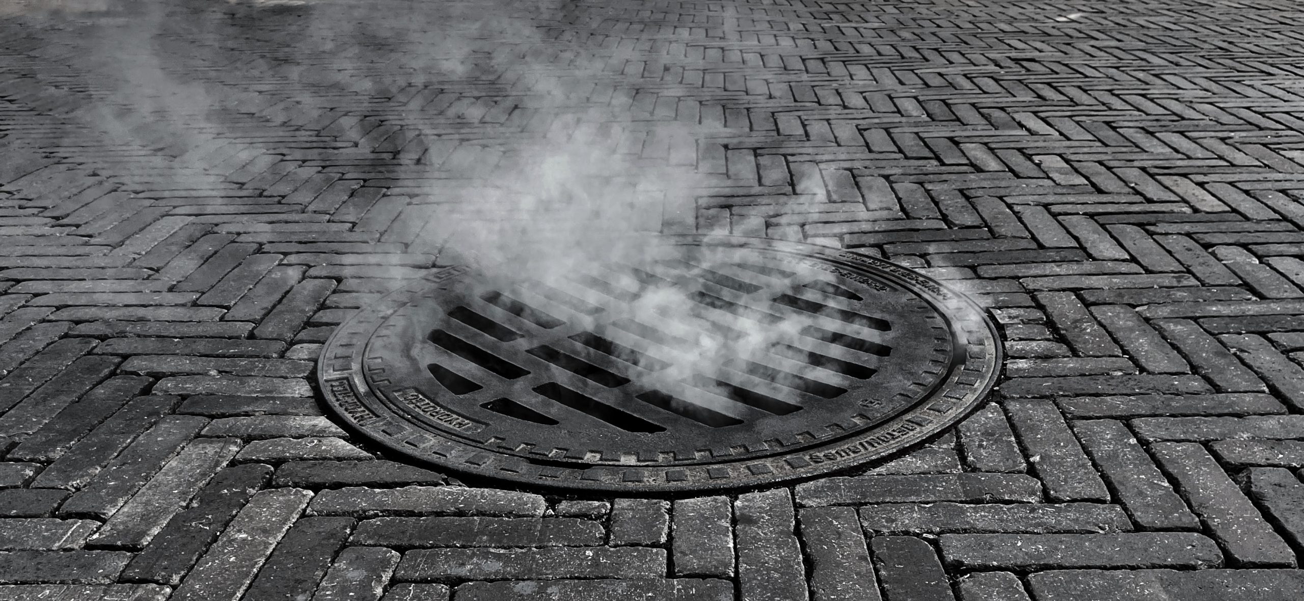
Discover how the MUDDI standard is transforming underground infrastructure data to build safer, smarter, and more resilient cities from the ground down.| Open Geospatial Consortium
Discover OGC's approval of API Maps Part 1: Core as an official standard, enhancing geospatial map delivery and integration capabilities.| Open Geospatial Consortium

Learn about OGC's approval of API Features Part 3: Filtering as an official standard, enhancing geospatial data query and retrieval capabilities.| Open Geospatial Consortium

The virtual Code Sprint will be held held March 25-27, 2025. All OGC Standards are in scope for this code sprint, including OGC API Standards.| Open Geospatial Consortium

Learn about the approval of OGC API Moving Features Part 1 as a standard, advancing the handling of dynamic geospatial data.| Open Geospatial Consortium
