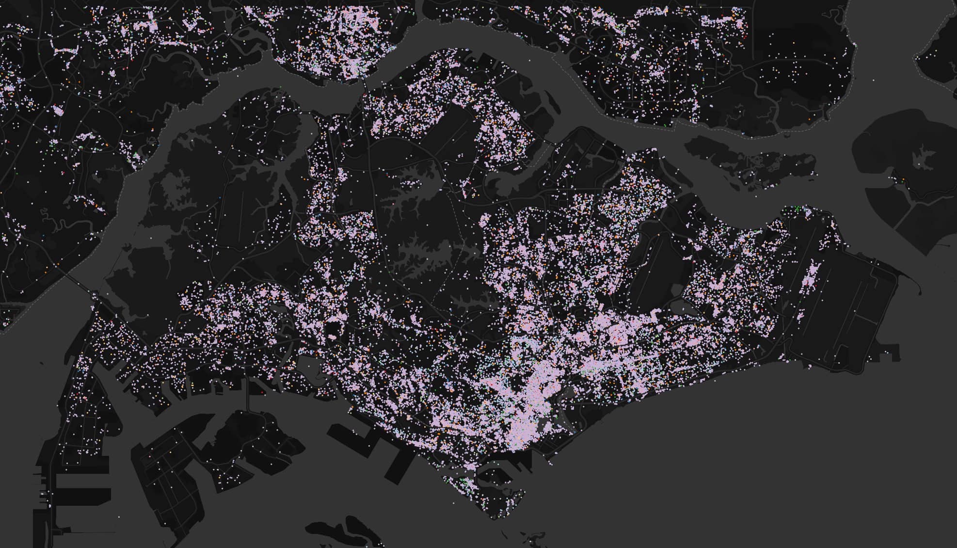
PMTiles is the open archive format that underlies the Protomaps ecosystem. It’s a single file that enables deploying an entire world map as a static artifact, making mapping accessible to the widest audience of front-end developers and neogeographers. However, PMTiles isn’t the right solution for all mapping applications. PMTiles is made for web-based viewing of large, mostly static datasets., for example: base maps built from OpenStreetMap data. An interactive exploration of building age...