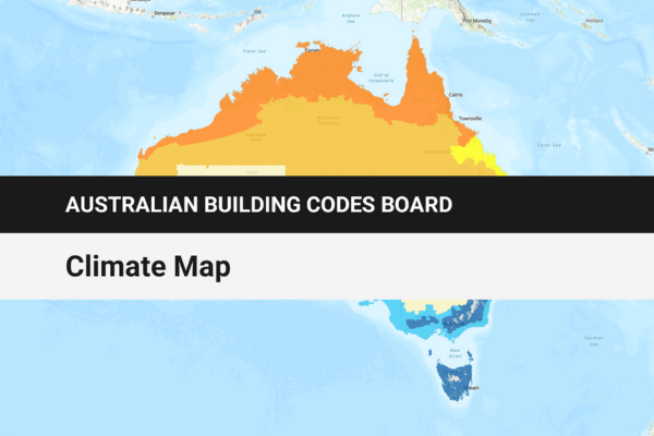
The Australian Building Codes Board (ABCB) has published a climate map that uses geospatial data, dynamic layers and static reference maps. The ABCB collaborated with the Department of Industry, Science and Resources data strategy team and the Digital Atlas of Australia team at Geoscience Australia to create the interactive map. The data on the map covers existing NCC climate zones, local government area (LGA) boundaries, relative humidity and alpine area classifications. Key features of the ...