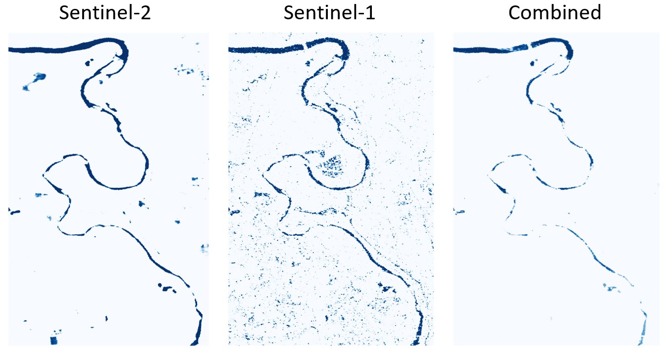
This webinar will discuss an approach for integrating Sentinel-2 (optical) and Sentinel-1 (SAR) water maps that was inspired by the Copernicus Global Flood Monitoring service, which combines flood likelihood maps from different SAR algorithms into an ensemble flood product.